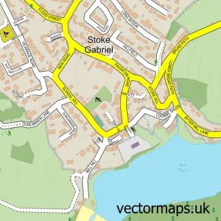
This Totnes street map is a detailed vector street map covering a 750m x 750m area. Select a larger area to create and download your own vector street map of Totnes.
The 750-metre map sample for Totnes covers 357 mapped buildings and approximately 23.8 km of road detail, of which 54 named roads are named. The immediate area includes 1 school, 1 GP surgery, with 2 within 2 miles, 10 pubs and 3 MOT stations, with 7 within 2 miles. The wider area around Totnes features 12 tourism points of interest, 38 food and drink venues and 4 hotels. To create a larger or custom map of Totnes, the map builder lets you define your own coverage area and download editable SVG, PDF and PNG files.
Create a larger editable map of Totnes
Choose any area you need and generate a high-quality vector map instantly. Perfect for print, planning, design, business and personal use.

This Totnes street map in Devon is available as downloadable SVG, PDF and PNG map files, or as a printed map for planning, business, display, education, local information and design work. You can also create a larger custom map area using the map selector.
What this Totnes map sample shows
Totnes lies within Totnes Cp parish, part of Totnes ward in the South Hams District local authority area. The postcode geography for this area includes the TQ postcode area, the TQ9 postcode district and the TQ9 5 postcode sector. Residents fall under the Nhs Devon Integrated Care Board for NHS services.
Local features near Totnes
Within 2 milesAmenities and services in and around Totnes.
Administrative and postcode information for Totnes
The local authority covering Totnes is South Hams District, within the county of Devon. The settlement lies within Totnes ward and Totnes Cp civil parish. The TQ9 postcode district and TQ9 5 postcode sector serve the immediate area. NHS provision in the area is delivered through Torbay And South Devon Nhs Foundation Trust.
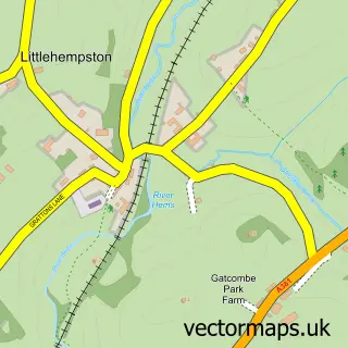
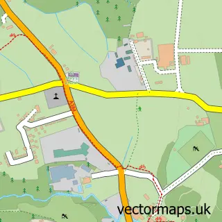
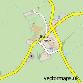
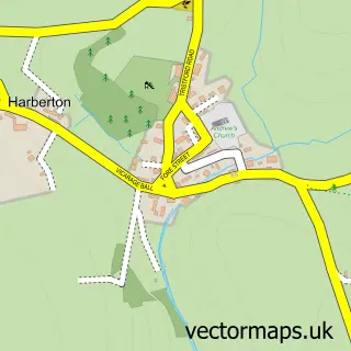
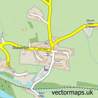
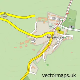
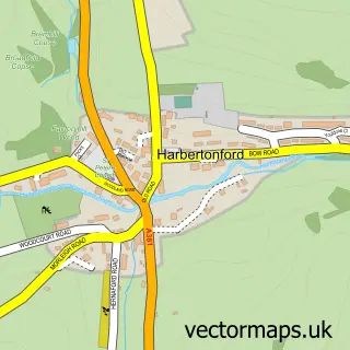
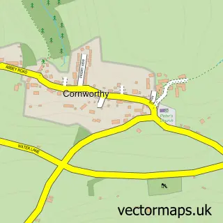
Nearby street map samples around Totnes

More street maps in Devon
750 metre map area coverage
Boundary, postcode and point of interest information for the 750m x 750m rectangle centred on this sample map.
Boundaries containing map centre
Constituency: South Devon Co Const
County: Devon County
District: South Hams District
Icb: NHS Devon ICB
Parish: Totnes CP
Police Force: devon and cornwall
Postcode District: TQ9
Postcode Sector: TQ9 5
Ward: Totnes Ward
Nearby boundaries intersecting sample
No additional intersecting boundaries found.
Postcode coverage
POI category counts
Clothing Store: 20
Flowers And Gifts Shop: 19
Cafe: 13
Professional Services: 13
Charity Organization: 12
Hair Salon: 12
Naturopathic Holistic: 12
Jewelry Store: 11
Pub: 10
Acupuncture: 9
Sample points of interest
- Designs Unlimited
- Darnells Chartered Accountants and Business Advisers
- TaxAssist Accountants
- River Dart Totnes
- Arcturus Clinic
- Bank Lane Practice
- BioEnergetic Health
- Charlotte Johnston - Acupuncture
- Michael Potter Acupuncture & Chinese Herbal Medicine
- Michael Potter Acupuncture and Chinese Herbal Medicine
- Ross Hargrave Lic.Ac., M.B.Ac.C
- Sarah Horswell
Create a larger editable map of Totnes
This sample shows only a 750 metre area. To create a larger map of Totnes, use our map builder to choose your own coverage area, add titles and download editable SVG, PDF and PNG files.
Create a custom map of Totnes