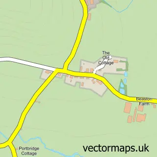
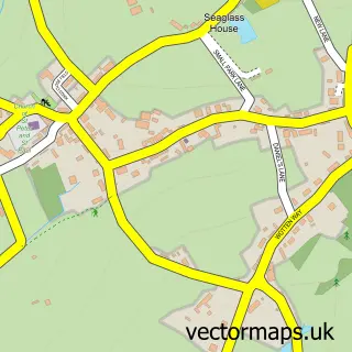
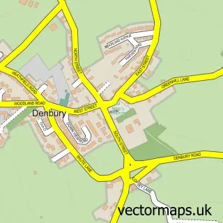
This Staverton street map is a detailed vector street map covering a 750m x 750m area. Select a larger area to create and download your own vector street map of Staverton.
The 750-metre map sample for Staverton covers 101 mapped buildings and approximately 6.9 km of road detail, of which 11 named roads are named. The immediate area includes 1 pub and 1 MOT station within 2 miles. The wider area around Staverton features 1 food and drink venue and 2 hotels. To create a larger or custom map of Staverton, the map builder lets you define your own coverage area and download editable SVG, PDF and PNG files.
Create a larger editable map of Staverton
Choose any area you need and generate a high-quality vector map instantly. Perfect for print, planning, design, business and personal use.

This Staverton street map in Devon is available as downloadable SVG, PDF and PNG map files, or as a printed map for planning, business, display, education, local information and design work. You can also create a larger custom map area using the map selector.
What this Staverton map sample shows
Staverton lies within Staverton Cp parish, part of Dartington & Staverton ward in the South Hams District local authority area. The postcode geography for this area includes the TQ postcode area, the TQ9 postcode district and the TQ9 6 postcode sector. Residents fall under the Nhs Devon Integrated Care Board for NHS services.
Local features near Staverton
Within 2 milesAmenities and services in and around Staverton.
Administrative and postcode information for Staverton
Staverton lies within Staverton Cp parish, part of Dartington & Staverton ward in the South Hams District local authority area. The postcode geography for this area includes the TQ postcode area, the TQ9 postcode district and the TQ9 6 postcode sector. Residents fall under the Nhs Devon Integrated Care Board for NHS services.
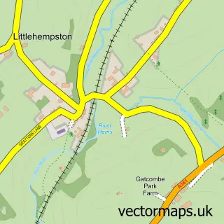
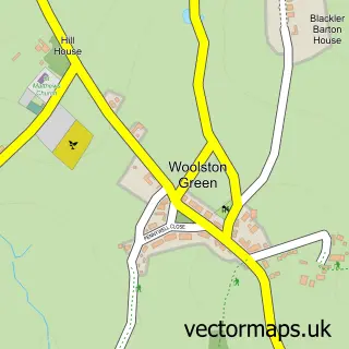
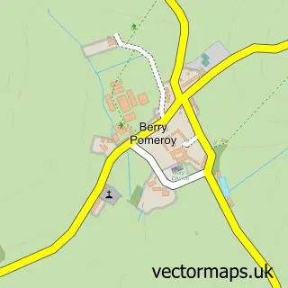
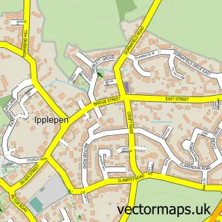
Nearby street map samples around Staverton

More street maps in Devon
750 metre map area coverage
Boundary, postcode and point of interest information for the 750m x 750m rectangle centred on this sample map.
Boundaries containing map centre
Constituency: South Devon Co Const
County: Devon County
District: South Hams District
Icb: NHS Devon ICB
Parish: Staverton CP
Police Force: devon and cornwall
Postcode District: TQ9
Postcode Sector: TQ9 6
Ward: Dartington & Staverton Ward
Nearby boundaries intersecting sample
Parish: Dartington CP
Postcode coverage
POI category counts
Hotel: 2
Anglican Church: 1
Business Consulting: 1
Dog Park: 1
Furniture Store: 1
Gastropub: 1
Gym: 1
Mountain Bike Trails: 1
Photography Store And Services: 1
Pub: 1
Sample points of interest
- St Paul de Leon, Staverton
- Certicate Limited
- Staverton River Walk
- Anthony Stilwell Furniture Restorations
- Sea Trout Inn
- Swim With Sally
- Dart Valley View
- The Sea Trout Inn
- Dart Valley Cycle Trail
- Gordon Nicholson Photography
- Sea Trout Inn
- Nappers Halt railway station
Create a larger editable map of Staverton
This sample shows only a 750 metre area. To create a larger map of Staverton, use our map builder to choose your own coverage area, add titles and download editable SVG, PDF and PNG files.
Create a custom map of Staverton