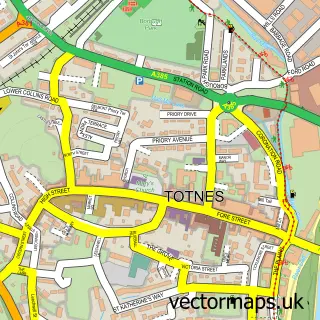
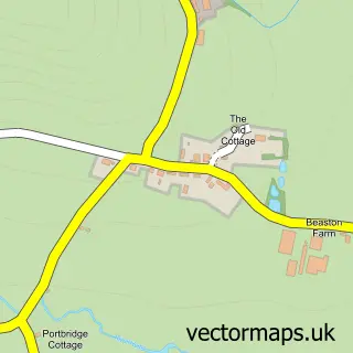
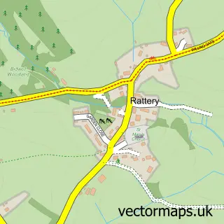
This Dartington street map is a detailed vector street map covering a 750m x 750m area. Select a larger area to create and download your own vector street map of Dartington.
The 750-metre map sample for Dartington covers 107 mapped buildings and approximately 7.0 km of road detail. The immediate area includes 3 schools, 2 GP surgeries within 2 miles and 6 MOT stations within 2 miles. The wider area around Dartington features 2 food and drink venues. To create a larger or custom map of Dartington, the map builder lets you define your own coverage area and download editable SVG, PDF and PNG files.
Create a larger editable map of Dartington
Choose any area you need and generate a high-quality vector map instantly. Perfect for print, planning, design, business and personal use.

This Dartington street map in Devon is available as downloadable SVG, PDF and PNG map files, or as a printed map for planning, business, display, education, local information and design work. You can also create a larger custom map area using the map selector.
What this Dartington map sample shows
Dartington lies within Dartington Cp parish, part of Dartington & Staverton ward in the South Hams District local authority area. The postcode geography for this area includes the TQ postcode area, the TQ9 postcode district and the TQ9 6 postcode sector. Residents fall under the Nhs Devon Integrated Care Board for NHS services.
Local features near Dartington
Within 2 milesAmenities and services in and around Dartington.
Administrative and postcode information for Dartington
The local authority covering Dartington is South Hams District, within the county of Devon. The settlement lies within Dartington & Staverton ward and Dartington Cp civil parish. The TQ9 postcode district and TQ9 6 postcode sector serve the immediate area. NHS provision in the area is delivered through Torbay And South Devon Nhs Foundation Trust.
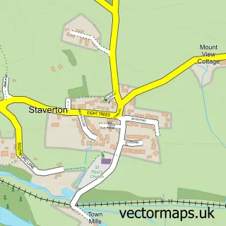
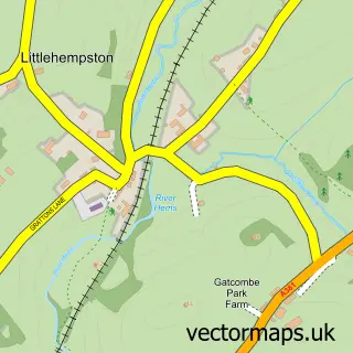
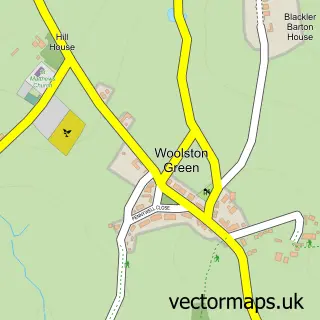
Nearby street map samples around Dartington

More street maps in Devon
750 metre map area coverage
Boundary, postcode and point of interest information for the 750m x 750m rectangle centred on this sample map.
Boundaries containing map centre
Constituency: South Devon Co Const
County: Devon County
District: South Hams District
Icb: NHS Devon ICB
Parish: Dartington CP
Police Force: devon and cornwall
Postcode District: TQ9
Postcode Sector: TQ9 6
Ward: Dartington & Staverton Ward
Nearby boundaries intersecting sample
No additional intersecting boundaries found.
Postcode coverage
POI category counts
Art Gallery: 2
Distillery: 2
Agricultural Service: 1
Anglican Church: 1
Coffee Shop: 1
College University: 1
Community Center: 1
Community Services Non Profits: 1
Disability Services And Support Organization: 1
Education: 1
Sample points of interest
- Agrivant Solutions
- St Mary's Dartington
- Cider Press Gallery
- Mint Creative Studio
- Bluebell Café
- Schumacher College
- Meadowbrook Community Centre
- LandWorks
- Robins Respite and Lifeskills Centre
- Devon Distillery
- Devon Gin and Rum School
- Ontrack Educational School
Create a larger editable map of Dartington
This sample shows only a 750 metre area. To create a larger map of Dartington, use our map builder to choose your own coverage area, add titles and download editable SVG, PDF and PNG files.
Create a custom map of Dartington