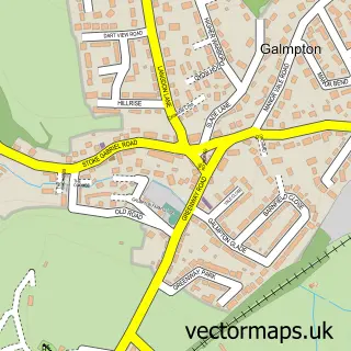
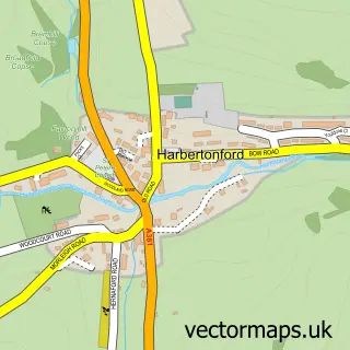
This Stoke Gabriel street map is a detailed vector street map covering a 750m x 750m area. Select a larger area to create and download your own vector street map of Stoke Gabriel.
The 750-metre map sample for Stoke Gabriel covers 322 mapped buildings and approximately 13.4 km of road detail, of which 28 named roads are named. The immediate area includes 1 school, 3 pubs and 9 MOT stations within 2 miles. The wider area around Stoke Gabriel features 5 food and drink venues and 2 campsites within 2 miles. To create a larger or custom map of Stoke Gabriel, the map builder lets you define your own coverage area and download editable SVG, PDF and PNG files.
Create a larger editable map of Stoke Gabriel
Choose any area you need and generate a high-quality vector map instantly. Perfect for print, planning, design, business and personal use.

This Stoke Gabriel street map in Devon is available as downloadable SVG, PDF and PNG map files, or as a printed map for planning, business, display, education, local information and design work. You can also create a larger custom map area using the map selector.
What this Stoke Gabriel map sample shows
Stoke Gabriel lies within Stoke Gabriel Cp parish, part of Dartmouth & East Dart ward in the South Hams District local authority area. The postcode geography for this area includes the TQ postcode area, the TQ9 postcode district and the TQ9 6 postcode sector. Residents fall under the Nhs Devon Integrated Care Board for NHS services.
Local features near Stoke Gabriel
Within 2 milesAmenities and services in and around Stoke Gabriel.
Administrative and postcode information for Stoke Gabriel
Stoke Gabriel lies within Stoke Gabriel Cp parish, part of Dartmouth & East Dart ward in the South Hams District local authority area. The postcode geography for this area includes the TQ postcode area, the TQ9 postcode district and the TQ9 6 postcode sector. Residents fall under the Nhs Devon Integrated Care Board for NHS services.
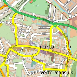
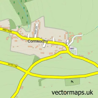
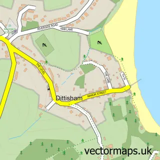
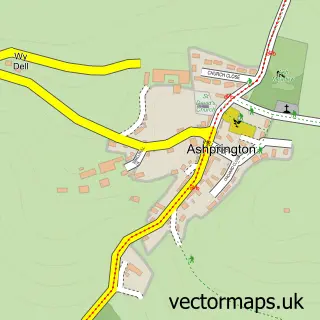
Nearby street map samples around Stoke Gabriel

More street maps in Devon
750 metre map area coverage
Boundary, postcode and point of interest information for the 750m x 750m rectangle centred on this sample map.
Boundaries containing map centre
Constituency: South Devon Co Const
County: Devon County
District: South Hams District
Icb: NHS Devon ICB
Parish: Stoke Gabriel CP
Police Force: devon and cornwall
Postcode District: TQ9
Postcode Sector: TQ9 6
Ward: Dartmouth & East Dart Ward
Nearby boundaries intersecting sample
No additional intersecting boundaries found.
Postcode coverage
POI category counts
Holiday Rental Home: 3
Pub: 3
Anglican Church: 1
Arcade: 1
Art Gallery: 1
Building Contractor: 1
Building Supply Store: 1
Cafe: 1
Canoe And Kayak Hire Service: 1
Casino: 1
Sample points of interest
- St. Mary and St. Gabriel ⛪️, in the Totnes Mission Community
- Paignton Pier Arcades
- River Dart Gallery
- David Cogger
- SMW Roofing
- The River Shack
- Totnes Kayaks Ltd
- William Hill
- St Mary & St Gabriel Church
- Stoke Gabriel Village Hall
- Post Office Travel Money
- Think2read
Create a larger editable map of Stoke Gabriel
This sample shows only a 750 metre area. To create a larger map of Stoke Gabriel, use our map builder to choose your own coverage area, add titles and download editable SVG, PDF and PNG files.
Create a custom map of Stoke Gabriel