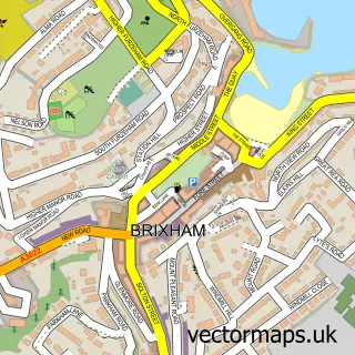
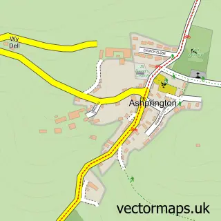
This Churston Ferrers street map is a detailed vector street map covering a 750m x 750m area. Select a larger area to create and download your own vector street map of Churston Ferrers.
The 750-metre map sample for Churston Ferrers covers 86 mapped buildings and approximately 10.9 km of road detail, of which 6 named roads are named. The immediate area includes 1 GP surgery within 2 miles and 5 MOT stations within 2 miles. The wider area around Churston Ferrers features 8 campsites within 2 miles. To create a larger or custom map of Churston Ferrers, the map builder lets you define your own coverage area and download editable SVG, PDF and PNG files.
Create a larger editable map of Churston Ferrers
Choose any area you need and generate a high-quality vector map instantly. Perfect for print, planning, design, business and personal use.

This Churston Ferrers street map in Devon is available as downloadable SVG, PDF and PNG map files, or as a printed map for planning, business, display, education, local information and design work. You can also create a larger custom map area using the map selector.
What this Churston Ferrers map sample shows
Churston Ferrers lies within Torbay (B) parish, part of Churston With Galmpton ward in the Torbay (B) local authority area. The postcode geography for this area includes the TQ postcode area, the TQ5 postcode district and the TQ5 0 postcode sector. Residents fall under the Nhs Devon Integrated Care Board for NHS services.
Local features near Churston Ferrers
Within 2 milesAmenities and services in and around Churston Ferrers.
Administrative and postcode information for Churston Ferrers
Churston Ferrers lies within Torbay (B) parish, part of Churston With Galmpton ward in the Torbay (B) local authority area. The postcode geography for this area includes the TQ postcode area, the TQ5 postcode district and the TQ5 0 postcode sector. Residents fall under the Nhs Devon Integrated Care Board for NHS services.
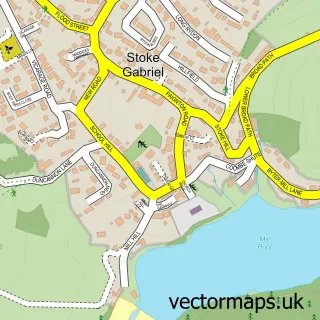
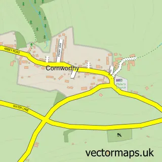
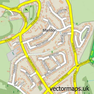
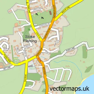
Nearby street map samples around Churston Ferrers

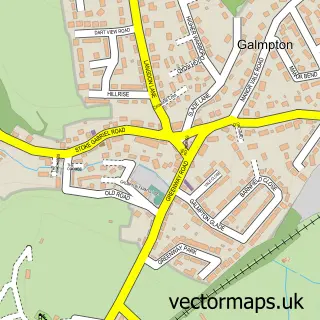
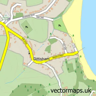
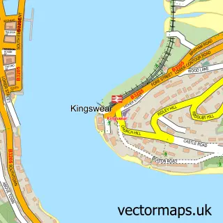
More street maps in Devon
750 metre map area coverage
Boundary, postcode and point of interest information for the 750m x 750m rectangle centred on this sample map.
Boundaries containing map centre
Constituency: South Devon Co Const
District: Torbay (B)
Icb: NHS Devon ICB
Police Force: devon and cornwall
Postcode District: TQ5
Postcode Sector: TQ5 0
Ward: Churston with Galmpton Ward
Nearby boundaries intersecting sample
No additional intersecting boundaries found.
Postcode coverage
POI category counts
Arts And Entertainment: 2
Auto Detailing: 1
Breakfast And Brunch Restaurant: 1
Building Supply Store: 1
Business Management Services: 1
Car Wash: 1
Elementary School: 1
Event Planning: 1
Golf Course: 1
Golf Instructor: 1
Sample points of interest
- Cayman Pitch 'n' Putt
- National Trust Coleton Fishacre
- Churston car valeting
- Carolines Kitchen at Churston Farm Shop
- Whiterock Fencing & Landscaping
- Clean It All Torbay
- Hand car wash
- Orchard Forest School
- Churston Manor Weddings
- Cayman Golf
- Glenn Richards Golf Shop Ltd
- Battlefield Live
Create a larger editable map of Churston Ferrers
This sample shows only a 750 metre area. To create a larger map of Churston Ferrers, use our map builder to choose your own coverage area, add titles and download editable SVG, PDF and PNG files.
Create a custom map of Churston Ferrers