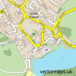
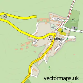
This Brixham street map is a detailed vector street map covering a 750m x 750m area. Select a larger area to create and download your own vector street map of Brixham.
The 750-metre map sample for Brixham covers 461 mapped buildings and approximately 21.9 km of road detail, of which 53 named roads are named. The immediate area includes 1 school, 1 GP surgery, 17 pubs and 2 MOT stations, with 4 within 2 miles. The wider area around Brixham features 10 tourism points of interest, 45 food and drink venues and 19 hotels. To create a larger or custom map of Brixham, the map builder lets you define your own coverage area and download editable SVG, PDF and PNG files.
Create a larger editable map of Brixham
Choose any area you need and generate a high-quality vector map instantly. Perfect for print, planning, design, business and personal use.

This Brixham street map in Devon is available as downloadable SVG, PDF and PNG map files, or as a printed map for planning, business, display, education, local information and design work. You can also create a larger custom map area using the map selector.
What this Brixham map sample shows
Brixham lies within Brixham Cp parish, part of St Peter's With St Mary's ward in the Torbay (B) local authority area. The postcode geography for this area includes the TQ postcode area, the TQ5 postcode district and the TQ5 9 postcode sector. Residents fall under the Nhs Devon Integrated Care Board for NHS services.
Local features near Brixham
Within 2 milesAmenities and services in and around Brixham.
Administrative and postcode information for Brixham
The local authority covering Brixham is Torbay (B), within the county of Devon. The settlement lies within St Peter's With St Mary's ward and Brixham Cp civil parish. The TQ5 postcode district and TQ5 9 postcode sector serve the immediate area. NHS provision in the area is delivered through Torbay And South Devon Nhs Foundation Trust.
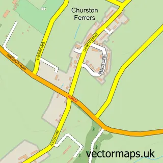
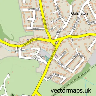
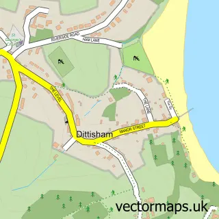
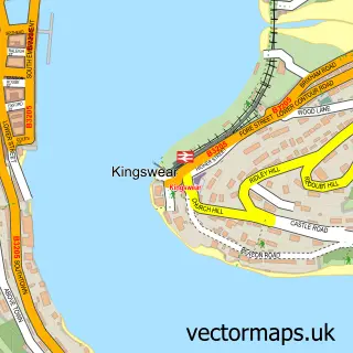
Nearby street map samples around Brixham

More street maps in Devon
750 metre map area coverage
Boundary, postcode and point of interest information for the 750m x 750m rectangle centred on this sample map.
Boundaries containing map centre
Constituency: South Devon Co Const
District: Torbay (B)
Icb: NHS Devon ICB
Parish: Brixham CP
Police Force: devon and cornwall
Postcode District: TQ5
Postcode Sector: TQ5 8
Ward: St. Peter's with St. Mary's Ward
Nearby boundaries intersecting sample
Constituency: Torbay Boro Const
Postcode Sector: TQ5 9
Ward: Furzeham with Summercombe Ward, Wellswood Ward
Postcode coverage
POI category counts
Hotel: 19
Pub: 17
Flowers And Gifts Shop: 16
Holiday Rental Home: 16
Clothing Store: 14
Cafe: 13
Bed And Breakfast: 10
Restaurant: 8
Charity Organization: 7
Coffee Shop: 7
Sample points of interest
- ASP Accounting
- I A W Accountancy Services
- All Saints Brixham
- All Saints Church
- Animals in Distress
- Decades Past
- Rosie's of Brixham
- Rspca Charity Shop
- Carousel Amusements
- Mta Architects
- Stan Bolt Architect
- Devon Driftwood Designs
Create a larger editable map of Brixham
This sample shows only a 750 metre area. To create a larger map of Brixham, use our map builder to choose your own coverage area, add titles and download editable SVG, PDF and PNG files.
Create a custom map of Brixham