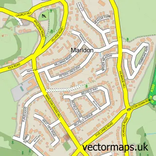
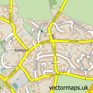
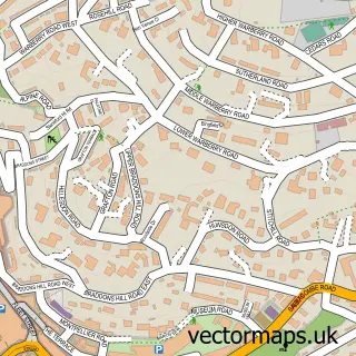
This Paignton street map is a detailed vector street map covering a 750m x 750m area. Select a larger area to create and download your own vector street map of Paignton.
The 750-metre map sample for Paignton covers 253 mapped buildings and approximately 21.0 km of road detail, of which 43 named roads are named. The immediate area includes 1 school, 2 railway stations, 5 GP surgeries within 2 miles and 17 pubs among other local services. The wider area around Paignton features 8 tourism points of interest, 50 food and drink venues and 28 hotels. To create a larger or custom map of Paignton, the map builder lets you define your own coverage area and download editable SVG, PDF and PNG files.
Create a larger editable map of Paignton
Choose any area you need and generate a high-quality vector map instantly. Perfect for print, planning, design, business and personal use.

This Paignton street map in Devon is available as downloadable SVG, PDF and PNG map files, or as a printed map for planning, business, display, education, local information and design work. You can also create a larger custom map area using the map selector.
What this Paignton map sample shows
Paignton lies within Torbay (B) parish, part of Roundham With Hyde ward in the Torbay (B) local authority area. The postcode geography for this area includes the TQ postcode area, the TQ4 postcode district and the TQ4 6 postcode sector. Residents fall under the Nhs Devon Integrated Care Board for NHS services.
Local features near Paignton
Within 2 milesAmenities and services in and around Paignton.
Administrative and postcode information for Paignton
Paignton lies within Torbay (B) parish, part of Roundham With Hyde ward in the Torbay (B) local authority area. The postcode geography for this area includes the TQ postcode area, the TQ4 postcode district and the TQ4 6 postcode sector. Residents fall under the Nhs Devon Integrated Care Board for NHS services.
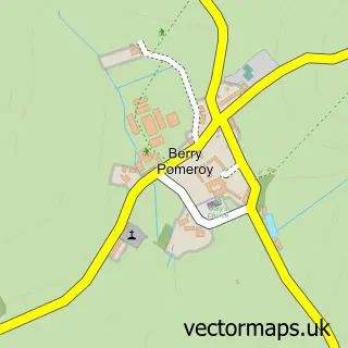
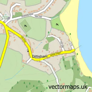
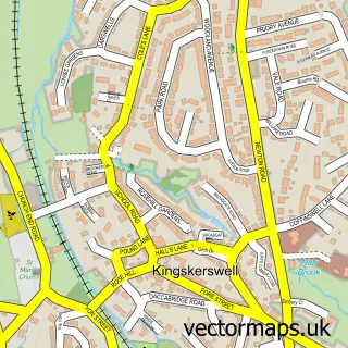
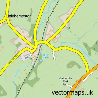
Nearby street map samples around Paignton

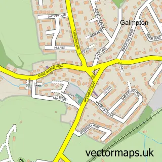
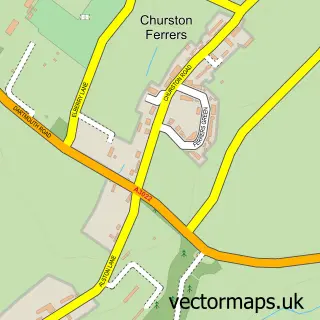
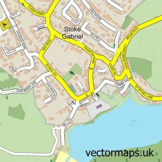
More street maps in Devon
750 metre map area coverage
Boundary, postcode and point of interest information for the 750m x 750m rectangle centred on this sample map.
Boundaries containing map centre
Constituency: Torbay Boro Const
District: Torbay (B)
Icb: NHS Devon ICB
Police Force: devon and cornwall
Postcode District: TQ4
Postcode Sector: TQ4 6
Ward: Roundham with Hyde Ward
Nearby boundaries intersecting sample
Postcode District: TQ3
Postcode Sector: TQ3 2, TQ3 3, TQ4 5
Ward: Clifton with Maidenway Ward, Preston Ward
Postcode coverage
POI category counts
Bed And Breakfast: 34
Hotel: 28
Pub: 17
Beauty Salon: 15
Cafe: 15
Clothing Store: 14
Real Estate Agent: 12
Coffee Shop: 11
Hair Salon: 11
Bar: 10
Sample points of interest
- Accounting 4 Everything
- IAW Accountancy Services
- Revell Accounting
- Torbay Accounting & Consultancy
- English Riviera Bike Night CIC
- Darren Stoyle Acupuncture
- The Devon Allergy Clinic
- Chris Fleet Hypnotherapy
- The Devon Clinic C.I.C.
- Cashino Gaming
- Enterprise Amusements
- The Regency Palace
Create a larger editable map of Paignton
This sample shows only a 750 metre area. To create a larger map of Paignton, use our map builder to choose your own coverage area, add titles and download editable SVG, PDF and PNG files.
Create a custom map of Paignton