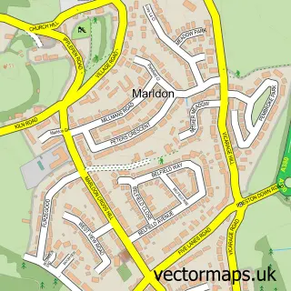
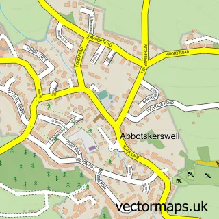
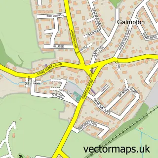
This Torquay street map is a detailed vector street map covering a 750m x 750m area. Select a larger area to create and download your own vector street map of Torquay.
The 750-metre map sample for Torquay covers 353 mapped buildings and approximately 22.5 km of road detail, of which 39 named roads are named. The immediate area includes 1 school, 5 GP surgeries within 2 miles, 3 pubs and 22 MOT stations within 2 miles. The wider area around Torquay features 1 tourism point of interest, 17 food and drink venues and 17 hotels. To create a larger or custom map of Torquay, the map builder lets you define your own coverage area and download editable SVG, PDF and PNG files.
Create a larger editable map of Torquay
Choose any area you need and generate a high-quality vector map instantly. Perfect for print, planning, design, business and personal use.

This Torquay street map in Devon is available as downloadable SVG, PDF and PNG map files, or as a printed map for planning, business, display, education, local information and design work. You can also create a larger custom map area using the map selector.
What this Torquay map sample shows
Torquay lies within Torbay (B) parish, part of Tormohun ward in the Torbay (B) local authority area. The postcode geography for this area includes the TQ postcode area, the TQ1 postcode district and the TQ1 2 postcode sector. Residents fall under the Nhs Devon Integrated Care Board for NHS services.
Local features near Torquay
Within 2 milesAmenities and services in and around Torquay.
Administrative and postcode information for Torquay
The local authority covering Torquay is Torbay (B), within the county of Devon. The settlement lies within Tormohun ward and Torbay (B) civil parish. The TQ1 postcode district and TQ1 2 postcode sector serve the immediate area. NHS services are coordinated through the Nhs Devon Integrated Care Board.
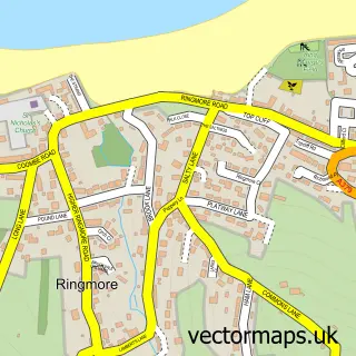
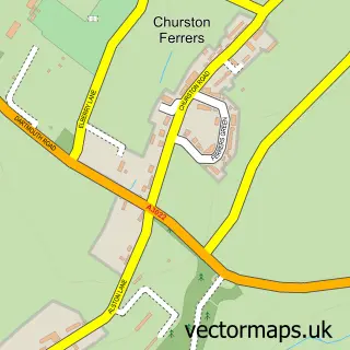
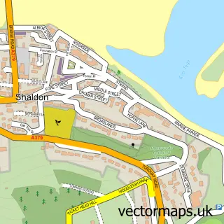
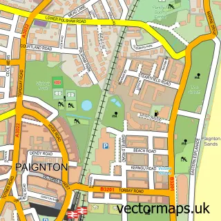
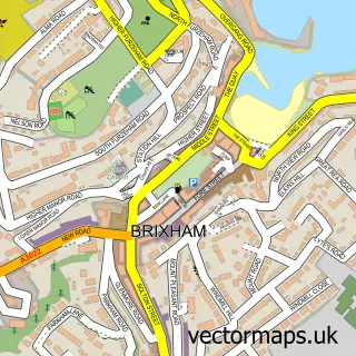
Nearby street map samples around Torquay

More street maps in Devon
750 metre map area coverage
Boundary, postcode and point of interest information for the 750m x 750m rectangle centred on this sample map.
Boundaries containing map centre
Constituency: Torbay Boro Const
District: Torbay (B)
Icb: NHS Devon ICB
Police Force: devon and cornwall
Postcode District: TQ1
Postcode Sector: TQ1 1
Ward: Wellswood Ward
Nearby boundaries intersecting sample
Postcode District: TQ2
Postcode Sector: TQ1 2, TQ1 3, TQ2 5
Ward: Ellacombe Ward, Tormohun Ward
Postcode coverage
POI category counts
Hotel: 17
Bed And Breakfast: 8
Restaurant: 8
Bar: 6
Clothing Store: 6
Coffee Shop: 5
Professional Services: 5
Bakery: 4
Flowers And Gifts Shop: 4
Jewelry Store: 4
Sample points of interest
- Notts Hill House
- AIMS Accountants for Business
- Abacus Accounting Services
- Bishop Fleming Ltd.
- Oscar Research
- RHWebDesigns
- St John the Apostle
- Torbay Antique Stamp Dealers & Collectables Torquay
- Charles Blake Associates Architecture
- Artizan Collective
- Wedding Pianist
- Riviera Court
Create a larger editable map of Torquay
This sample shows only a 750 metre area. To create a larger map of Torquay, use our map builder to choose your own coverage area, add titles and download editable SVG, PDF and PNG files.
Create a custom map of Torquay