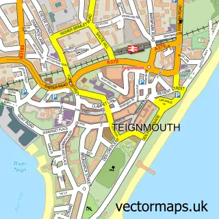
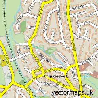
This Shaldon street map is a detailed vector street map covering a 750m x 750m area. Select a larger area to create and download your own vector street map of Shaldon.
The 750-metre map sample for Shaldon covers 216 mapped buildings and approximately 15.5 km of road detail, of which 27 named roads are named. The immediate area includes 1 school, 1 GP surgery within 2 miles, 5 pubs and 1 MOT station, with 6 within 2 miles. The wider area around Shaldon features 1 tourism point of interest, 12 food and drink venues and 3 hotels. To create a larger or custom map of Shaldon, the map builder lets you define your own coverage area and download editable SVG, PDF and PNG files.
Create a larger editable map of Shaldon
Choose any area you need and generate a high-quality vector map instantly. Perfect for print, planning, design, business and personal use.

This Shaldon street map in Devon is available as downloadable SVG, PDF and PNG map files, or as a printed map for planning, business, display, education, local information and design work. You can also create a larger custom map area using the map selector.
What this Shaldon map sample shows
Shaldon lies within Shaldon Cp parish, part of Shaldon & Stokeinteignhead ward in the Teignbridge District local authority area. The postcode geography for this area includes the TQ postcode area, the TQ14 postcode district and the TQ14 0 postcode sector. Residents fall under the Nhs Devon Integrated Care Board for NHS services.
Local features near Shaldon
Within 2 milesAmenities and services in and around Shaldon.
Administrative and postcode information for Shaldon
Shaldon lies within Shaldon Cp parish, part of Shaldon & Stokeinteignhead ward in the Teignbridge District local authority area. The postcode geography for this area includes the TQ postcode area, the TQ14 postcode district and the TQ14 0 postcode sector. Residents fall under the Nhs Devon Integrated Care Board for NHS services.
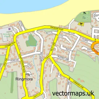
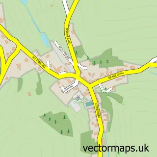
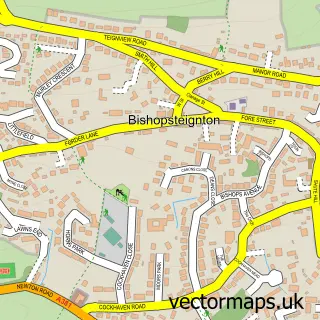
Nearby street map samples around Shaldon

More street maps in Devon
750 metre map area coverage
Boundary, postcode and point of interest information for the 750m x 750m rectangle centred on this sample map.
Boundaries containing map centre
Constituency: Newton Abbot Co Const
County: Devon County
District: Teignbridge District
Icb: NHS Devon ICB
Parish: Shaldon CP
Police Force: devon and cornwall
Postcode District: TQ14
Postcode Sector: TQ14 0
Ward: Shaldon & Stokeinteignhead Ward
Nearby boundaries intersecting sample
Parish: Teignmouth CP
Postcode Sector: TQ14 8
Ward: Teignmouth East Ward
Postcode coverage
POI category counts
Cafe: 5
Pub: 5
Holiday Rental Home: 4
Convenience Store: 3
Hotel: 3
Church Cathedral: 2
Coffee Shop: 2
Doctor: 2
Flowers And Gifts Shop: 2
Hair Salon: 2
Sample points of interest
- Spotty Dog Digital Marketing
- St Peter the Apostle, Shaldon
- Ocean Blue Art Studio
- Woodys Motor Works
- Shaldon Bakery
- Shaldon Beach
- The Beauty Hut
- The Clipper Holiday Flats
- Shaldon Botanical Gardens
- Pearlie Queen Boutique
- Shaldon Wildlife Trust
- Chrysalis Care Innovations
Create a larger editable map of Shaldon
This sample shows only a 750 metre area. To create a larger map of Shaldon, use our map builder to choose your own coverage area, add titles and download editable SVG, PDF and PNG files.
Create a custom map of Shaldon