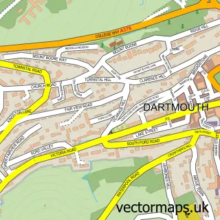
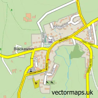
This Kingswear street map is a detailed vector street map covering a 750m x 750m area. Select a larger area to create and download your own vector street map of Kingswear.
The 750-metre map sample for Kingswear covers 200 mapped buildings and approximately 14.0 km of road detail, of which 31 named roads are named. The immediate area includes 1 railway station, 1 GP surgery within 2 miles, 7 pubs and 2 MOT stations within 2 miles. The wider area around Kingswear features 3 tourism points of interest, 19 food and drink venues and 5 hotels. To create a larger or custom map of Kingswear, the map builder lets you define your own coverage area and download editable SVG, PDF and PNG files.
Create a larger editable map of Kingswear
Choose any area you need and generate a high-quality vector map instantly. Perfect for print, planning, design, business and personal use.

This Kingswear street map in Devon is available as downloadable SVG, PDF and PNG map files, or as a printed map for planning, business, display, education, local information and design work. You can also create a larger custom map area using the map selector.
What this Kingswear map sample shows
Kingswear lies within Dartmouth Cp parish, part of Dartmouth & East Dart ward in the South Hams District local authority area. The postcode geography for this area includes the TQ postcode area, the TQ6 postcode district and the TQ6 9 postcode sector. Residents fall under the Nhs Devon Integrated Care Board for NHS services.
Local features near Kingswear
Within 2 milesAmenities and services in and around Kingswear.
Administrative and postcode information for Kingswear
Kingswear lies within Dartmouth Cp parish, part of Dartmouth & East Dart ward in the South Hams District local authority area. The postcode geography for this area includes the TQ postcode area, the TQ6 postcode district and the TQ6 9 postcode sector. Residents fall under the Nhs Devon Integrated Care Board for NHS services.
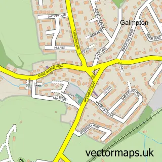
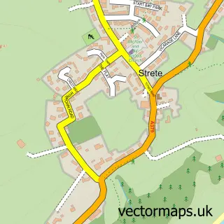
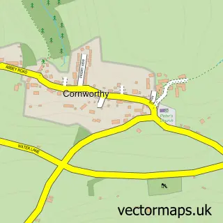
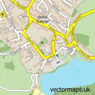
Nearby street map samples around Kingswear

More street maps in Devon
750 metre map area coverage
Boundary, postcode and point of interest information for the 750m x 750m rectangle centred on this sample map.
Boundaries containing map centre
Constituency: South Devon Co Const
Police Force: devon and cornwall
Postcode District: TQ6
Postcode Sector: TQ6 0
Nearby boundaries intersecting sample
County: Devon County
District: South Hams District
Icb: NHS Devon ICB
Parish: Dartmouth CP, Kingswear CP
Postcode Sector: TQ6 9
Ward: Dartmouth & East Dart Ward
Postcode coverage
POI category counts
Cafe: 7
Ferry Boat Company: 7
Pub: 7
Train Station: 6
Clothing Store: 5
Hotel: 5
Art Gallery: 4
Flowers And Gifts Shop: 4
Marina: 4
Real Estate Agent: 4
Sample points of interest
- The Old Library
- Church of St Thomas of Canterbury
- St Thomas of Canterbury
- Bonds Nautical Antiques
- Lalique & Collectables
- Bert & Buoy
- Dart Gallery
- Paul Barclay Designs
- White Sails Gallery
- The Fizz Boat
- The Cooperative Food Dartmouth - Fairfax Place
- Francis Stone
Create a larger editable map of Kingswear
This sample shows only a 750 metre area. To create a larger map of Kingswear, use our map builder to choose your own coverage area, add titles and download editable SVG, PDF and PNG files.
Create a custom map of Kingswear