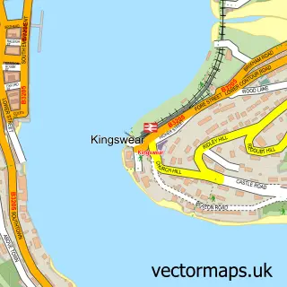
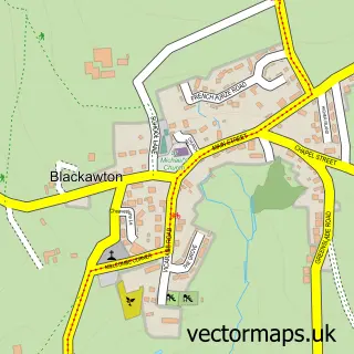
This Dartmouth street map is a detailed vector street map covering a 750m x 750m area. Select a larger area to create and download your own vector street map of Dartmouth.
The 750-metre map sample for Dartmouth covers 397 mapped buildings and approximately 24.5 km of road detail, of which 53 named roads are named. The immediate area includes 1 GP surgery within 2 miles, 6 pubs and 2 MOT stations within 2 miles. The wider area around Dartmouth features 6 tourism points of interest, 18 food and drink venues and 14 hotels. To create a larger or custom map of Dartmouth, the map builder lets you define your own coverage area and download editable SVG, PDF and PNG files.
Create a larger editable map of Dartmouth
Choose any area you need and generate a high-quality vector map instantly. Perfect for print, planning, design, business and personal use.

This Dartmouth street map in Devon is available as downloadable SVG, PDF and PNG map files, or as a printed map for planning, business, display, education, local information and design work. You can also create a larger custom map area using the map selector.
What this Dartmouth map sample shows
Dartmouth lies within Dartmouth Cp parish, part of Dartmouth & East Dart ward in the South Hams District local authority area. The postcode geography for this area includes the TQ postcode area, the TQ6 postcode district and the TQ6 9 postcode sector. Residents fall under the Nhs Devon Integrated Care Board for NHS services.
Local features near Dartmouth
Within 2 milesAmenities and services in and around Dartmouth.
Administrative and postcode information for Dartmouth
The local authority covering Dartmouth is South Hams District, within the county of Devon. The settlement lies within Dartmouth & East Dart ward and Dartmouth Cp civil parish. The TQ6 postcode district and TQ6 9 postcode sector serve the immediate area. NHS provision in the area is delivered through Torbay And South Devon Nhs Foundation Trust.
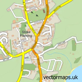
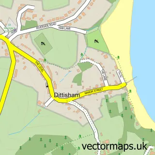
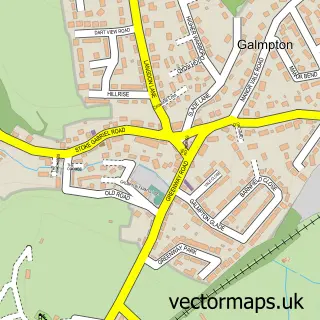
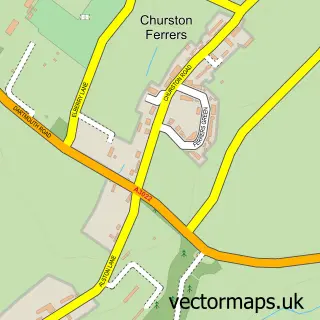
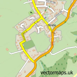
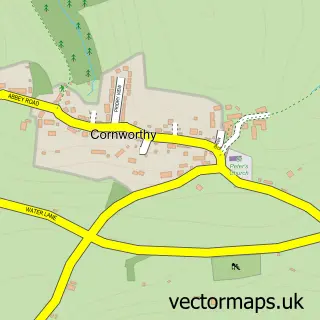
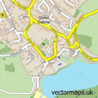
Nearby street map samples around Dartmouth

More street maps in Devon
750 metre map area coverage
Boundary, postcode and point of interest information for the 750m x 750m rectangle centred on this sample map.
Boundaries containing map centre
Constituency: South Devon Co Const
County: Devon County
District: South Hams District
Icb: NHS Devon ICB
Parish: Dartmouth CP
Police Force: devon and cornwall
Postcode District: TQ6
Postcode Sector: TQ6 9
Ward: Dartmouth & East Dart Ward
Nearby boundaries intersecting sample
Postcode Sector: TQ6 0
Postcode coverage
POI category counts
Bed And Breakfast: 16
Hotel: 14
Holiday Rental Home: 12
Retail: 8
Art Gallery: 7
Professional Services: 7
Cafe: 6
Pub: 6
Real Estate: 6
Banks: 5
Sample points of interest
- Lily Lodge
- M G Associates
- Dartmouth Yacht Brokers
- depledgeMEDIA
- Dartmouth Ambulance Station
- The Benefice of Dartmouth & Dittisham
- Country Hill Animal Shelter
- M & H Antiques
- Number Five
- Qube Design Ltd.
- BBH Chartered Architects Ltd
- Andras Kaldor Gallery
Create a larger editable map of Dartmouth
This sample shows only a 750 metre area. To create a larger map of Dartmouth, use our map builder to choose your own coverage area, add titles and download editable SVG, PDF and PNG files.
Create a custom map of Dartmouth