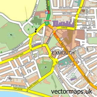
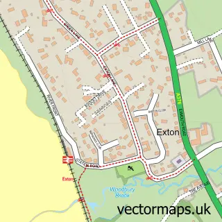
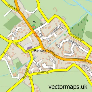
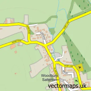
This Lympstone street map is a detailed vector street map covering a 750m x 750m area. Select a larger area to create and download your own vector street map of Lympstone.
The 750-metre map sample for Lympstone covers 387 mapped buildings and approximately 13.4 km of road detail, of which 25 named roads are named. The immediate area includes 1 school, 2 pubs and 5 MOT stations within 2 miles. The wider area around Lympstone features 2 food and drink venues. To create a larger or custom map of Lympstone, the map builder lets you define your own coverage area and download editable SVG, PDF and PNG files.
Create a larger editable map of Lympstone
Choose any area you need and generate a high-quality vector map instantly. Perfect for print, planning, design, business and personal use.

This Lympstone street map in Devon is available as downloadable SVG, PDF and PNG map files, or as a printed map for planning, business, display, education, local information and design work. You can also create a larger custom map area using the map selector.
What this Lympstone map sample shows
Lympstone lies within Lympstone Cp parish, part of Woodbury & Lympstone ward in the East Devon District local authority area. The postcode geography for this area includes the EX postcode area, the EX8 postcode district and the EX8 5 postcode sector. Residents fall under the Nhs Devon Integrated Care Board for NHS services.
Local features near Lympstone
Within 2 milesAmenities and services in and around Lympstone.
Administrative and postcode information for Lympstone
Lympstone lies within Lympstone Cp parish, part of Woodbury & Lympstone ward in the East Devon District local authority area. The postcode geography for this area includes the EX postcode area, the EX8 postcode district and the EX8 5 postcode sector. Residents fall under the Nhs Devon Integrated Care Board for NHS services.
Nearby street map samples around Lympstone

More street maps in Devon
750 metre map area coverage
Boundary, postcode and point of interest information for the 750m x 750m rectangle centred on this sample map.
Boundaries containing map centre
Constituency: Exmouth and Exeter East Co Const
County: Devon County
District: East Devon District
Icb: NHS Devon ICB
Parish: Lympstone CP
Police Force: devon and cornwall
Postcode District: EX8
Postcode Sector: EX8 5
Ward: Woodbury & Lympstone Ward
Nearby boundaries intersecting sample
Parish: Woodbury CP
Postcode coverage
POI category counts
Church Cathedral: 2
Martial Arts Club: 2
Pub: 2
Active Life: 1
Anglican Church: 1
Armed Forces Branch: 1
Building Supply Store: 1
Caterer: 1
Computer Coaching: 1
Convenience Store: 1
Sample points of interest
- Lympstone Tennis Club
- Nativity of Blessed Virgin Mary
- CTC Royal Marines
- D.F.K. Business Interiors
- Food With Flair
- Lympstone Parish Church
- Riverside Church Exmouth
- J P Services
- Central
- Underhill Surgery
- J P Services (Photographic)
- Lympstone Church of England Primary School
Create a larger editable map of Lympstone
This sample shows only a 750 metre area. To create a larger map of Lympstone, use our map builder to choose your own coverage area, add titles and download editable SVG, PDF and PNG files.
Create a custom map of Lympstone