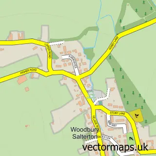
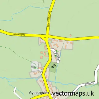
This Woodbury street map is a detailed vector street map covering a 750m x 750m area. Select a larger area to create and download your own vector street map of Woodbury.
The 750-metre map sample for Woodbury covers 354 mapped buildings and approximately 16.2 km of road detail, of which 25 named roads are named. The immediate area includes 1 school, 1 GP surgery, 3 pubs and 1 MOT station within 2 miles. The wider area around Woodbury features 3 food and drink venues and 2 campsites within 2 miles. To create a larger or custom map of Woodbury, the map builder lets you define your own coverage area and download editable SVG, PDF and PNG files.
Create a larger editable map of Woodbury
Choose any area you need and generate a high-quality vector map instantly. Perfect for print, planning, design, business and personal use.

This Woodbury street map in Devon is available as downloadable SVG, PDF and PNG map files, or as a printed map for planning, business, display, education, local information and design work. You can also create a larger custom map area using the map selector.
What this Woodbury map sample shows
Woodbury lies within Woodbury Cp parish, part of Woodbury & Lympstone ward in the East Devon District local authority area. The postcode geography for this area includes the EX postcode area, the EX5 postcode district and the EX5 1 postcode sector. Residents fall under the Nhs Devon Integrated Care Board for NHS services.
Local features near Woodbury
Within 2 milesAmenities and services in and around Woodbury.
Administrative and postcode information for Woodbury
The local authority covering Woodbury is East Devon District, within the county of Devon. The settlement lies within Woodbury & Lympstone ward and Woodbury Cp civil parish. The EX5 postcode district and EX5 1 postcode sector serve the immediate area. NHS provision in the area is delivered through Royal Devon University Healthcare Nhs Foundation Trust.
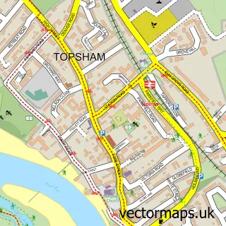
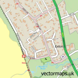
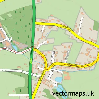
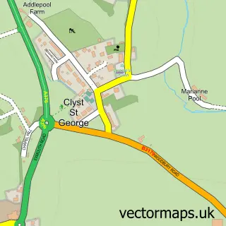
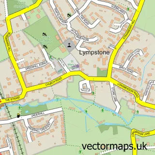
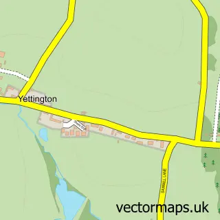
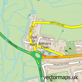
Nearby street map samples around Woodbury

More street maps in Devon
750 metre map area coverage
Boundary, postcode and point of interest information for the 750m x 750m rectangle centred on this sample map.
Boundaries containing map centre
Constituency: Exmouth and Exeter East Co Const
County: Devon County
District: East Devon District
Icb: NHS Devon ICB
Parish: Woodbury CP
Police Force: devon and cornwall
Postcode District: EX5
Postcode Sector: EX5 1
Ward: Woodbury & Lympstone Ward
Nearby boundaries intersecting sample
No additional intersecting boundaries found.
Postcode coverage
POI category counts
Pub: 3
Business Consulting: 2
Church Cathedral: 2
Community Center: 2
Doctor: 2
Antique Store: 1
Art Gallery: 1
Arts And Entertainment: 1
Automotive Parts And Accessories: 1
Automotive Repair: 1
Sample points of interest
- Rook Pie
- Tim Andrews Gallery
- The Creation Station Ltd
- Woodbury Car Breakers
- Woodbury Garage
- Alexandrite Aesthetics
- Dartmoor Tree Surgeons
- Helado
- The Exeter Group
- The Sticks and Stones Company
- Christ Church Woodbury
- St Swithun's Church
Create a larger editable map of Woodbury
This sample shows only a 750 metre area. To create a larger map of Woodbury, use our map builder to choose your own coverage area, add titles and download editable SVG, PDF and PNG files.
Create a custom map of Woodbury