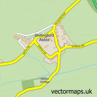
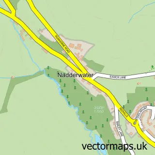
This Shillingford St George street map is a detailed vector street map covering a 750m x 750m area. Select a larger area to create and download your own vector street map of Shillingford St George.
The 750-metre map sample for Shillingford St George covers 108 mapped buildings and approximately 11.3 km of road detail, of which 4 named roads are named. The immediate area includes 1 GP surgery within 2 miles and 12 MOT stations within 2 miles. To create a larger or custom map of Shillingford St George, the map builder lets you define your own coverage area and download editable SVG, PDF and PNG files.
Create a larger editable map of Shillingford St George
Choose any area you need and generate a high-quality vector map instantly. Perfect for print, planning, design, business and personal use.

This Shillingford St George street map in Devon is available as downloadable SVG, PDF and PNG map files, or as a printed map for planning, business, display, education, local information and design work. You can also create a larger custom map area using the map selector.
What this Shillingford St George map sample shows
Shillingford St George lies within Shillingford St. George Cp parish, part of Kenn Valley ward in the Teignbridge District local authority area. The postcode geography for this area includes the EX postcode area, the EX2 postcode district and the EX2 9 postcode sector. Residents fall under the Nhs Devon Integrated Care Board for NHS services.
Local features near Shillingford St George
Within 2 milesAmenities and services in and around Shillingford St George.
Administrative and postcode information for Shillingford St George
Shillingford St George lies within Shillingford St. George Cp parish, part of Kenn Valley ward in the Teignbridge District local authority area. The postcode geography for this area includes the EX postcode area, the EX2 postcode district and the EX2 9 postcode sector. Residents fall under the Nhs Devon Integrated Care Board for NHS services.
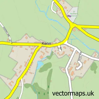
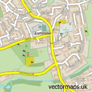
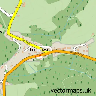
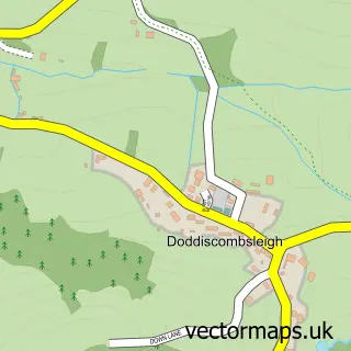
Nearby street map samples around Shillingford St George

More street maps in Devon
750 metre map area coverage
Boundary, postcode and point of interest information for the 750m x 750m rectangle centred on this sample map.
Boundaries containing map centre
Constituency: Central Devon Co Const
County: Devon County
District: Teignbridge District
Icb: NHS Devon ICB
Parish: Shillingford St. George CP
Police Force: devon and cornwall
Postcode District: EX2
Postcode Sector: EX2 9
Ward: Kenn Valley Ward
Nearby boundaries intersecting sample
No additional intersecting boundaries found.
Postcode coverage
POI category counts
Anglican Church: 1
Bed And Breakfast: 1
Buddhist Temple: 1
Cupcake Shop: 1
Driving School: 1
Land Surveying: 1
Language School: 1
Nursery And Gardening: 1
Pet Boarding: 1
Sample points of interest
- St George's Church, Shillingford
- South View Farm B&B
- Dragon Bell Temple
- Crafty Cakes
- Taylor Made Driving
- Mark Dyson Chartered Surveyors
- Hylton Mandarin Academy
- Boyces Retail Nursery Fruit Farm and Vineyard
- South View Lodges
Create a larger editable map of Shillingford St George
This sample shows only a 750 metre area. To create a larger map of Shillingford St George, use our map builder to choose your own coverage area, add titles and download editable SVG, PDF and PNG files.
Create a custom map of Shillingford St George