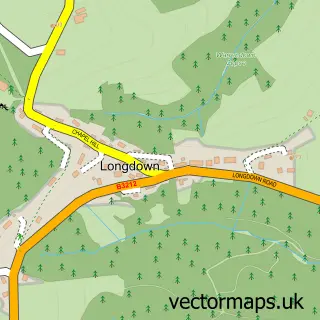
This Ide street map is a detailed vector street map covering a 750m x 750m area. Select a larger area to create and download your own vector street map of Ide.
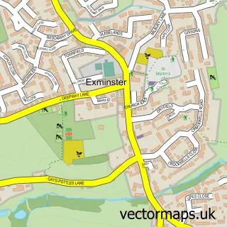
The 750-metre map sample for Ide covers 149 mapped buildings and approximately 28.5 km of road detail, of which 17 named roads are named. The immediate area includes 1 school, 5 GP surgeries within 2 miles, 4 pubs and 31 MOT stations within 2 miles. The wider area around Ide features 4 food and drink venues and 1 campsite within 2 miles. To create a larger or custom map of Ide, the map builder lets you define your own coverage area and download editable SVG, PDF and PNG files.
Create a larger editable map of Ide
Choose any area you need and generate a high-quality vector map instantly. Perfect for print, planning, design, business and personal use.

This Ide street map in Devon is available as downloadable SVG, PDF and PNG map files, or as a printed map for planning, business, display, education, local information and design work. You can also create a larger custom map area using the map selector.
What this Ide map sample shows
Ide lies within Ide Cp parish, part of Kenn Valley ward in the Teignbridge District local authority area. The postcode geography for this area includes the EX postcode area, the EX2 postcode district and the EX2 9 postcode sector. Residents fall under the Nhs Devon Integrated Care Board for NHS services.
Local features near Ide
Within 2 milesAmenities and services in and around Ide.
Administrative and postcode information for Ide
The local authority covering Ide is Teignbridge District, within the county of Devon. The settlement lies within Kenn Valley ward and Ide Cp civil parish. The EX2 postcode district and EX2 9 postcode sector serve the immediate area. NHS provision in the area is delivered through Royal Devon University Healthcare Nhs Foundation Trust.
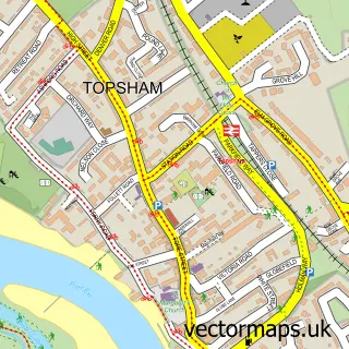
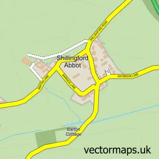
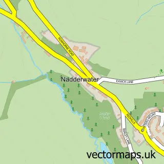
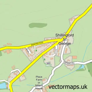
Nearby street map samples around Ide

More street maps in Devon
750 metre map area coverage
Boundary, postcode and point of interest information for the 750m x 750m rectangle centred on this sample map.
Boundaries containing map centre
Constituency: Central Devon Co Const
County: Devon County
District: Teignbridge District
Icb: NHS Devon ICB
Parish: Ide CP
Police Force: devon and cornwall
Postcode District: EX2
Postcode Sector: EX2 9
Ward: Kenn Valley Ward
Nearby boundaries intersecting sample
Constituency: Exeter Boro Const
District: Exeter District (B)
Ward: Alphington Ward
Postcode coverage
POI category counts
Pub: 4
Professional Services: 3
Clothing Store: 2
Elementary School: 2
Land Surveying: 2
Shipping Center: 2
Bed And Breakfast: 1
Building Supply Store: 1
Business To Business: 1
Chimney Sweep: 1
Sample points of interest
- Barn House Bed & Breakfast
- DESIGNER GARDENS
- Classic Groundworks Ltd.
- Mr Chimley's Chimney Sweeping
- St. Ida's Church
- Jaeger
- Oasis Stores
- Ide Community Orchard
- Ide Community Shop & Post Office
- House of Fraser Exeter
- Ide Childcare Trust
- Ide Primary School
Create a larger editable map of Ide
This sample shows only a 750 metre area. To create a larger map of Ide, use our map builder to choose your own coverage area, add titles and download editable SVG, PDF and PNG files.
Create a custom map of Ide