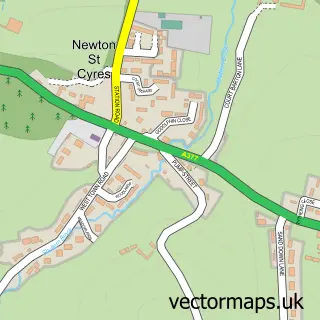
This Nadderwater street map is a detailed vector street map covering a 750m x 750m area. Select a larger area to create and download your own vector street map of Nadderwater.
The 750-metre map sample for Nadderwater covers 80 mapped buildings and approximately 12.1 km of road detail, of which 7 named roads are named. The immediate area includes 5 GP surgeries within 2 miles, 1 pub and 9 MOT stations within 2 miles. The wider area around Nadderwater features 1 food and drink venue and 1 campsite within 2 miles. To create a larger or custom map of Nadderwater, the map builder lets you define your own coverage area and download editable SVG, PDF and PNG files.
Create a larger editable map of Nadderwater
Choose any area you need and generate a high-quality vector map instantly. Perfect for print, planning, design, business and personal use.

This Nadderwater street map in Devon is available as downloadable SVG, PDF and PNG map files, or as a printed map for planning, business, display, education, local information and design work. You can also create a larger custom map area using the map selector.
What this Nadderwater map sample shows
Nadderwater lies within Whitestone Cp parish, part of Kenn Valley ward in the Teignbridge District local authority area. The postcode geography for this area includes the EX postcode area, the EX4 postcode district and the EX4 2 postcode sector. Residents fall under the Nhs Devon Integrated Care Board for NHS services.
Local features near Nadderwater
Within 2 milesAmenities and services in and around Nadderwater.
Administrative and postcode information for Nadderwater
The local authority covering Nadderwater is Teignbridge District, within the county of Devon. The settlement lies within Kenn Valley ward and Whitestone Cp civil parish. The EX4 postcode district and EX4 2 postcode sector serve the immediate area. NHS provision in the area is delivered through Royal Devon University Healthcare Nhs Foundation Trust.
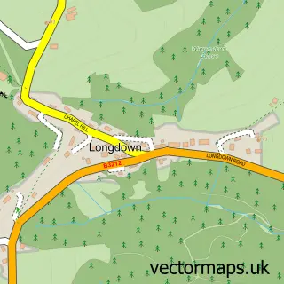
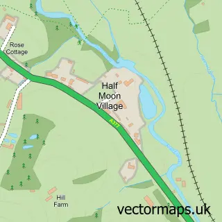
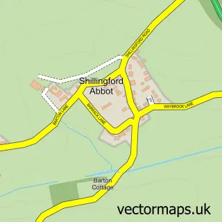
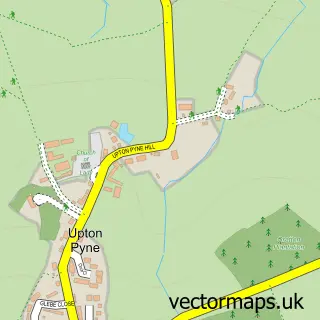
Nearby street map samples around Nadderwater
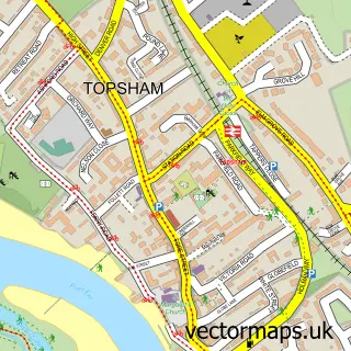

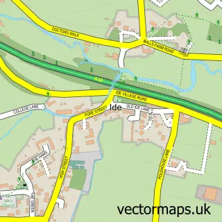
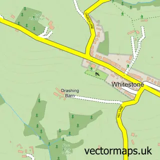
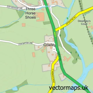
More street maps in Devon
750 metre map area coverage
Boundary, postcode and point of interest information for the 750m x 750m rectangle centred on this sample map.
Boundaries containing map centre
Constituency: Exeter Boro Const
County: Devon County
District: Exeter District (B)
Icb: NHS Devon ICB
Parish: Whitestone CP
Police Force: devon and cornwall
Postcode District: EX4
Postcode Sector: EX4 2
Ward: Exwick Ward
Nearby boundaries intersecting sample
Constituency: Central Devon Co Const
District: Teignbridge District
Parish: Holcombe Burnell CP
Postcode Sector: EX4 1
Ward: Kenn Valley Ward
Postcode coverage
POI category counts
Active Life: 1
Alternative Medicine: 1
Auto Loan Provider: 1
Contractor: 1
Financial Advising: 1
Pub: 1
Sample points of interest
- Exeter view stables camping
- Jacqui's Natural Therapies
- Kelly Mortgage Solutions
- Frost Fencing
- Atkins & Atkins
- The Oak Rooms Exeter. Meeting Rooms
Create a larger editable map of Nadderwater
This sample shows only a 750 metre area. To create a larger map of Nadderwater, use our map builder to choose your own coverage area, add titles and download editable SVG, PDF and PNG files.
Create a custom map of Nadderwater