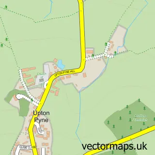
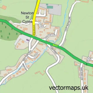
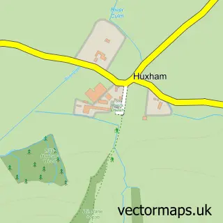
This Cowley street map is a detailed vector street map covering a 750m x 750m area. Select a larger area to create and download your own vector street map of Cowley.
The 750-metre map sample for Cowley covers 66 mapped buildings and approximately 8.8 km of road detail, of which 6 named roads are named. The immediate area includes 1 GP surgery within 2 miles, 1 pub and 4 MOT stations within 2 miles. The wider area around Cowley features 1 tourism point of interest and 1 food and drink venue. To create a larger or custom map of Cowley, the map builder lets you define your own coverage area and download editable SVG, PDF and PNG files.
Create a larger editable map of Cowley
Choose any area you need and generate a high-quality vector map instantly. Perfect for print, planning, design, business and personal use.

This Cowley street map in Devon is available as downloadable SVG, PDF and PNG map files, or as a printed map for planning, business, display, education, local information and design work. You can also create a larger custom map area using the map selector.
What this Cowley map sample shows
Cowley lies within Upton Pyne Cp parish, part of Exe Valley ward in the East Devon District local authority area. The postcode geography for this area includes the EX postcode area, the EX5 postcode district and the EX5 5 postcode sector. Residents fall under the Nhs Devon Integrated Care Board for NHS services.
Local features near Cowley
Within 2 milesAmenities and services in and around Cowley.
Administrative and postcode information for Cowley
Cowley lies within Upton Pyne Cp parish, part of Exe Valley ward in the East Devon District local authority area. The postcode geography for this area includes the EX postcode area, the EX5 postcode district and the EX5 5 postcode sector. Residents fall under the Nhs Devon Integrated Care Board for NHS services.
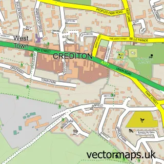
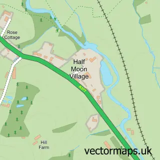
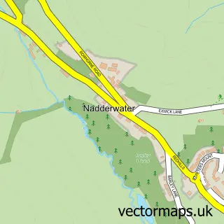
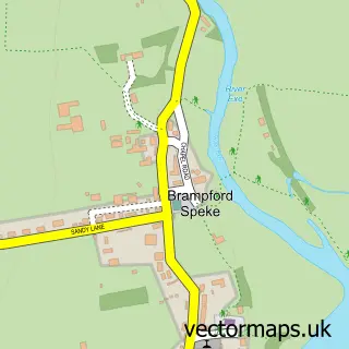
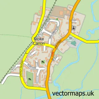
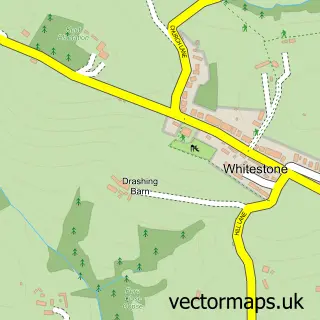
Nearby street map samples around Cowley

More street maps in Devon
750 metre map area coverage
Boundary, postcode and point of interest information for the 750m x 750m rectangle centred on this sample map.
Boundaries containing map centre
Constituency: Exmouth and Exeter East Co Const
County: Devon County
District: East Devon District
Icb: NHS Devon ICB
Parish: Upton Pyne CP
Police Force: devon and cornwall
Postcode District: EX5
Postcode Sector: EX5 5
Ward: Exe Valley Ward
Nearby boundaries intersecting sample
Constituency: Exeter Boro Const
District: Exeter District (B)
Postcode District: EX4
Postcode Sector: EX4 5
Ward: Duryard & St. James Ward
Postcode coverage
POI category counts
Aquarium: 1
Contractor: 1
Day Care Preschool: 1
Florist: 1
Landmark And Historical Building: 1
Nursery And Gardening: 1
Pub: 1
Veterinarian: 1
Sample points of interest
- Bow Aquatic Centre
- Josh Anderson Plastering
- Little Explorers Day Nursery
- Bernaville Nurseries
- Cowley, Devon
- Bernaville Nurseries
- The Stables Cowley Exeter
- Jonathan Wood Veterinary Surgeon
Create a larger editable map of Cowley
This sample shows only a 750 metre area. To create a larger map of Cowley, use our map builder to choose your own coverage area, add titles and download editable SVG, PDF and PNG files.
Create a custom map of Cowley