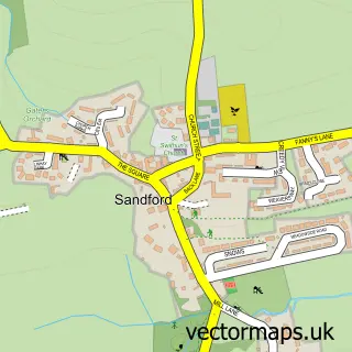
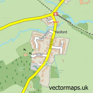
This Crediton street map is a detailed vector street map covering a 750m x 750m area. Select a larger area to create and download your own vector street map of Crediton.
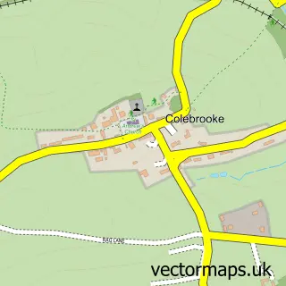
The 750-metre map sample for Crediton covers 369 mapped buildings and approximately 15.5 km of road detail, of which 39 named roads are named. The immediate area includes 1 GP surgery within 2 miles, 9 pubs and 5 MOT stations within 2 miles. The wider area around Crediton features 3 tourism points of interest and 15 food and drink venues. To create a larger or custom map of Crediton, the map builder lets you define your own coverage area and download editable SVG, PDF and PNG files.
Create a larger editable map of Crediton
Choose any area you need and generate a high-quality vector map instantly. Perfect for print, planning, design, business and personal use.

This Crediton street map in Devon is available as downloadable SVG, PDF and PNG map files, or as a printed map for planning, business, display, education, local information and design work. You can also create a larger custom map area using the map selector.
What this Crediton map sample shows
Crediton lies within Crediton Cp parish, part of Boniface ward in the Mid Devon District local authority area. The postcode geography for this area includes the EX postcode area, the EX17 postcode district and the EX17 3 postcode sector. Residents fall under the Nhs Devon Integrated Care Board for NHS services.
Local features near Crediton
Within 2 milesAmenities and services in and around Crediton.
Administrative and postcode information for Crediton
Crediton lies within Crediton Cp parish, part of Boniface ward in the Mid Devon District local authority area. The postcode geography for this area includes the EX postcode area, the EX17 postcode district and the EX17 3 postcode sector. Residents fall under the Nhs Devon Integrated Care Board for NHS services.
Nearby street map samples around Crediton

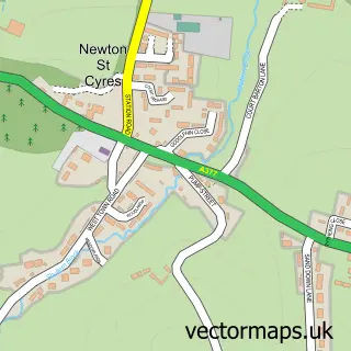
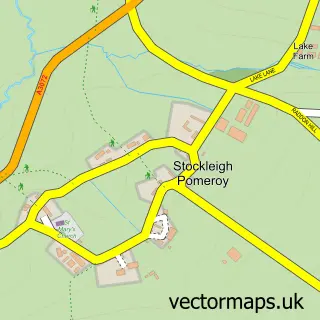
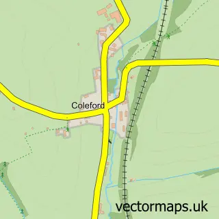
More street maps in Devon
750 metre map area coverage
Boundary, postcode and point of interest information for the 750m x 750m rectangle centred on this sample map.
Boundaries containing map centre
Constituency: Central Devon Co Const
County: Devon County
District: Mid Devon District
Icb: NHS Devon ICB
Parish: Crediton CP
Police Force: devon and cornwall
Postcode District: EX17
Postcode Sector: EX17 3
Ward: Crediton Lawrence Ward
Nearby boundaries intersecting sample
Postcode Sector: EX17 2
Ward: Crediton Boniface Ward
Postcode coverage
POI category counts
Pub: 9
Flowers And Gifts Shop: 8
Beauty Salon: 7
Pet Groomer: 6
Charity Organization: 5
Naturopathic Holistic: 5
Real Estate Agent: 5
Antique Store: 4
Bakery: 4
Banks: 4
Sample points of interest
- Duncan Churchill & Co. Ltd.
- Stapletons
- Johnsland group fishery
- The Golden Butterfly
- AFG Antiques & Collectables
- Harrington Antiques
- James Antiques
- The Exeter Leukaemia Fund
- S P Rowe
- Art plus Frames
- At100
- Land Edge Arts
Create a larger editable map of Crediton
This sample shows only a 750 metre area. To create a larger map of Crediton, use our map builder to choose your own coverage area, add titles and download editable SVG, PDF and PNG files.
Create a custom map of Crediton