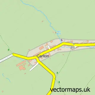
This Redmire street map is a detailed vector street map covering a 750m x 750m area. Select a larger area to create and download your own vector street map of Redmire.
The 750-metre map sample for Redmire covers 138 mapped buildings and approximately 9.0 km of road detail, of which 7 named roads are named. The immediate area includes 1 railway station and 2 pubs. The wider area around Redmire features 2 food and drink venues and 2 campsites within 2 miles. To create a larger or custom map of Redmire, the map builder lets you define your own coverage area and download editable SVG, PDF and PNG files.
Create a larger editable map of Redmire
Choose any area you need and generate a high-quality vector map instantly. Perfect for print, planning, design, business and personal use.

This Redmire street map in North Yorkshire is available as downloadable SVG, PDF and PNG map files, or as a printed map for planning, business, display, education, local information and design work. You can also create a larger custom map area using the map selector.
What this Redmire map sample shows
Redmire lies within Redmire Cp parish, part of Leyburn ward in the North Yorkshire local authority area. The postcode geography for this area includes the DL postcode area, the DL8 postcode district and the DL8 4 postcode sector. Residents fall under the Nhs Humber And North Yorkshire Integrated Care Board for NHS services.
Local features near Redmire
Within 2 milesAmenities and services in and around Redmire.
Administrative and postcode information for Redmire
Redmire lies within Redmire Cp parish, part of Leyburn ward in the North Yorkshire local authority area. The postcode geography for this area includes the DL postcode area, the DL8 postcode district and the DL8 4 postcode sector. Residents fall under the Nhs Humber And North Yorkshire Integrated Care Board for NHS services.
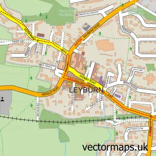
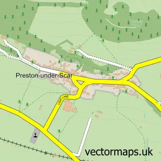
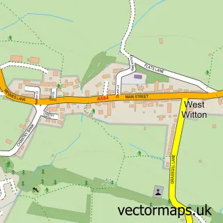
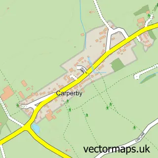
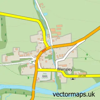
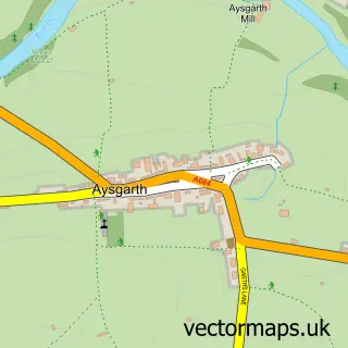
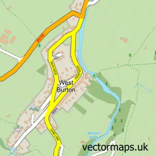
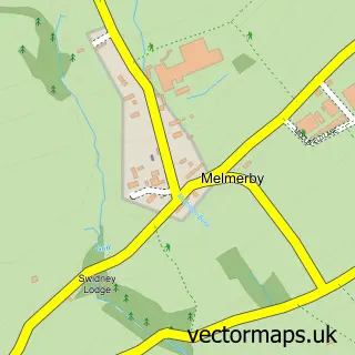
Nearby street map samples around Redmire

More street maps in North Yorkshire
750 metre map area coverage
Boundary, postcode and point of interest information for the 750m x 750m rectangle centred on this sample map.
Boundaries containing map centre
Constituency: Richmond and Northallerton Co Const
District: North Yorkshire
Icb: NHS Humber and North Yorkshire ICB
Parish: Redmire CP
Police Force: north yorkshire
Postcode District: DL8
Postcode Sector: DL8 4
Nearby boundaries intersecting sample
Parish: Castle Bolton with East and West Bolton CP
Postcode coverage
POI category counts
Bed And Breakfast: 2
Pub: 2
Automotive: 1
Employment Agencies: 1
Engineering Services: 1
Freight And Cargo Service: 1
Landscape Architect: 1
Plumbing: 1
Professional Services: 1
Train Station: 1
Sample points of interest
- Redmire horsebox hire
- The Old Town Hall Bed & Breakfast
- The Old Town Hall Guest House
- Abbott Computer Services
- P Spensley Plumbing & Heating
- Braithwaites Haulage
- Neil Wilmore
- Frank Shields & Sons
- Redmire Station House
- Redmire Village Pub
- The Bolton Arms
- Redmire railway station
Create a larger editable map of Redmire
This sample shows only a 750 metre area. To create a larger map of Redmire, use our map builder to choose your own coverage area, add titles and download editable SVG, PDF and PNG files.
Create a custom map of Redmire