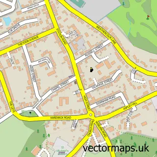
This Ridgmont street map is a detailed vector street map covering a 750m x 750m area. Select a larger area to create and download your own vector street map of Ridgmont.
The 750-metre map sample for Ridgmont covers 136 mapped buildings and approximately 15.2 km of road detail, of which 7 named roads are named. The immediate area includes 1 school and 1 pub. The wider area around Ridgmont features 2 food and drink venues and 1 hotel. To create a larger or custom map of Ridgmont, the map builder lets you define your own coverage area and download editable SVG, PDF and PNG files.
Create a larger editable map of Ridgmont
Choose any area you need and generate a high-quality vector map instantly. Perfect for print, planning, design, business and personal use.

This Ridgmont street map in Bedfordshire is available as downloadable SVG, PDF and PNG map files, or as a printed map for planning, business, display, education, local information and design work. You can also create a larger custom map area using the map selector.
What this Ridgmont map sample shows
Ridgmont lies within Ridgmont Cp parish, part of Cranfield And Marston Moretaine ward in the Central Bedfordshire local authority area. The postcode geography for this area includes the MK postcode area, the MK43 postcode district and the MK43 0 postcode sector. Residents fall under the Nhs Bedfordshire, Luton And Milton Keynes Integrated Care Board for NHS services.
Local features near Ridgmont
Within 2 milesAmenities and services in and around Ridgmont.
Administrative and postcode information for Ridgmont
The local authority covering Ridgmont is Central Bedfordshire, within the county of Bedfordshire. The settlement lies within Cranfield And Marston Moretaine ward and Ridgmont Cp civil parish. The MK43 postcode district and MK43 0 postcode sector serve the immediate area. NHS provision in the area is delivered through Bedfordshire Hospitals Nhs Foundation Trust.
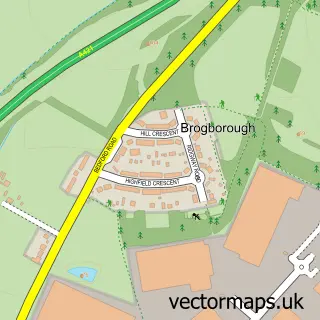
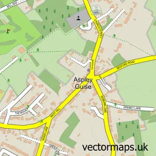
Nearby street map samples around Ridgmont


More street maps in Bedfordshire
750 metre map area coverage
Boundary, postcode and point of interest information for the 750m x 750m rectangle centred on this sample map.
Boundaries containing map centre
Constituency: Mid Bedfordshire Co Const
District: Central Bedfordshire
Icb: NHS Central East ICB
Parish: Ridgmont CP
Police Force: bedfordshire
Postcode District: MK43
Postcode Sector: MK43 0
Ward: Cranfield & Marston Moretaine Ward
Nearby boundaries intersecting sample
No additional intersecting boundaries found.
Postcode coverage
POI category counts
Retail: 2
Business To Business: 1
Church Cathedral: 1
Coffee Shop: 1
Cosmetic And Beauty Supplies: 1
Elementary School: 1
Farm: 1
Florist: 1
Graphic Designer: 1
Hotel: 1
Sample points of interest
- T F Pump Supplies & Services Ltd.
- All Saints Church
- The Firs cafe, Ridgmont, Beds
- S F Beauty Supplies
- Ridgmont Lower School
- Petpiggies
- R&S Barnwell Ltd.
- Citizen Design
- Firs Guest House
- Cranfield Post Office
- R and S Barnwell
- M.A Beare Master Decorators
Create a larger editable map of Ridgmont
This sample shows only a 750 metre area. To create a larger map of Ridgmont, use our map builder to choose your own coverage area, add titles and download editable SVG, PDF and PNG files.
Create a custom map of Ridgmont