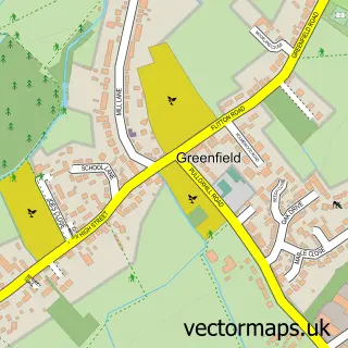
This Steppingley street map is a detailed vector street map covering a 750m x 750m area. Select a larger area to create and download your own vector street map of Steppingley.
The 750-metre map sample for Steppingley covers 89 mapped buildings and approximately 6.9 km of road detail, of which 5 named roads are named. The immediate area includes 3 GP surgeries within 2 miles, 2 pubs and 6 MOT stations within 2 miles. The wider area around Steppingley features 2 food and drink venues. To create a larger or custom map of Steppingley, the map builder lets you define your own coverage area and download editable SVG, PDF and PNG files.
Create a larger editable map of Steppingley
Choose any area you need and generate a high-quality vector map instantly. Perfect for print, planning, design, business and personal use.

This Steppingley street map in Bedfordshire is available as downloadable SVG, PDF and PNG map files, or as a printed map for planning, business, display, education, local information and design work. You can also create a larger custom map area using the map selector.
What this Steppingley map sample shows
Steppingley lies within Steppingley Cp parish, part of Flitwick ward in the Central Bedfordshire local authority area. The postcode geography for this area includes the MK postcode area, the MK45 postcode district and the MK45 5 postcode sector. Residents fall under the Nhs Bedfordshire, Luton And Milton Keynes Integrated Care Board for NHS services.
Local features near Steppingley
Within 2 milesAmenities and services in and around Steppingley.
Administrative and postcode information for Steppingley
Steppingley lies within Steppingley Cp parish, part of Flitwick ward in the Central Bedfordshire local authority area. The postcode geography for this area includes the MK postcode area, the MK45 postcode district and the MK45 5 postcode sector. Residents fall under the Nhs Bedfordshire, Luton And Milton Keynes Integrated Care Board for NHS services.
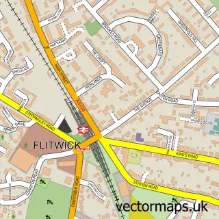
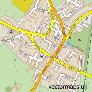
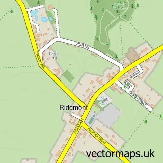
Nearby street map samples around Steppingley


More street maps in Bedfordshire
750 metre map area coverage
Boundary, postcode and point of interest information for the 750m x 750m rectangle centred on this sample map.
Boundaries containing map centre
Constituency: Mid Bedfordshire Co Const
District: Central Bedfordshire
Icb: NHS Central East ICB
Parish: Steppingley CP
Police Force: bedfordshire
Postcode District: MK45
Postcode Sector: MK45 5
Ward: Flitwick Ward
Nearby boundaries intersecting sample
No additional intersecting boundaries found.
Postcode coverage
POI category counts
Accountant: 2
Pub: 2
Alternative Medicine: 1
Anglican Church: 1
Church Cathedral: 1
Community Center: 1
Financial Service: 1
Flight School: 1
Insurance Agency: 1
Pet Store: 1
Sample points of interest
- AIMS Accountants For Business -Tim Kemp
- AIMS Accountants for Business
- Dr Julia Spivack
- Church of St Lawrence Steppingley
- St Lawrence's Church
- Steppingley Village Hall
- Aims Accountants For Business
- JetSky Flight Simulation
- Richard McLeod
- Purrsonal Touch Cat Accessories
- Drovers Arms
- The French Horn
Create a larger editable map of Steppingley
This sample shows only a 750 metre area. To create a larger map of Steppingley, use our map builder to choose your own coverage area, add titles and download editable SVG, PDF and PNG files.
Create a custom map of Steppingley