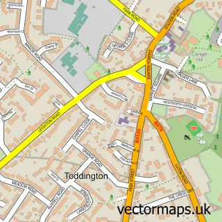
This Westoning street map is a detailed vector street map covering a 750m x 750m area. Select a larger area to create and download your own vector street map of Westoning.
The 750-metre map sample for Westoning covers 495 mapped buildings and approximately 13.6 km of road detail, of which 29 named roads are named. The immediate area includes 1 school, 1 GP surgery within 2 miles, 3 pubs and 3 MOT stations within 2 miles. The wider area around Westoning features 1 tourism point of interest and 5 food and drink venues. To create a larger or custom map of Westoning, the map builder lets you define your own coverage area and download editable SVG, PDF and PNG files.
Create a larger editable map of Westoning
Choose any area you need and generate a high-quality vector map instantly. Perfect for print, planning, design, business and personal use.

This Westoning street map in Bedfordshire is available as downloadable SVG, PDF and PNG map files, or as a printed map for planning, business, display, education, local information and design work. You can also create a larger custom map area using the map selector.
What this Westoning map sample shows
Westoning lies within Westoning Cp parish, part of Westoning, Flitton And Greenfield ward in the Central Bedfordshire local authority area. The postcode geography for this area includes the MK postcode area, the MK45 postcode district and the MK45 5 postcode sector. Residents fall under the Nhs Bedfordshire, Luton And Milton Keynes Integrated Care Board for NHS services.
Local features near Westoning
Within 2 milesAmenities and services in and around Westoning.
Administrative and postcode information for Westoning
The local authority covering Westoning is Central Bedfordshire, within the county of Bedfordshire. The settlement lies within Westoning, Flitton And Greenfield ward and Westoning Cp civil parish. The MK45 postcode district and MK45 5 postcode sector serve the immediate area. NHS provision in the area is delivered through Bedfordshire Hospitals Nhs Foundation Trust.
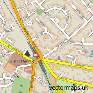
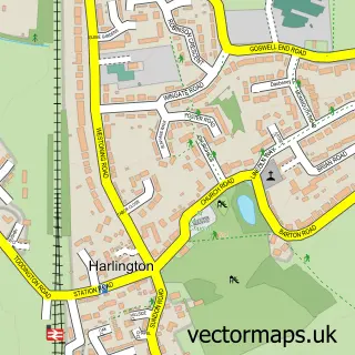
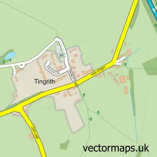
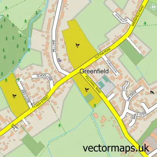
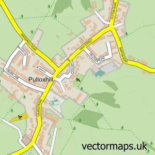
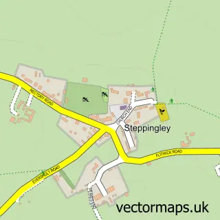
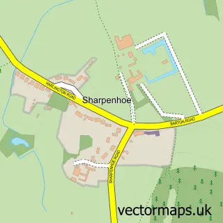
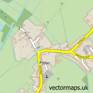
Nearby street map samples around Westoning

More street maps in Bedfordshire
750 metre map area coverage
Boundary, postcode and point of interest information for the 750m x 750m rectangle centred on this sample map.
Boundaries containing map centre
Constituency: Mid Bedfordshire Co Const
District: Central Bedfordshire
Icb: NHS Central East ICB
Parish: Westoning CP
Police Force: bedfordshire
Postcode District: MK45
Postcode Sector: MK45 5
Ward: Westoning, Flitton & Greenfield Ward
Nearby boundaries intersecting sample
No additional intersecting boundaries found.
Postcode coverage
POI category counts
Printing Services: 3
Pub: 3
Automotive Repair: 2
Beauty Salon: 2
Convenience Store: 2
Restaurant: 2
Sports Club And League: 2
Barber: 1
Beauty And Spa: 1
Butcher Shop: 1
Sample points of interest
- Auto Effects
- Phoenix Car Restoration
- Westoning Barber's
- Blush Beauty Bar
- BeUnique Hair and Nails
- pamper Bar clinic
- B W Deacon Butchers
- Institute of Transport Administration
- Multi-Active Westoning
- Dycol Ltd.
- Westoning Church
- Nisa
Create a larger editable map of Westoning
This sample shows only a 750 metre area. To create a larger map of Westoning, use our map builder to choose your own coverage area, add titles and download editable SVG, PDF and PNG files.
Create a custom map of Westoning