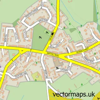
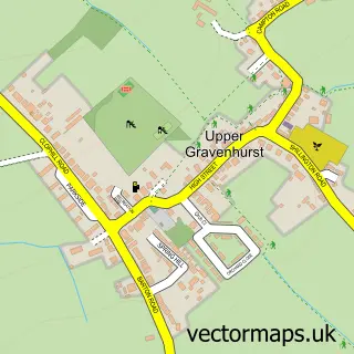
This Flitton street map is a detailed vector street map covering a 750m x 750m area. Select a larger area to create and download your own vector street map of Flitton.
The 750-metre map sample for Flitton covers 175 mapped buildings and approximately 4.9 km of road detail, of which 8 named roads are named. The immediate area includes 3 GP surgeries within 2 miles, 1 pub and 4 MOT stations within 2 miles. The wider area around Flitton features 1 tourism point of interest and 1 food and drink venue. To create a larger or custom map of Flitton, the map builder lets you define your own coverage area and download editable SVG, PDF and PNG files.
Create a larger editable map of Flitton
Choose any area you need and generate a high-quality vector map instantly. Perfect for print, planning, design, business and personal use.

This Flitton street map in Bedfordshire is available as downloadable SVG, PDF and PNG map files, or as a printed map for planning, business, display, education, local information and design work. You can also create a larger custom map area using the map selector.
What this Flitton map sample shows
Flitton lies within Flitton And Greenfield Cp parish, part of Westoning, Flitton And Greenfield ward in the Central Bedfordshire local authority area. The postcode geography for this area includes the MK postcode area, the MK45 postcode district and the MK45 5 postcode sector. Residents fall under the Nhs Bedfordshire, Luton And Milton Keynes Integrated Care Board for NHS services.
Local features near Flitton
Within 2 milesAmenities and services in and around Flitton.
Administrative and postcode information for Flitton
Flitton lies within Flitton And Greenfield Cp parish, part of Westoning, Flitton And Greenfield ward in the Central Bedfordshire local authority area. The postcode geography for this area includes the MK postcode area, the MK45 postcode district and the MK45 5 postcode sector. Residents fall under the Nhs Bedfordshire, Luton And Milton Keynes Integrated Care Board for NHS services.
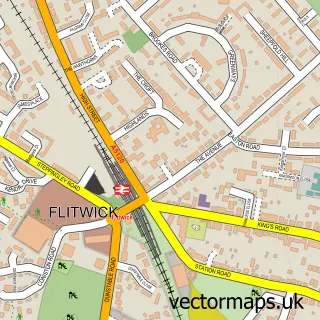
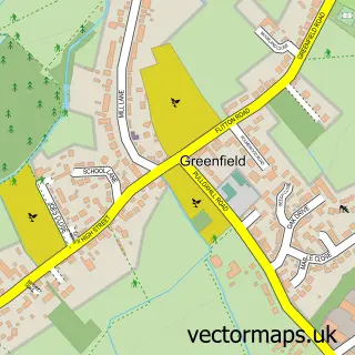
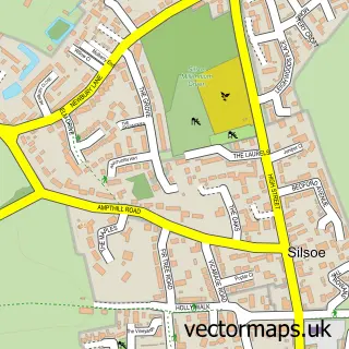
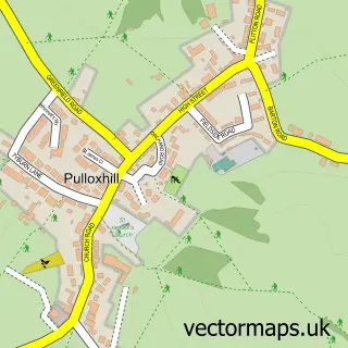
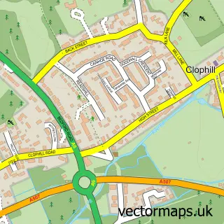
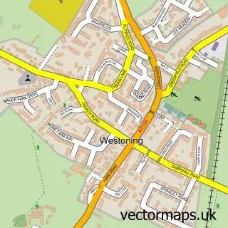
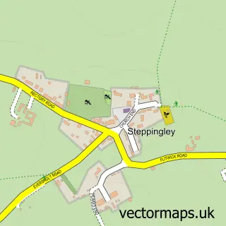
Nearby street map samples around Flitton

More street maps in Bedfordshire
750 metre map area coverage
Boundary, postcode and point of interest information for the 750m x 750m rectangle centred on this sample map.
Boundaries containing map centre
Constituency: Mid Bedfordshire Co Const
District: Central Bedfordshire
Icb: NHS Central East ICB
Parish: Flitton and Greenfield CP
Police Force: bedfordshire
Postcode District: MK45
Postcode Sector: MK45 5
Ward: Westoning, Flitton & Greenfield Ward
Nearby boundaries intersecting sample
Parish: Maulden CP
Postcode Sector: MK45 2
Ward: Ampthill Ward
Postcode coverage
POI category counts
Attractions And Activities: 1
Auto Body Shop: 1
Automotive Services And Repair: 1
Car Buyer: 1
Childrens Clothing Store: 1
Church Cathedral: 1
Land Surveying: 1
Martial Arts Club: 1
Monument: 1
Pilates Studio: 1
Sample points of interest
- De Grey Mausoleum, Flitton
- JD Services
- Netaccess Software
- Mckennas Motor Company
- Little Baby Boutique
- St John the Baptist
- Stuart Consultancy
- Yamakai Karate
- De Grey Mausoleum
- Personally Pilates
- The White Hart, Flitton
- All Axcess
Create a larger editable map of Flitton
This sample shows only a 750 metre area. To create a larger map of Flitton, use our map builder to choose your own coverage area, add titles and download editable SVG, PDF and PNG files.
Create a custom map of Flitton