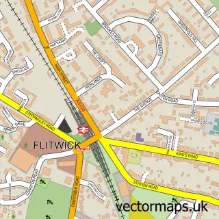
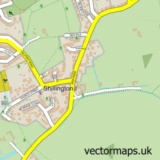
This Silsoe street map is a detailed vector street map covering a 750m x 750m area. Select a larger area to create and download your own vector street map of Silsoe.
The 750-metre map sample for Silsoe covers 411 mapped buildings and approximately 14.2 km of road detail, of which 28 named roads are named. The immediate area includes 1 MOT station within 2 miles. The wider area around Silsoe features 1 tourism point of interest, 1 food and drink venue and 1 hotel. To create a larger or custom map of Silsoe, the map builder lets you define your own coverage area and download editable SVG, PDF and PNG files.
Create a larger editable map of Silsoe
Choose any area you need and generate a high-quality vector map instantly. Perfect for print, planning, design, business and personal use.

This Silsoe street map in Bedfordshire is available as downloadable SVG, PDF and PNG map files, or as a printed map for planning, business, display, education, local information and design work. You can also create a larger custom map area using the map selector.
What this Silsoe map sample shows
Silsoe lies within Silsoe Cp parish, part of Silsoe And Shillington ward in the Central Bedfordshire local authority area. The postcode geography for this area includes the MK postcode area, the MK45 postcode district and the MK45 4 postcode sector. Residents fall under the Nhs Bedfordshire, Luton And Milton Keynes Integrated Care Board for NHS services.
Local features near Silsoe
Within 2 milesAmenities and services in and around Silsoe.
Administrative and postcode information for Silsoe
Silsoe lies within Silsoe Cp parish, part of Silsoe And Shillington ward in the Central Bedfordshire local authority area. The postcode geography for this area includes the MK postcode area, the MK45 postcode district and the MK45 4 postcode sector. Residents fall under the Nhs Bedfordshire, Luton And Milton Keynes Integrated Care Board for NHS services.
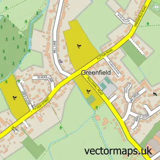
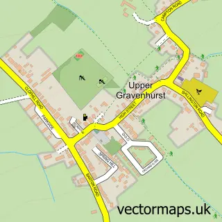
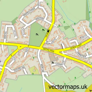
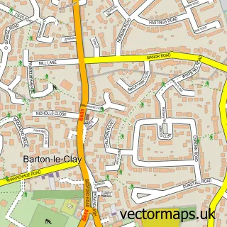
Nearby street map samples around Silsoe

More street maps in Bedfordshire
750 metre map area coverage
Boundary, postcode and point of interest information for the 750m x 750m rectangle centred on this sample map.
Boundaries containing map centre
Constituency: Mid Bedfordshire Co Const
District: Central Bedfordshire
Icb: NHS Central East ICB
Parish: Silsoe CP
Police Force: bedfordshire
Postcode District: MK45
Postcode Sector: MK45 4
Ward: Barton-le-Clay & Silsoe Ward
Nearby boundaries intersecting sample
No additional intersecting boundaries found.
Postcode coverage
POI category counts
Pet Groomer: 2
Post Office: 2
Professional Services: 2
Adult Education: 1
Anglican Church: 1
Barber: 1
Beauty Salon: 1
Building Supply Store: 1
Church Cathedral: 1
Community Center: 1
Sample points of interest
- Athenaeum Consulting
- St James the Great, Silsoe
- Route 66 Barbers
- Beauty by Caroline
- Carpet Brite
- St James Church
- Silsoe Village Hall
- Profile Property Maintenance
- Evri ParcelShop
- Silsoe VC Lower School
- Brad Bell Fitness
- Hayfield Place by Hayfield
Create a larger editable map of Silsoe
This sample shows only a 750 metre area. To create a larger map of Silsoe, use our map builder to choose your own coverage area, add titles and download editable SVG, PDF and PNG files.
Create a custom map of Silsoe