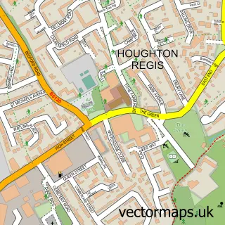
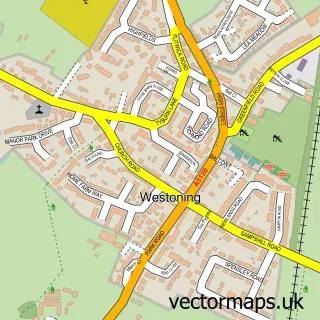
This Toddington street map is a detailed vector street map covering a 750m x 750m area. Select a larger area to create and download your own vector street map of Toddington.
The 750-metre map sample for Toddington covers 528 mapped buildings and approximately 14.3 km of road detail, of which 37 named roads are named. The immediate area includes 1 primary school and 1 secondary school, 1 GP surgery, 5 pubs and 1 MOT station. The wider area around Toddington features 1 tourism point of interest and 8 food and drink venues. To create a larger or custom map of Toddington, the map builder lets you define your own coverage area and download editable SVG, PDF and PNG files.
Create a larger editable map of Toddington
Choose any area you need and generate a high-quality vector map instantly. Perfect for print, planning, design, business and personal use.

This Toddington street map in Bedfordshire is available as downloadable SVG, PDF and PNG map files, or as a printed map for planning, business, display, education, local information and design work. You can also create a larger custom map area using the map selector.
What this Toddington map sample shows
Toddington lies within Toddington Cp parish, part of Toddington ward in the Central Bedfordshire local authority area. The postcode geography for this area includes the LU postcode area, the LU5 postcode district and the LU5 6 postcode sector. Residents fall under the Nhs Bedfordshire, Luton And Milton Keynes Integrated Care Board for NHS services.
Local features near Toddington
Within 2 milesAmenities and services in and around Toddington.
Administrative and postcode information for Toddington
The local authority covering Toddington is Central Bedfordshire, within the county of Bedfordshire. The settlement lies within Toddington ward and Toddington Cp civil parish. The LU5 postcode district and LU5 6 postcode sector serve the immediate area. NHS provision in the area is delivered through Bedfordshire Hospitals Nhs Foundation Trust.
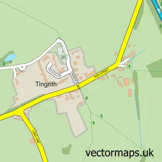
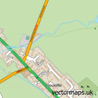
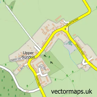
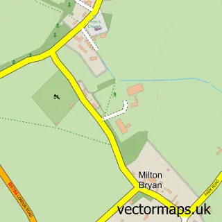
Nearby street map samples around Toddington

More street maps in Bedfordshire
750 metre map area coverage
Boundary, postcode and point of interest information for the 750m x 750m rectangle centred on this sample map.
Boundaries containing map centre
Constituency: Mid Bedfordshire Co Const
District: Central Bedfordshire
Icb: NHS Central East ICB
Parish: Toddington CP
Police Force: bedfordshire
Postcode District: LU5
Postcode Sector: LU5 6
Ward: Toddington Ward
Nearby boundaries intersecting sample
No additional intersecting boundaries found.
Postcode coverage
POI category counts
Hair Salon: 7
Pub: 5
Flowers And Gifts Shop: 4
Real Estate Agent: 4
Industrial Equipment: 3
Pet Groomer: 3
Restaurant: 3
Advertising Agency: 2
Arts And Entertainment: 2
Bar: 2
Sample points of interest
- Toddington Rovers Official
- Initially Yours
- SOH Group
- B Gallery
- Notionberry
- Pieandbelle Art Classes
- Sow & Pigs
- A J Autos Toddington
- Childs Family Bakers
- Toddington Baptist Church
- Bedford Arms
- Oddfellows Arms
Create a larger editable map of Toddington
This sample shows only a 750 metre area. To create a larger map of Toddington, use our map builder to choose your own coverage area, add titles and download editable SVG, PDF and PNG files.
Create a custom map of Toddington