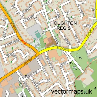
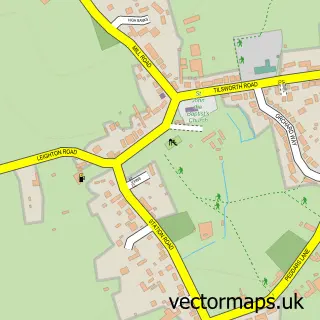
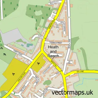
This Hockliffe street map is a detailed vector street map covering a 750m x 750m area. Select a larger area to create and download your own vector street map of Hockliffe.
The 750-metre map sample for Hockliffe covers 149 mapped buildings and approximately 24.3 km of road detail, of which 14 named roads are named. The immediate area includes 1 school and 1 pub. The wider area around Hockliffe features 4 food and drink venues and 1 hotel. To create a larger or custom map of Hockliffe, the map builder lets you define your own coverage area and download editable SVG, PDF and PNG files.
Create a larger editable map of Hockliffe
Choose any area you need and generate a high-quality vector map instantly. Perfect for print, planning, design, business and personal use.

This Hockliffe street map in Bedfordshire is available as downloadable SVG, PDF and PNG map files, or as a printed map for planning, business, display, education, local information and design work. You can also create a larger custom map area using the map selector.
What this Hockliffe map sample shows
Hockliffe lies within Hockliffe Cp parish, part of Heath And Reach ward in the Central Bedfordshire local authority area. The postcode geography for this area includes the LU postcode area, the LU7 postcode district and the LU7 9 postcode sector. Residents fall under the Nhs Bedfordshire, Luton And Milton Keynes Integrated Care Board for NHS services.
Local features near Hockliffe
Within 2 milesAmenities and services in and around Hockliffe.
Administrative and postcode information for Hockliffe
The local authority covering Hockliffe is Central Bedfordshire, within the county of Bedfordshire. The settlement lies within Heath And Reach ward and Hockliffe Cp civil parish. The LU7 postcode district and LU7 9 postcode sector serve the immediate area. NHS provision in the area is delivered through Bedfordshire Hospitals Nhs Foundation Trust.
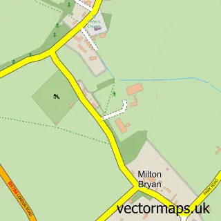
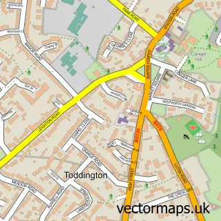
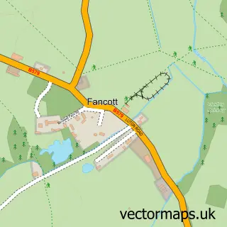
Nearby street map samples around Hockliffe

More street maps in Bedfordshire
750 metre map area coverage
Boundary, postcode and point of interest information for the 750m x 750m rectangle centred on this sample map.
Boundaries containing map centre
Constituency: Dunstable and Leighton Buzzard Co Const
District: Central Bedfordshire
Icb: NHS Central East ICB
Parish: Hockliffe CP
Police Force: bedfordshire
Postcode District: LU7
Postcode Sector: LU7 9
Ward: Heath & Reach Ward
Nearby boundaries intersecting sample
Constituency: Mid Bedfordshire Co Const
Parish: Battlesden CP
Ward: Aspley & Woburn Ward
Postcode coverage
POI category counts
Car Dealer: 3
Coffee Shop: 2
Home Goods Store: 2
Advertising Agency: 1
Animal Shelter: 1
Auto Loan Provider: 1
Automotive Parts And Accessories: 1
Bathroom Remodeling: 1
Beauty Salon: 1
British Restaurant: 1
Sample points of interest
- Prophetele Marketing
- Dick Whittington's Cattery
- The Mortgage Market
- Steelmate Automotive
- The Bathroom & Tile Art Studio
- Oh Glam Beauty & Hair Extensions
- The White Hart
- PROPHETELE Marketing Ltd.
- Numenko
- Hilton Car Supermarket
- Shahz Cars
- Ultimate Jaguar
Create a larger editable map of Hockliffe
This sample shows only a 750 metre area. To create a larger map of Hockliffe, use our map builder to choose your own coverage area, add titles and download editable SVG, PDF and PNG files.
Create a custom map of Hockliffe