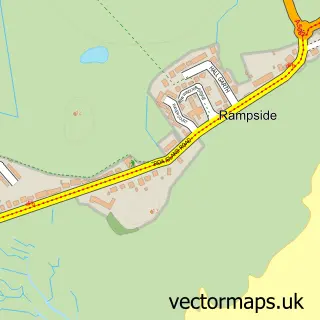
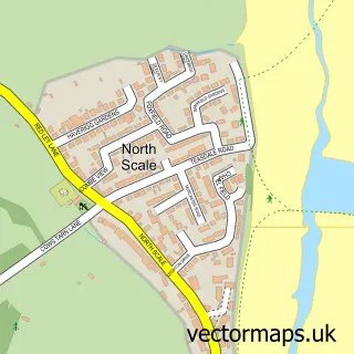
This Roa Island street map is a detailed vector street map covering a 750m x 750m area. Select a larger area to create and download your own vector street map of Roa Island.
The 750-metre map sample for Roa Island covers 33 mapped buildings and approximately 2.8 km of road detail, of which 4 named roads are named. The wider area around Roa Island features 1 tourism point of interest and 1 hotel. To create a larger or custom map of Roa Island, the map builder lets you define your own coverage area and download editable SVG, PDF and PNG files.
Create a larger editable map of Roa Island
Choose any area you need and generate a high-quality vector map instantly. Perfect for print, planning, design, business and personal use.

This Roa Island street map in Cumbria is available as downloadable SVG, PDF and PNG map files, or as a printed map for planning, business, display, education, local information and design work. You can also create a larger custom map area using the map selector.
What this Roa Island map sample shows
Roa Island lies within Westmorland And Furness parish, part of Roosecote ward in the Westmorland And Furness local authority area. Residents fall under the Nhs Lancashire And South Cumbria Integrated Care Board for NHS services.
Local features near Roa Island
Within 2 milesAmenities and services in and around Roa Island.
Administrative and postcode information for Roa Island
The local authority covering Roa Island is Westmorland And Furness, within the county of Cumbria. The settlement lies within Roosecote ward and Westmorland And Furness civil parish. NHS services are coordinated through the Nhs Lancashire And South Cumbria Integrated Care Board.
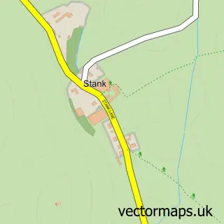
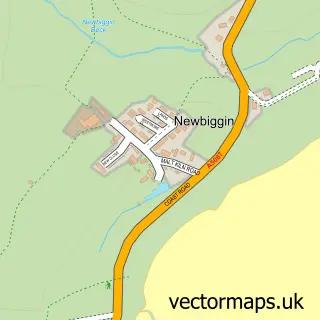
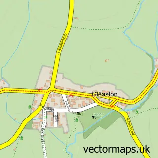
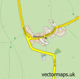
Nearby street map samples around Roa Island

More street maps in Cumbria
750 metre map area coverage
Boundary, postcode and point of interest information for the 750m x 750m rectangle centred on this sample map.
Boundaries containing map centre
Constituency: Barrow and Furness Co Const
District: Westmorland and Furness
Parish: Barrow CP
Postcode District: LA13
Postcode Sector: LA13 0
Ward: Risedale and Roosecote Ward
Nearby boundaries intersecting sample
Ward: Walney Island Ward
Postcode coverage
POI category counts
Charity Organization: 1
Diner: 1
Emergency Service: 1
Ferry Boat Company: 1
Gift Shop: 1
Hotel: 1
Landmark And Historical Building: 1
Naturopathic Holistic: 1
Sports Club And League: 1
Train Station: 1
Sample points of interest
- Barrow Lifeboat
- Bosun's Locker
- RNLI Barrow Lifeboat Station
- Piel Ferry
- RNLI Shop
- Roa Island House
- Piel Castle
- Cumbria Hypnosis Mindfulness Clinic
- Roa Island Boating Club
- Piel railway station
- Labrina's Beauty Parlour
Create a larger editable map of Roa Island
This sample shows only a 750 metre area. To create a larger map of Roa Island, use our map builder to choose your own coverage area, add titles and download editable SVG, PDF and PNG files.
Create a custom map of Roa Island