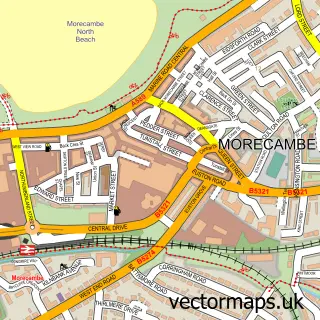
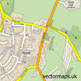
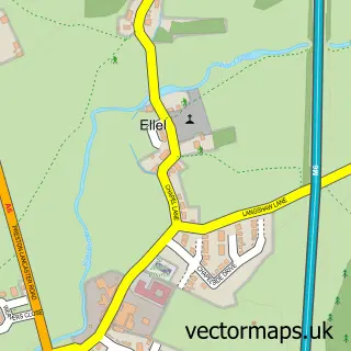
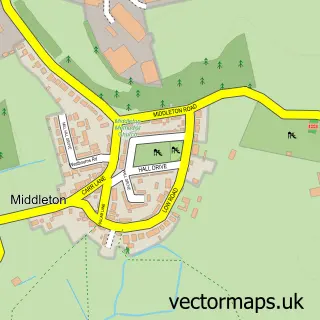
This Lancaster street map is a detailed vector street map covering a 750m x 750m area. Select a larger area to create and download your own vector street map of Lancaster.
The 750-metre map sample for Lancaster covers 206 mapped buildings and approximately 23.6 km of road detail, of which 79 named roads are named. The immediate area includes 1 primary school and 1 secondary school, 2 GP surgeries, 32 pubs and 1 MOT station, with 19 within 2 miles. The wider area around Lancaster features 19 tourism points of interest, 94 food and drink venues and 10 hotels. To create a larger or custom map of Lancaster, the map builder lets you define your own coverage area and download editable SVG, PDF and PNG files.
Create a larger editable map of Lancaster
Choose any area you need and generate a high-quality vector map instantly. Perfect for print, planning, design, business and personal use.

This Lancaster street map in Lancashire is available as downloadable SVG, PDF and PNG map files, or as a printed map for planning, business, display, education, local information and design work. You can also create a larger custom map area using the map selector.
What this Lancaster map sample shows
Lancaster lies within Lancashire County parish, part of Scotforth East ward in the Lancaster District (B) local authority area. The postcode geography for this area includes the LA postcode area, the LA1 postcode district and the LA1 4 postcode sector. Residents fall under the Nhs Lancashire And South Cumbria Integrated Care Board for NHS services.
Local features near Lancaster
Within 2 milesAmenities and services in and around Lancaster.
Administrative and postcode information for Lancaster
Lancaster lies within Lancashire County parish, part of Scotforth East ward in the Lancaster District (B) local authority area. The postcode geography for this area includes the LA postcode area, the LA1 postcode district and the LA1 4 postcode sector. Residents fall under the Nhs Lancashire And South Cumbria Integrated Care Board for NHS services.
Nearby street map samples around Lancaster
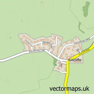
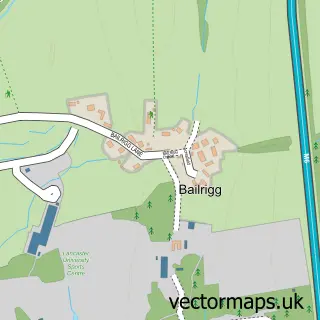
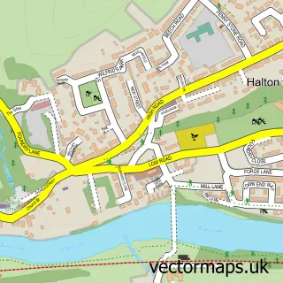
More street maps in Lancashire
750 metre map area coverage
Boundary, postcode and point of interest information for the 750m x 750m rectangle centred on this sample map.
Boundaries containing map centre
Constituency: Lancaster and Wyre Co Const
County: Lancashire County
District: Lancaster District (B)
Icb: NHS Lancashire and South Cumbria ICB
Police Force: lancashire
Postcode District: LA1
Postcode Sector: LA1 1
Ward: Castle Ward
Nearby boundaries intersecting sample
Postcode Sector: LA1 2, LA1 3, LA1 4, LA1 5
Ward: Bulk Ward, Marsh Ward
Postcode coverage
POI category counts
Pub: 32
Beauty Salon: 26
Real Estate Agent: 26
Cafe: 23
Tattoo And Piercing: 23
Bar: 21
Restaurant: 21
Clothing Store: 20
Coffee Shop: 18
Hair Salon: 18
Sample points of interest
- Bailrigg Student Living
- Cable Street
- Damside Student Accommodation
- Homes for Students St Leonards House
- Lancaster Student Lettings
- Prestige Student Living Foundry Studios
- St Leonard's House
- Student Housing Lancaster
- Azets - Accountants & Business Advisors
- Price Accounting
- Sportive Bike
- CALM Acupuncture Lancaster & Morecambe
Create a larger editable map of Lancaster
This sample shows only a 750 metre area. To create a larger map of Lancaster, use our map builder to choose your own coverage area, add titles and download editable SVG, PDF and PNG files.
Create a custom map of Lancaster