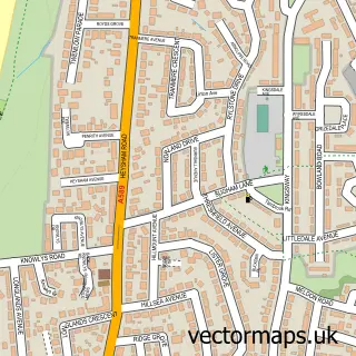
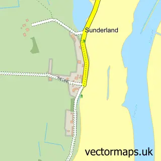
This Aldcliffe street map is a detailed vector street map covering a 750m x 750m area. Select a larger area to create and download your own vector street map of Aldcliffe.
The 750-metre map sample for Aldcliffe covers 77 mapped buildings and approximately 4.7 km of road detail, of which 7 named roads are named. The immediate area includes 2 GP surgeries within 2 miles and 15 MOT stations within 2 miles. To create a larger or custom map of Aldcliffe, the map builder lets you define your own coverage area and download editable SVG, PDF and PNG files.
Create a larger editable map of Aldcliffe
Choose any area you need and generate a high-quality vector map instantly. Perfect for print, planning, design, business and personal use.

This Aldcliffe street map in Lancashire is available as downloadable SVG, PDF and PNG map files, or as a printed map for planning, business, display, education, local information and design work. You can also create a larger custom map area using the map selector.
What this Aldcliffe map sample shows
Aldcliffe lies within Lancashire County parish, part of Scotforth East ward in the Lancaster District (B) local authority area. The postcode geography for this area includes the LA postcode area, the LA1 postcode district and the LA1 4 postcode sector. Residents fall under the Nhs Lancashire And South Cumbria Integrated Care Board for NHS services.
Local features near Aldcliffe
Within 2 milesAmenities and services in and around Aldcliffe.
Administrative and postcode information for Aldcliffe
Aldcliffe lies within Lancashire County parish, part of Scotforth East ward in the Lancaster District (B) local authority area. The postcode geography for this area includes the LA postcode area, the LA1 postcode district and the LA1 4 postcode sector. Residents fall under the Nhs Lancashire And South Cumbria Integrated Care Board for NHS services.
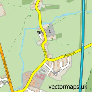
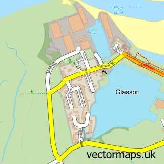
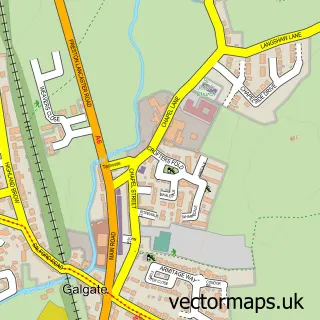
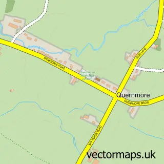
Nearby street map samples around Aldcliffe

More street maps in Lancashire
750 metre map area coverage
Boundary, postcode and point of interest information for the 750m x 750m rectangle centred on this sample map.
Boundaries containing map centre
Constituency: Lancaster and Wyre Co Const
County: Lancashire County
District: Lancaster District (B)
Icb: NHS Lancashire and South Cumbria ICB
Parish: Aldcliffe-with-Stodday CP
Police Force: lancashire
Postcode District: LA1
Postcode Sector: LA1 5
Ward: Scotforth West Ward
Nearby boundaries intersecting sample
Postcode District: LA2
Postcode Sector: LA2 0
Ward: Marsh Ward
Postcode coverage
POI category counts
Business Management Services: 1
Nature Reserve: 1
Swimming Instructor: 1
Sample points of interest
- Organised Technology Ltd.
- Fairfield Nature Reserve
- The Aquatic Body
Create a larger editable map of Aldcliffe
This sample shows only a 750 metre area. To create a larger map of Aldcliffe, use our map builder to choose your own coverage area, add titles and download editable SVG, PDF and PNG files.
Create a custom map of Aldcliffe