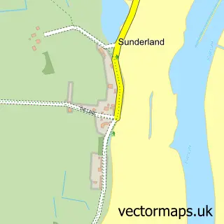
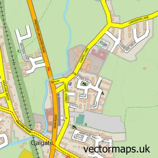
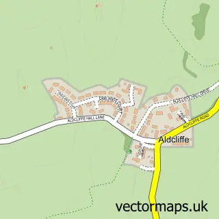
This Glasson Dock street map is a detailed vector street map covering a 750m x 750m area. Select a larger area to create and download your own vector street map of Glasson Dock.
The 750-metre map sample for Glasson Dock covers 87 mapped buildings and approximately 7.2 km of road detail, of which 13 named roads are named. The immediate area includes 1 school and 2 pubs. The wider area around Glasson Dock features 1 tourism point of interest and 6 food and drink venues. To create a larger or custom map of Glasson Dock, the map builder lets you define your own coverage area and download editable SVG, PDF and PNG files.
Create a larger editable map of Glasson Dock
Choose any area you need and generate a high-quality vector map instantly. Perfect for print, planning, design, business and personal use.

This Glasson Dock street map in Lancashire is available as downloadable SVG, PDF and PNG map files, or as a printed map for planning, business, display, education, local information and design work. You can also create a larger custom map area using the map selector.
What this Glasson Dock map sample shows
Glasson Dock lies within Thurnham Cp parish, part of Ellel ward in the Lancaster District (B) local authority area. The postcode geography for this area includes the LA postcode area, the LA2 postcode district and the LA2 0 postcode sector. Residents fall under the Nhs Lancashire And South Cumbria Integrated Care Board for NHS services.
Local features near Glasson Dock
Within 2 milesAmenities and services in and around Glasson Dock.
Administrative and postcode information for Glasson Dock
The local authority covering Glasson Dock is Lancaster District (B), within the county of Lancashire. The settlement lies within Ellel ward and Thurnham Cp civil parish. The LA2 postcode district and LA2 0 postcode sector serve the immediate area. NHS provision in the area is delivered through University Hospitals Of Morecambe Bay Nhs Foundation Trust.
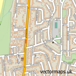
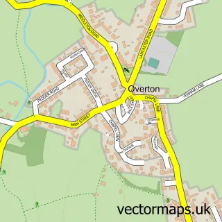
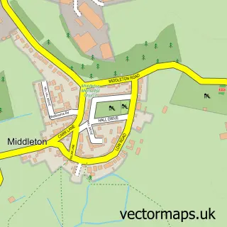
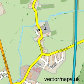
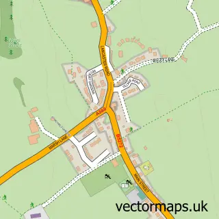
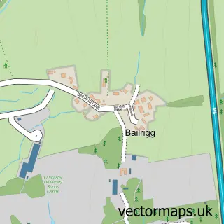
Nearby street map samples around Glasson Dock

More street maps in Lancashire
750 metre map area coverage
Boundary, postcode and point of interest information for the 750m x 750m rectangle centred on this sample map.
Boundaries containing map centre
Constituency: Lancaster and Wyre Co Const
County: Lancashire County
District: Lancaster District (B)
Icb: NHS Lancashire and South Cumbria ICB
Parish: Thurnham CP
Police Force: lancashire
Postcode District: LA2
Postcode Sector: LA2 0
Ward: Ellel Ward
Nearby boundaries intersecting sample
Constituency: Morecambe and Lunesdale Co Const
Parish: Overton CP
Ward: Overton Ward
Postcode coverage
POI category counts
Professional Services: 3
Cafe: 2
Elementary School: 2
Pub: 2
Restaurant: 2
Sports Club And League: 2
Agriculture: 1
Arts And Entertainment: 1
Community Center: 1
Eat And Drink: 1
Sample points of interest
- Glasson Grain
- Glason Dock
- Lockkeepers Rest
- The Quayside
- Glasson Dock Village Hall
- Emma Miller
- Thurnham Glasson Christ Church Church of England Primary School
- Thurnham Glasson Christ Church, Church of England Primary School
- The Port Of Lancaster Smokehouse Ltd.
- Claire Woodward, Lancashire Stained Glass
- The Shop At Glasson Dock
- Motorhomes and Caravans
Create a larger editable map of Glasson Dock
This sample shows only a 750 metre area. To create a larger map of Glasson Dock, use our map builder to choose your own coverage area, add titles and download editable SVG, PDF and PNG files.
Create a custom map of Glasson Dock