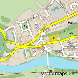
This Slyne street map is a detailed vector street map covering a 750m x 750m area. Select a larger area to create and download your own vector street map of Slyne.
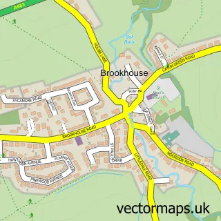
The 750-metre map sample for Slyne covers 291 mapped buildings and approximately 13.6 km of road detail, of which 22 named roads are named. The immediate area includes 2 pubs and 5 MOT stations within 2 miles. The wider area around Slyne features 2 tourism points of interest, 2 food and drink venues and 1 hotel. To create a larger or custom map of Slyne, the map builder lets you define your own coverage area and download editable SVG, PDF and PNG files.
Create a larger editable map of Slyne
Choose any area you need and generate a high-quality vector map instantly. Perfect for print, planning, design, business and personal use.

This Slyne street map in Lancashire is available as downloadable SVG, PDF and PNG map files, or as a printed map for planning, business, display, education, local information and design work. You can also create a larger custom map area using the map selector.
What this Slyne map sample shows
Slyne lies within Slyne-With-Hest Cp parish, part of Bolton & Slyne ward in the Lancaster District (B) local authority area. The postcode geography for this area includes the LA postcode area, the LA2 postcode district and the LA2 6 postcode sector. Residents fall under the Nhs Lancashire And South Cumbria Integrated Care Board for NHS services.
Local features near Slyne
Within 2 milesAmenities and services in and around Slyne.
Administrative and postcode information for Slyne
Slyne lies within Slyne-With-Hest Cp parish, part of Bolton & Slyne ward in the Lancaster District (B) local authority area. The postcode geography for this area includes the LA postcode area, the LA2 postcode district and the LA2 6 postcode sector. Residents fall under the Nhs Lancashire And South Cumbria Integrated Care Board for NHS services.
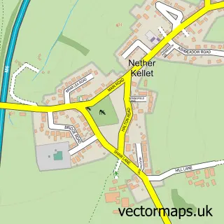
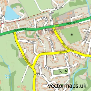
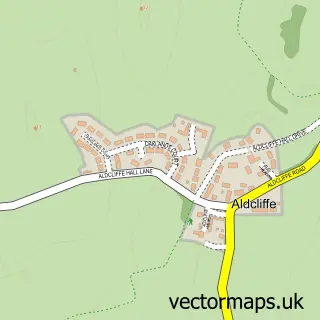
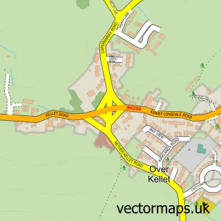
Nearby street map samples around Slyne

More street maps in Lancashire
750 metre map area coverage
Boundary, postcode and point of interest information for the 750m x 750m rectangle centred on this sample map.
Boundaries containing map centre
Constituency: Morecambe and Lunesdale Co Const
County: Lancashire County
District: Lancaster District (B)
Icb: NHS Lancashire and South Cumbria ICB
Parish: Slyne-with-Hest CP
Police Force: lancashire
Postcode District: LA2
Postcode Sector: LA2 6
Ward: Bolton & Slyne Ward
Nearby boundaries intersecting sample
Postcode District: LA5
Postcode Sector: LA5 8
Postcode coverage
POI category counts
Church Cathedral: 2
Convenience Store: 2
Pub: 2
Sports Club And League: 2
Anglican Church: 1
Bakery: 1
Bar: 1
Beauty Salon: 1
Building Supply Store: 1
Campground: 1
Sample points of interest
- St Luke, Slyne with Hest.
- Abbit Sweet
- The Lodge
- Rejuvin8Ltd
- S G Landscapes
- Slyne Caravan Park
- Morecambe Christadelphians
- St Luke's Church
- Slyne with Hest Church Hall
- Londis
- Slyne-with-Hest Village Stores
- Post Office Travel Money
Create a larger editable map of Slyne
This sample shows only a 750 metre area. To create a larger map of Slyne, use our map builder to choose your own coverage area, add titles and download editable SVG, PDF and PNG files.
Create a custom map of Slyne