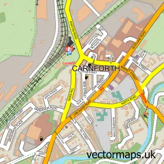
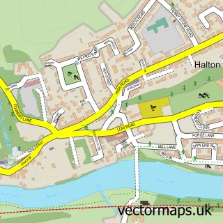
This Bolton-le-Sands street map is a detailed vector street map covering a 750m x 750m area. Select a larger area to create and download your own vector street map of Bolton-le-Sands.
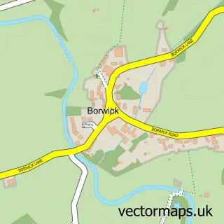
The 750-metre map sample for Bolton-le-Sands covers 570 mapped buildings and approximately 18.3 km of road detail, of which 36 named roads are named. The immediate area includes 1 GP surgery within 2 miles, 1 pub and 1 MOT station, with 5 within 2 miles. The wider area around Bolton-le-Sands features 1 tourism point of interest and 2 food and drink venues. To create a larger or custom map of Bolton-le-Sands, the map builder lets you define your own coverage area and download editable SVG, PDF and PNG files.
Create a larger editable map of Bolton-le-Sands
Choose any area you need and generate a high-quality vector map instantly. Perfect for print, planning, design, business and personal use.

This Bolton-le-Sands street map in Lancashire is available as downloadable SVG, PDF and PNG map files, or as a printed map for planning, business, display, education, local information and design work. You can also create a larger custom map area using the map selector.
What this Bolton-le-Sands map sample shows
Bolton-le-Sands lies within Bolton-Le-Sands Cp parish, part of Bolton & Slyne ward in the Lancaster District (B) local authority area. The postcode geography for this area includes the LA postcode area, the LA5 postcode district and the LA5 8 postcode sector. Residents fall under the Nhs Lancashire And South Cumbria Integrated Care Board for NHS services.
Local features near Bolton-le-Sands
Within 2 milesAmenities and services in and around Bolton-le-Sands.
Administrative and postcode information for Bolton-le-Sands
The local authority covering Bolton-le-Sands is Lancaster District (B), within the county of Lancashire. The settlement lies within Bolton & Slyne ward and Bolton-Le-Sands Cp civil parish. The LA5 postcode district and LA5 8 postcode sector serve the immediate area. NHS provision in the area is delivered through University Hospitals Of Morecambe Bay Nhs Foundation Trust.
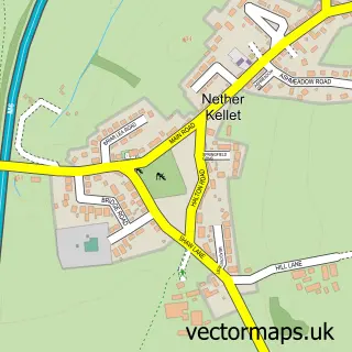
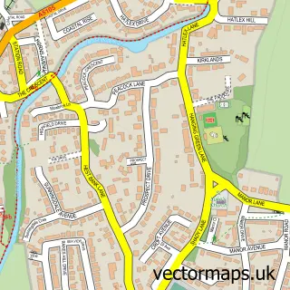
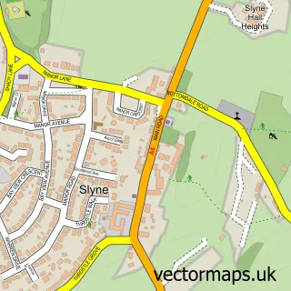
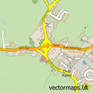
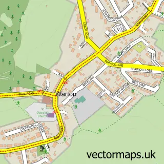
Nearby street map samples around Bolton-le-Sands

More street maps in Lancashire
750 metre map area coverage
Boundary, postcode and point of interest information for the 750m x 750m rectangle centred on this sample map.
Boundaries containing map centre
Constituency: Morecambe and Lunesdale Co Const
County: Lancashire County
District: Lancaster District (B)
Icb: NHS Lancashire and South Cumbria ICB
Parish: Bolton-le-Sands CP
Police Force: lancashire
Postcode District: LA5
Postcode Sector: LA5 8
Ward: Bolton & Slyne Ward
Nearby boundaries intersecting sample
No additional intersecting boundaries found.
Postcode coverage
POI category counts
Building Supply Store: 3
Automotive Repair: 2
Furniture Manufacturers: 2
Package Locker: 2
Resort: 2
Accountant: 1
Advertising Agency: 1
Auto Body Shop: 1
Bakery: 1
Barber: 1
Sample points of interest
- Ann Bingley Book-keeping Services Ltd.
- Better with Jam
- Off Grid ECO Camper Van Conversions and Upgrades
- Jubilee Garage
- Jubilee Garage
- Hilary Hurst
- Jack Of All Fades Barbershop
- Images Health & Beauty Naturally
- Carbon Reincarnation
- Jack of All Fades
- Northwest Window Systems
- Tom Irving Plumbing & Heating Limit
Create a larger editable map of Bolton-le-Sands
This sample shows only a 750 metre area. To create a larger map of Bolton-le-Sands, use our map builder to choose your own coverage area, add titles and download editable SVG, PDF and PNG files.
Create a custom map of Bolton-le-Sands