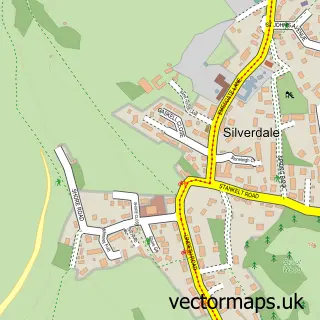
This Warton street map is a detailed vector street map covering a 750m x 750m area. Select a larger area to create and download your own vector street map of Warton.
The 750-metre map sample for Warton covers 323 mapped buildings and approximately 16.3 km of road detail, of which 23 named roads are named. The immediate area includes 1 school, 1 GP surgery within 2 miles, 2 pubs and 1 MOT station, with 5 within 2 miles. The wider area around Warton features 1 tourism point of interest and 2 food and drink venues. To create a larger or custom map of Warton, the map builder lets you define your own coverage area and download editable SVG, PDF and PNG files.
Create a larger editable map of Warton
Choose any area you need and generate a high-quality vector map instantly. Perfect for print, planning, design, business and personal use.

This Warton street map in Lancashire is available as downloadable SVG, PDF and PNG map files, or as a printed map for planning, business, display, education, local information and design work. You can also create a larger custom map area using the map selector.
What this Warton map sample shows
Warton lies within Warton Cp parish, part of Warton ward in the Lancaster District (B) local authority area. The postcode geography for this area includes the LA postcode area, the LA5 postcode district and the LA5 9 postcode sector. Residents fall under the Nhs Lancashire And South Cumbria Integrated Care Board for NHS services.
Local features near Warton
Within 2 milesAmenities and services in and around Warton.
Administrative and postcode information for Warton
The local authority covering Warton is Lancaster District (B), within the county of Lancashire. The settlement lies within Warton ward and Warton Cp civil parish. The LA5 postcode district and LA5 9 postcode sector serve the immediate area. NHS provision in the area is delivered through University Hospitals Of Morecambe Bay Nhs Foundation Trust.
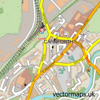
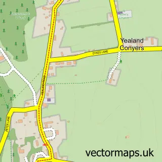
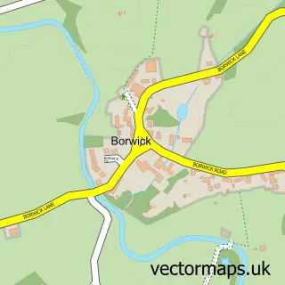
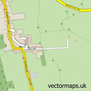
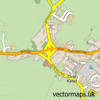
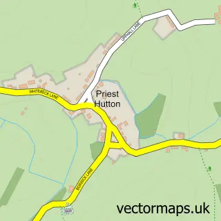
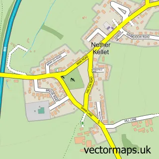
Nearby street map samples around Warton

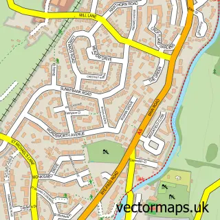
More street maps in Lancashire
750 metre map area coverage
Boundary, postcode and point of interest information for the 750m x 750m rectangle centred on this sample map.
Boundaries containing map centre
Constituency: Morecambe and Lunesdale Co Const
County: Lancashire County
District: Lancaster District (B)
Icb: NHS Lancashire and South Cumbria ICB
Parish: Warton CP
Police Force: lancashire
Postcode District: LA5
Postcode Sector: LA5 9
Ward: Warton Ward
Nearby boundaries intersecting sample
No additional intersecting boundaries found.
Postcode coverage
POI category counts
Building Supply Store: 3
Elementary School: 3
Auto Body Shop: 2
Automotive: 2
Church Cathedral: 2
Electrician: 2
Korean Grocery Store: 2
Monument: 2
Pub: 2
Art School: 1
Sample points of interest
- Stage Coach
- Warton Old Rectory
- Colour Wizard
- Colour Wizard
- Warton Hall Garage
- Warton Hall Garage - Car Servicing, MOT Test & Repairs Carnforth
- Chequers
- George Washington
- Five Warton Gardens National Garden Scheme
- Old School Brewery
- Ashleigh Interiors
- Ecoshield Environmental Services
Create a larger editable map of Warton
This sample shows only a 750 metre area. To create a larger map of Warton, use our map builder to choose your own coverage area, add titles and download editable SVG, PDF and PNG files.
Create a custom map of Warton