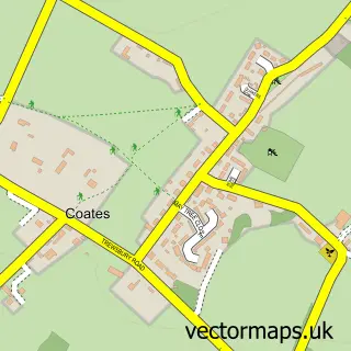
This Sapperton street map is a detailed vector street map covering a 750m x 750m area. Select a larger area to create and download your own vector street map of Sapperton.
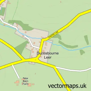
The 750-metre map sample for Sapperton covers 68 mapped buildings and approximately 45.7 km of road detail, of which 2 named roads are named. The immediate area includes 1 school and 1 pub. The wider area around Sapperton features 1 tourism point of interest, 1 food and drink venue and 1 hotel. To create a larger or custom map of Sapperton, the map builder lets you define your own coverage area and download editable SVG, PDF and PNG files.
Create a larger editable map of Sapperton
Choose any area you need and generate a high-quality vector map instantly. Perfect for print, planning, design, business and personal use.

This Sapperton street map in Gloucestershire is available as downloadable SVG, PDF and PNG map files, or as a printed map for planning, business, display, education, local information and design work. You can also create a larger custom map area using the map selector.
What this Sapperton map sample shows
Sapperton lies within Sapperton Cp parish, part of Ermin ward in the Cotswold District local authority area. The postcode geography for this area includes the GL postcode area, the GL7 postcode district and the GL7 6 postcode sector. Residents fall under the Nhs Gloucestershire Integrated Care Board for NHS services.
Local features near Sapperton
Within 2 milesAmenities and services in and around Sapperton.
Administrative and postcode information for Sapperton
The local authority covering Sapperton is Cotswold District, within the county of Gloucestershire. The settlement lies within Ermin ward and Sapperton Cp civil parish. The GL7 postcode district and GL7 6 postcode sector serve the immediate area. NHS provision in the area is delivered through Gloucestershire Hospitals Nhs Foundation Trust.
Nearby street map samples around Sapperton
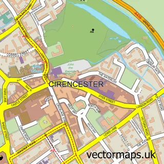

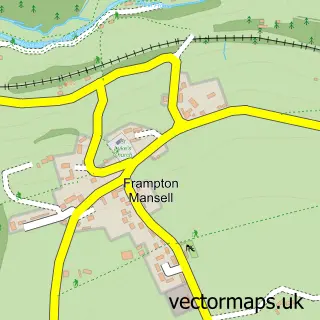
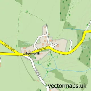
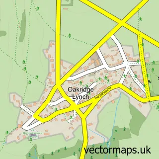
More street maps in Gloucestershire
750 metre map area coverage
Boundary, postcode and point of interest information for the 750m x 750m rectangle centred on this sample map.
Boundaries containing map centre
Constituency: North Cotswolds Co Const
County: Gloucestershire County
District: Cotswold District
Icb: NHS Gloucestershire ICB
Parish: Sapperton CP
Police Force: gloucestershire
Postcode District: GL7
Postcode Sector: GL7 6
Ward: Ermin Ward
Nearby boundaries intersecting sample
District: Stroud District
Parish: Bisley-with-Lypiatt CP
Ward: Bisley Ward
Postcode coverage
POI category counts
Church Cathedral: 1
Elementary School: 1
Event Planning: 1
Hotel: 1
Landmark And Historical Building: 1
Pub: 1
Sports Club And League: 1
Sample points of interest
- St Kenelm's Church
- Sapperton C of E Primary School
- Manor Farm Sapperton
- Daneway Inn Sapperton
- Sapperton Valley
- The Bell at Sapperton
- Sports Galore
Create a larger editable map of Sapperton
This sample shows only a 750 metre area. To create a larger map of Sapperton, use our map builder to choose your own coverage area, add titles and download editable SVG, PDF and PNG files.
Create a custom map of Sapperton