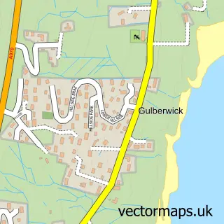
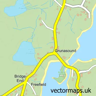
This Scalloway street map is a detailed vector street map covering a 750m x 750m area. Select a larger area to create and download your own vector street map of Scalloway.
The 750-metre map sample for Scalloway covers 92 mapped buildings and approximately 9.6 km of road detail, of which 22 named roads are named. The immediate area includes 1 GP surgery and 1 MOT station. The wider area around Scalloway features 3 tourism points of interest, 4 food and drink venues and 1 hotel. To create a larger or custom map of Scalloway, the map builder lets you define your own coverage area and download editable SVG, PDF and PNG files.
Create a larger editable map of Scalloway
Choose any area you need and generate a high-quality vector map instantly. Perfect for print, planning, design, business and personal use.

This Scalloway street map in Shetland is available as downloadable SVG, PDF and PNG map files, or as a printed map for planning, business, display, education, local information and design work. You can also create a larger custom map area using the map selector.
What this Scalloway map sample shows
Scalloway lies within Shetland Islands parish, part of Shetland Central ward in the Shetland Islands local authority area. The postcode geography for this area includes the ZE postcode area, the ZE1 postcode district and the ZE1 0 postcode sector. Local NHS services are provided through Shetland.
Local features near Scalloway
Within 2 milesAmenities and services in and around Scalloway.
Administrative and postcode information for Scalloway
Scalloway lies within Shetland Islands parish, part of Shetland Central ward in the Shetland Islands local authority area. The postcode geography for this area includes the ZE postcode area, the ZE1 postcode district and the ZE1 0 postcode sector. Local NHS services are provided through Shetland.
Nearby street map samples around Scalloway

More street maps in Shetland
750 metre map area coverage
Boundary, postcode and point of interest information for the 750m x 750m rectangle centred on this sample map.
Boundaries containing map centre
Constituency: Orkney and Shetland Co Const
District: Shetland Islands
Icb: Shetland
Postcode District: ZE1
Postcode Sector: ZE1 0
Ward: Shetland Central Ward
Nearby boundaries intersecting sample
No additional intersecting boundaries found.
Postcode coverage
POI category counts
Restaurant: 3
Automotive Repair: 2
Books Mags Music And Video: 2
Church Cathedral: 2
Hair Salon: 2
Professional Services: 2
Accountant: 1
Active Life: 1
Architectural Designer: 1
Bakery: 1
Sample points of interest
- BML Accounts Ltd
- Shetland Recreational Trust
- Malcolmson Architects
- Scalloway Motors
- Scalloway Motors
- Wild Coast Cakes
- Sharp Image Shetland
- Post Office
- Scalloway Post Office
- Scalloway Meat Company
- Cornerstone
- Scalloway Castle
Create a larger editable map of Scalloway
This sample shows only a 750 metre area. To create a larger map of Scalloway, use our map builder to choose your own coverage area, add titles and download editable SVG, PDF and PNG files.
Create a custom map of Scalloway