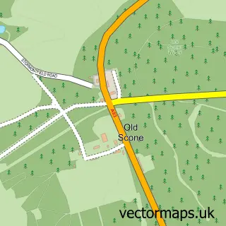
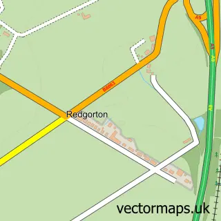
This Scone street map is a detailed vector street map covering a 750m x 750m area. Select a larger area to create and download your own vector street map of Scone.
The 750-metre map sample for Scone covers 529 mapped buildings and approximately 18.9 km of road detail, of which 32 named roads are named. The immediate area includes 1 pub and 1 MOT station within 2 miles. The wider area around Scone features 2 food and drink venues and 1 campsite within 2 miles. To create a larger or custom map of Scone, the map builder lets you define your own coverage area and download editable SVG, PDF and PNG files.
Create a larger editable map of Scone
Choose any area you need and generate a high-quality vector map instantly. Perfect for print, planning, design, business and personal use.

This Scone street map in Perth and Kinross is available as downloadable SVG, PDF and PNG map files, or as a printed map for planning, business, display, education, local information and design work. You can also create a larger custom map area using the map selector.
What this Scone map sample shows
Scone lies within Perth And Kinross parish, part of Strathmore ward in the Perth And Kinross local authority area. The postcode geography for this area includes the PH postcode area, the PH2 postcode district and the PH2 6 postcode sector. Residents fall under the Tayside for NHS services.
Local features near Scone
Within 2 milesAmenities and services in and around Scone.
Administrative and postcode information for Scone
Scone lies within Perth And Kinross parish, part of Strathmore ward in the Perth And Kinross local authority area. The postcode geography for this area includes the PH postcode area, the PH2 postcode district and the PH2 6 postcode sector. Residents fall under the Tayside for NHS services.
Nearby street map samples around Scone


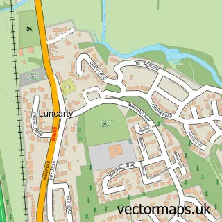
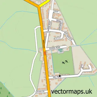
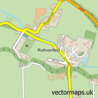
More street maps in Perth and Kinross
750 metre map area coverage
Boundary, postcode and point of interest information for the 750m x 750m rectangle centred on this sample map.
Boundaries containing map centre
Constituency: Perth and Kinross-shire Co Const
District: Perth and Kinross
Icb: Tayside
Postcode District: PH2
Postcode Sector: PH2 6
Ward: Strathmore Ward
Nearby boundaries intersecting sample
No additional intersecting boundaries found.
Postcode coverage
POI category counts
Convenience Store: 5
Sports Club And League: 4
Airport: 2
Beauty Salon: 2
Fish And Chips Restaurant: 2
Flowers And Gifts Shop: 2
Hospital: 2
Pet Groomer: 2
Veterinarian: 2
Acupuncture: 1
Sample points of interest
- Wallace Gilbraith MBAcC
- Perth Airport 2000 Limited
- Scone Airport Men's Shed
- Rustic retro
- For Art Sake Scone
- The Cooperative Food Scone, Scone
- Perth spray tech | Perth
- Marques Of Scone
- The Scone Bakery And Take-Away
- Bank of Scotland
- Bank of Scotland
- Scone barber
Create a larger editable map of Scone
This sample shows only a 750 metre area. To create a larger map of Scone, use our map builder to choose your own coverage area, add titles and download editable SVG, PDF and PNG files.
Create a custom map of Scone