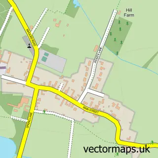
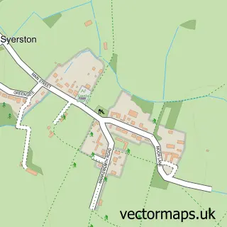
This Screveton street map is a detailed vector street map covering a 750m x 750m area. Select a larger area to create and download your own vector street map of Screveton.
The 750-metre map sample for Screveton covers 89 mapped buildings and approximately 6.6 km of road detail, of which 5 named roads are named. The wider area around Screveton features 1 food and drink venue. To create a larger or custom map of Screveton, the map builder lets you define your own coverage area and download editable SVG, PDF and PNG files.
Create a larger editable map of Screveton
Choose any area you need and generate a high-quality vector map instantly. Perfect for print, planning, design, business and personal use.

This Screveton street map in Nottinghamshire is available as downloadable SVG, PDF and PNG map files, or as a printed map for planning, business, display, education, local information and design work. You can also create a larger custom map area using the map selector.
What this Screveton map sample shows
Screveton lies within Screveton Cp parish, part of Cranmer ward in the Rushcliffe District (B) local authority area. The postcode geography for this area includes the NG postcode area, the NG13 postcode district and the NG13 8 postcode sector. Residents fall under the Nhs Nottingham And Nottinghamshire Integrated Care Board for NHS services.
Local features near Screveton
Within 2 milesAmenities and services in and around Screveton.
Administrative and postcode information for Screveton
The local authority covering Screveton is Rushcliffe District (B), within the county of Nottinghamshire. The settlement lies within Cranmer ward and Screveton Cp civil parish. The NG13 postcode district and NG13 8 postcode sector serve the immediate area. NHS provision in the area is delivered through Nottingham University Hospitals Nhs Trust.
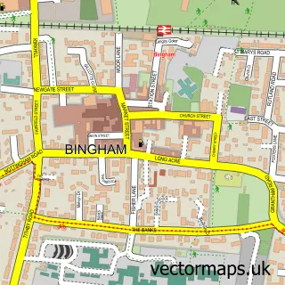
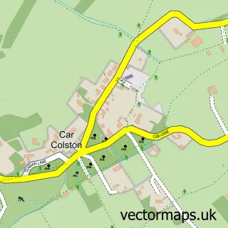
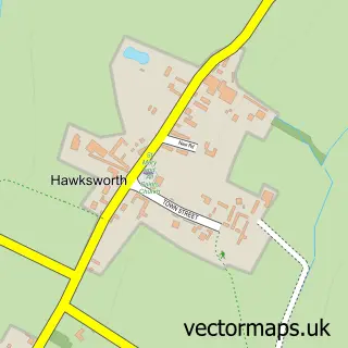
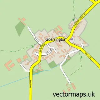
Nearby street map samples around Screveton

More street maps in Nottinghamshire
750 metre map area coverage
Boundary, postcode and point of interest information for the 750m x 750m rectangle centred on this sample map.
Boundaries containing map centre
Constituency: Newark Co Const
County: Nottinghamshire County
District: Rushcliffe District (B)
Icb: NHS Nottingham and Nottinghamshire ICB
Parish: Screveton CP
Police Force: nottinghamshire
Postcode District: NG13
Postcode Sector: NG13 8
Ward: Bingham North Ward
Nearby boundaries intersecting sample
No additional intersecting boundaries found.
Postcode coverage
POI category counts
Farm: 2
Barber: 1
Building Supply Store: 1
Business Management Services: 1
Cafe: 1
Contractor: 1
Fitness Trainer: 1
Furniture Store: 1
Hair Salon: 1
Massage Therapy: 1
Sample points of interest
- Fool's Barber
- Probyn Export
- Talisman Railwayana Auctions
- Caffe Velo Verde
- Belvoir Interiors
- Farm Eco
- Farmeco Community Care Farm
- Thorpe Performance
- Tom Marsh Furniture
- Arrowolf Hair Studio
- The Parlour Massage Clinic
- The Ecocentre
Create a larger editable map of Screveton
This sample shows only a 750 metre area. To create a larger map of Screveton, use our map builder to choose your own coverage area, add titles and download editable SVG, PDF and PNG files.
Create a custom map of Screveton