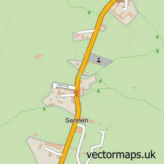
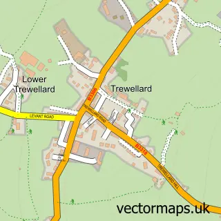
This Sennen Cove street map is a detailed vector street map covering a 750m x 750m area. Select a larger area to create and download your own vector street map of Sennen Cove.
The 750-metre map sample for Sennen Cove covers 124 mapped buildings and approximately 4.9 km of road detail, of which 4 named roads are named. The immediate area includes 1 MOT station within 2 miles. The wider area around Sennen Cove features 3 tourism points of interest, 2 food and drink venues and 5 hotels. To create a larger or custom map of Sennen Cove, the map builder lets you define your own coverage area and download editable SVG, PDF and PNG files.
Create a larger editable map of Sennen Cove
Choose any area you need and generate a high-quality vector map instantly. Perfect for print, planning, design, business and personal use.

This Sennen Cove street map in Cornwall is available as downloadable SVG, PDF and PNG map files, or as a printed map for planning, business, display, education, local information and design work. You can also create a larger custom map area using the map selector.
What this Sennen Cove map sample shows
Sennen Cove lies within Sennen Cp parish, part of St Buryan ward in the Cornwall local authority area. The postcode geography for this area includes the TR postcode area, the TR19 postcode district and the TR19 7 postcode sector. Residents fall under the Nhs Cornwall And The Isles Of Scilly Integrated Care Board for NHS services.
Local features near Sennen Cove
Within 2 milesAmenities and services in and around Sennen Cove.
Administrative and postcode information for Sennen Cove
Sennen Cove lies within Sennen Cp parish, part of St Buryan ward in the Cornwall local authority area. The postcode geography for this area includes the TR postcode area, the TR19 postcode district and the TR19 7 postcode sector. Residents fall under the Nhs Cornwall And The Isles Of Scilly Integrated Care Board for NHS services.
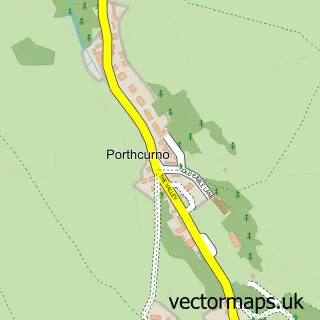
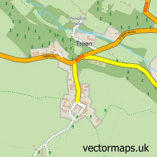
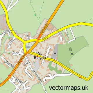
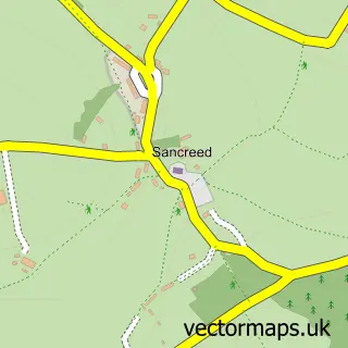
Nearby street map samples around Sennen Cove
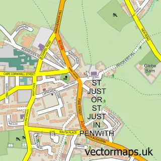

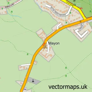
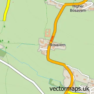
More street maps in Cornwall
750 metre map area coverage
Boundary, postcode and point of interest information for the 750m x 750m rectangle centred on this sample map.
Boundaries containing map centre
Constituency: St. Ives Co Const
District: Cornwall
Icb: NHS Cornwall and the Isles of Scilly ICB
Parish: Sennen CP
Police Force: devon and cornwall
Postcode District: TR19
Postcode Sector: TR19 7
Nearby boundaries intersecting sample
No additional intersecting boundaries found.
Postcode coverage
POI category counts
Hotel: 5
Holiday Rental Home: 4
Beach: 3
Landmark And Historical Building: 3
Cafe: 2
Community Services Non Profits: 2
Convenience Store: 2
Cottage: 2
Parking: 2
Sports And Fitness Instruction: 2
Sample points of interest
- Tinker Taylor Cottage
- Sennen Surf Co
- Roundhouse and Capstan Gallery
- Surf Beach Bar
- Sennen Beach Hire
- Sennen Cove
- Sennen Cove Harbour Beach
- Surf Beach Bar
- Pengelly House
- Breakers Cafe, Sennen Cove
- Sennen Cove Cafe
- RNLI Sennen Cove Lifeboat Station
Create a larger editable map of Sennen Cove
This sample shows only a 750 metre area. To create a larger map of Sennen Cove, use our map builder to choose your own coverage area, add titles and download editable SVG, PDF and PNG files.
Create a custom map of Sennen Cove