This Sharnbrook street map is a detailed vector street map covering a 750m x 750m area. Select a larger area to create and download your own vector street map of Sharnbrook.
The 750-metre map sample for Sharnbrook covers 303 mapped buildings and approximately 24.9 km of road detail, of which 24 named roads are named. The immediate area includes 1 GP surgery within 2 miles. To create a larger or custom map of Sharnbrook, the map builder lets you define your own coverage area and download editable SVG, PDF and PNG files.
Create a larger editable map of Sharnbrook
Choose any area you need and generate a high-quality vector map instantly. Perfect for print, planning, design, business and personal use.

This Sharnbrook street map in Bedfordshire is available as downloadable SVG, PDF and PNG map files, or as a printed map for planning, business, display, education, local information and design work. You can also create a larger custom map area using the map selector.
What this Sharnbrook map sample shows
Sharnbrook lies within Sharnbrook Cp parish, part of Sharnbrook ward in the Bedford (B) local authority area. The postcode geography for this area includes the MK postcode area, the MK44 postcode district and the MK44 1 postcode sector. Residents fall under the Nhs Bedfordshire, Luton And Milton Keynes Integrated Care Board for NHS services.
Local features near Sharnbrook
Within 2 milesAmenities and services in and around Sharnbrook.
Administrative and postcode information for Sharnbrook
The local authority covering Sharnbrook is Bedford (B), within the county of Bedfordshire. The settlement lies within Sharnbrook ward and Sharnbrook Cp civil parish. The MK44 postcode district and MK44 1 postcode sector serve the immediate area. NHS provision in the area is delivered through Bedfordshire Hospitals Nhs Foundation Trust.
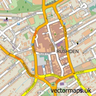
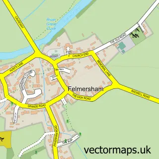
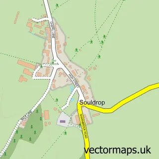
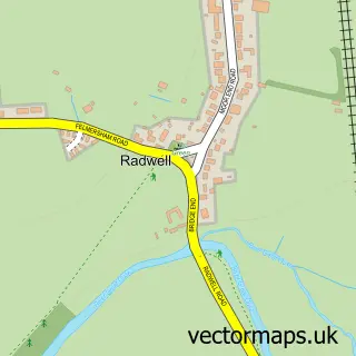
Nearby street map samples around Sharnbrook

More street maps in Bedfordshire
750 metre map area coverage
Boundary, postcode and point of interest information for the 750m x 750m rectangle centred on this sample map.
Boundaries containing map centre
Constituency: North Bedfordshire Co Const
District: Bedford (B)
Icb: NHS Central East ICB
Parish: Sharnbrook CP
Police Force: bedfordshire
Postcode District: MK44
Postcode Sector: MK44 1
Ward: Sharnbrook Ward
Nearby boundaries intersecting sample
No additional intersecting boundaries found.
Postcode coverage
POI category counts
Community Center: 2
Garbage Collection Service: 2
Active Life: 1
Anglican Church: 1
Building Contractor: 1
Event Technology Service: 1
Flowers And Gifts Shop: 1
Home Improvement Store: 1
Kitchen Supply Store: 1
Leather Goods: 1
Sample points of interest
- Sharnbrook Tennis Club
- St Peter's Church, Sharnbrook
- Aa Cleaning Services
- Little Hearts Playgroup
- Sharnbrook Village Hall
- Marquees With Pryde
- Malden and Wilde
- Milton Keynes Skip Hire
- Milton Keynes Skips
- Milton Keynes Skips
- A Class Kitchens
- Henderson Services
Create a larger editable map of Sharnbrook
This sample shows only a 750 metre area. To create a larger map of Sharnbrook, use our map builder to choose your own coverage area, add titles and download editable SVG, PDF and PNG files.
Create a custom map of Sharnbrook