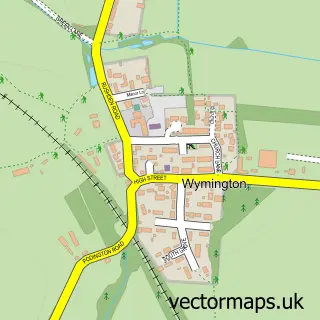
This Rushden street map is a detailed vector street map covering a 750m x 750m area. Select a larger area to create and download your own vector street map of Rushden.
The 750-metre map sample for Rushden covers 479 mapped buildings and approximately 40.8 km of road detail, of which 50 named roads are named. The immediate area includes 1 school, 4 GP surgeries within 2 miles, 4 pubs and 5 MOT stations, with 13 within 2 miles. The wider area around Rushden features 4 tourism points of interest and 16 food and drink venues. To create a larger or custom map of Rushden, the map builder lets you define your own coverage area and download editable SVG, PDF and PNG files.
Create a larger editable map of Rushden
Choose any area you need and generate a high-quality vector map instantly. Perfect for print, planning, design, business and personal use.

This Rushden street map in Northamptonshire is available as downloadable SVG, PDF and PNG map files, or as a printed map for planning, business, display, education, local information and design work. You can also create a larger custom map area using the map selector.
What this Rushden map sample shows
Rushden lies within Rushden Cp parish, part of Rushden Hayden ward in the North Northamptonshire local authority area. The postcode geography for this area includes the NN postcode area, the NN10 postcode district and the NN10 9 postcode sector. Residents fall under the Nhs Northamptonshire Integrated Care Board for NHS services.
Local features near Rushden
Within 2 milesAmenities and services in and around Rushden.
Administrative and postcode information for Rushden
The local authority covering Rushden is North Northamptonshire, within the county of Northamptonshire. The settlement lies within Rushden Hayden ward and Rushden Cp civil parish. The NN10 postcode district and NN10 9 postcode sector serve the immediate area. NHS provision in the area is delivered through Kettering General Hospital Nhs Foundation Trust.
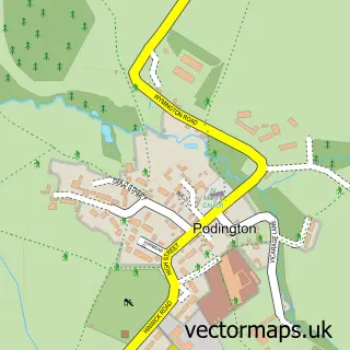
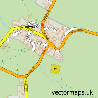
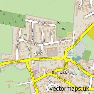
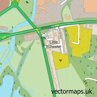
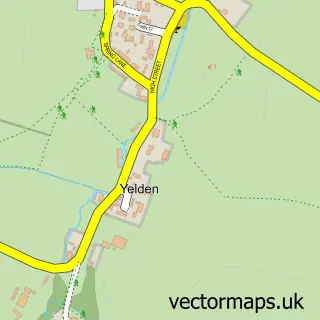
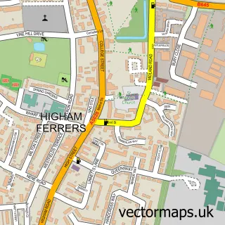
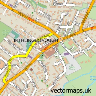
Nearby street map samples around Rushden

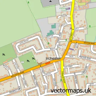
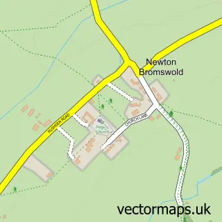
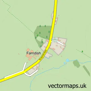
More street maps in Northamptonshire
750 metre map area coverage
Boundary, postcode and point of interest information for the 750m x 750m rectangle centred on this sample map.
Boundaries containing map centre
Constituency: Wellingborough and Rushden Co Const
District: North Northamptonshire
Icb: NHS Northamptonshire ICB
Parish: Rushden CP
Police Force: northamptonshire
Postcode District: NN10
Postcode Sector: NN10 9
Ward: Rushden Lakes Ward
Nearby boundaries intersecting sample
Postcode Sector: NN10 0, NN10 6
Ward: Pemberton Ward, Rushden South Ward
Postcode coverage
POI category counts
Beauty Salon: 23
Real Estate Agent: 16
Hair Salon: 10
Barber: 9
Charity Organization: 9
Gym: 9
Professional Services: 9
Church Cathedral: 8
Flowers And Gifts Shop: 8
Tattoo And Piercing: 8
Sample points of interest
- BTS Accountancy Services Ltd
- Forest Bookkeeping & Accountancy
- Roger Denton Chartered Accountants
- Connexions
- G P S Taxis
- Gpstaxis
- Herbal Spirit
- John Weeks M.URHP
- Rushden Swimming Club
- Rushden: St Mary
- Rushden: St Peter
- Station 109 Vintage & Antiques
Create a larger editable map of Rushden
This sample shows only a 750 metre area. To create a larger map of Rushden, use our map builder to choose your own coverage area, add titles and download editable SVG, PDF and PNG files.
Create a custom map of Rushden