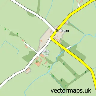
This Chelveston street map is a detailed vector street map covering a 750m x 750m area. Select a larger area to create and download your own vector street map of Chelveston.
The 750-metre map sample for Chelveston covers 128 mapped buildings and approximately 18.1 km of road detail, of which 13 named roads are named. The immediate area includes 1 pub and 2 MOT stations within 2 miles. The wider area around Chelveston features 1 food and drink venue. To create a larger or custom map of Chelveston, the map builder lets you define your own coverage area and download editable SVG, PDF and PNG files.
Create a larger editable map of Chelveston
Choose any area you need and generate a high-quality vector map instantly. Perfect for print, planning, design, business and personal use.

This Chelveston street map in Northamptonshire is available as downloadable SVG, PDF and PNG map files, or as a printed map for planning, business, display, education, local information and design work. You can also create a larger custom map area using the map selector.
What this Chelveston map sample shows
Chelveston lies within Chelveston Cum Caldecott Cp parish, part of Higham Ferrers Lancaster ward in the North Northamptonshire local authority area. The postcode geography for this area includes the NN postcode area, the NN9 postcode district and the NN9 6 postcode sector. Residents fall under the Nhs Northamptonshire Integrated Care Board for NHS services.
Local features near Chelveston
Within 2 milesAmenities and services in and around Chelveston.
Administrative and postcode information for Chelveston
Chelveston lies within Chelveston Cum Caldecott Cp parish, part of Higham Ferrers Lancaster ward in the North Northamptonshire local authority area. The postcode geography for this area includes the NN postcode area, the NN9 postcode district and the NN9 6 postcode sector. Residents fall under the Nhs Northamptonshire Integrated Care Board for NHS services.
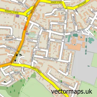
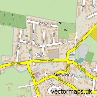
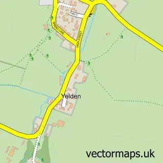
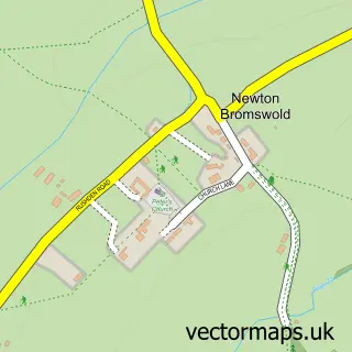
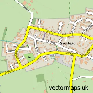
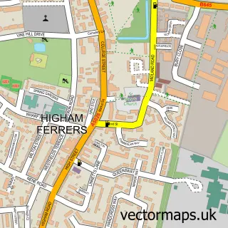
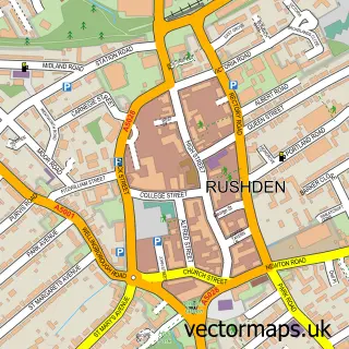
Nearby street map samples around Chelveston

More street maps in Northamptonshire
750 metre map area coverage
Boundary, postcode and point of interest information for the 750m x 750m rectangle centred on this sample map.
Boundaries containing map centre
Constituency: Wellingborough and Rushden Co Const
District: North Northamptonshire
Icb: NHS Northamptonshire ICB
Parish: Chelveston cum Caldecott CP
Police Force: northamptonshire
Postcode District: NN9
Postcode Sector: NN9 6
Ward: Higham Ferrers Ward
Nearby boundaries intersecting sample
No additional intersecting boundaries found.
Postcode coverage
POI category counts
Bed And Breakfast: 1
Building Supply Store: 1
Church Cathedral: 1
Community Center: 1
Education: 1
Fire Department: 1
Golf Course: 1
Industrial Equipment: 1
Pub: 1
Sample points of interest
- Middle Farm Villa
- Gracey & Associates
- Orlingbury St Mary's
- Chelveston Village Hall
- Ability Training
- Chelveston Training Centre - Northamptonshire Fire and Rescue Service
- Rushden Golf Club
- JST Forklifts Ltd
- Star and Garter
Create a larger editable map of Chelveston
This sample shows only a 750 metre area. To create a larger map of Chelveston, use our map builder to choose your own coverage area, add titles and download editable SVG, PDF and PNG files.
Create a custom map of Chelveston