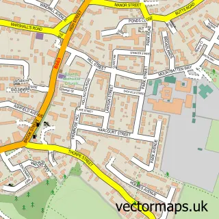
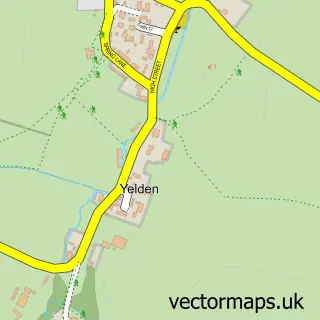
This Stanwick street map is a detailed vector street map covering a 750m x 750m area. Select a larger area to create and download your own vector street map of Stanwick.
The 750-metre map sample for Stanwick covers 403 mapped buildings and approximately 21.0 km of road detail, of which 28 named roads are named. The immediate area includes 1 school, 2 GP surgeries within 2 miles, 1 pub and 6 MOT stations within 2 miles. The wider area around Stanwick features 2 tourism points of interest and 1 food and drink venue. To create a larger or custom map of Stanwick, the map builder lets you define your own coverage area and download editable SVG, PDF and PNG files.
Create a larger editable map of Stanwick
Choose any area you need and generate a high-quality vector map instantly. Perfect for print, planning, design, business and personal use.

This Stanwick street map in Northamptonshire is available as downloadable SVG, PDF and PNG map files, or as a printed map for planning, business, display, education, local information and design work. You can also create a larger custom map area using the map selector.
What this Stanwick map sample shows
Stanwick lies within Stanwick Cp parish, part of Stanwick ward in the North Northamptonshire local authority area. The postcode geography for this area includes the NN postcode area, the NN9 postcode district and the NN9 6 postcode sector. Residents fall under the Nhs Northamptonshire Integrated Care Board for NHS services.
Local features near Stanwick
Within 2 milesAmenities and services in and around Stanwick.
Administrative and postcode information for Stanwick
Stanwick lies within Stanwick Cp parish, part of Stanwick ward in the North Northamptonshire local authority area. The postcode geography for this area includes the NN postcode area, the NN9 postcode district and the NN9 6 postcode sector. Residents fall under the Nhs Northamptonshire Integrated Care Board for NHS services.
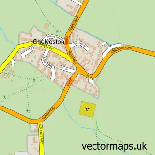
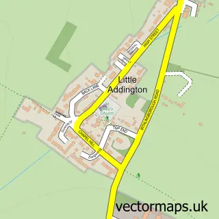
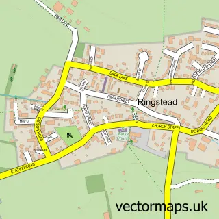
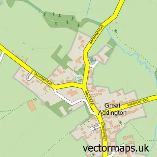
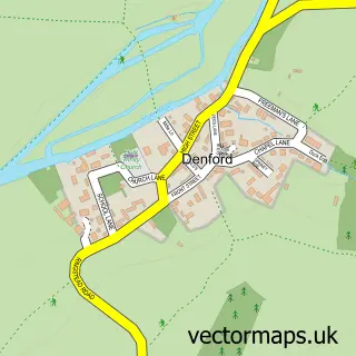
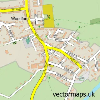
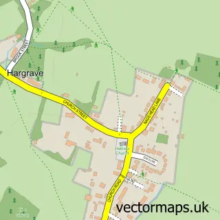
Nearby street map samples around Stanwick

More street maps in Northamptonshire
750 metre map area coverage
Boundary, postcode and point of interest information for the 750m x 750m rectangle centred on this sample map.
Boundaries containing map centre
Constituency: Corby and East Northamptonshire Co Const
District: North Northamptonshire
Icb: NHS Northamptonshire ICB
Parish: Stanwick CP
Police Force: northamptonshire
Postcode District: NN9
Postcode Sector: NN9 6
Ward: Raunds Ward
Nearby boundaries intersecting sample
No additional intersecting boundaries found.
Postcode coverage
POI category counts
Building Supply Store: 2
Church Cathedral: 2
Naturopathic Holistic: 2
Post Office: 2
Preschool: 2
Appliance Repair Service: 1
Bar: 1
Builders: 1
Business Manufacturing And Supply: 1
Butcher Shop: 1
Sample points of interest
- All Electric Northants
- Stanwick Bowls Club
- M J T Services
- Cladfit Ltd
- Graham Cutmore Engineering
- Hawkes Technical Ltd
- CR Potter & Sons
- Stanwick Car Sales
- Stanwick Hand Car Wash
- MJT Services
- Tastebuds Kitchen
- Church of St Laurence
Create a larger editable map of Stanwick
This sample shows only a 750 metre area. To create a larger map of Stanwick, use our map builder to choose your own coverage area, add titles and download editable SVG, PDF and PNG files.
Create a custom map of Stanwick