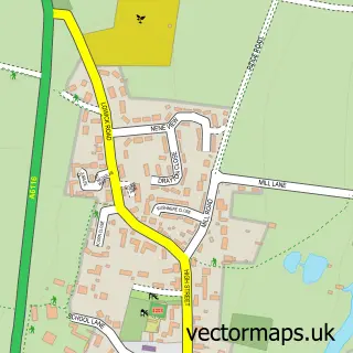
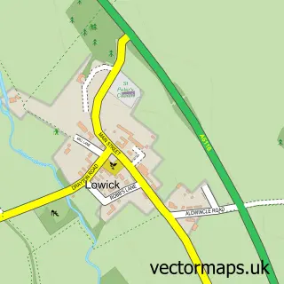
This Denford street map is a detailed vector street map covering a 750m x 750m area. Select a larger area to create and download your own vector street map of Denford.
The 750-metre map sample for Denford covers 117 mapped buildings and approximately 13.4 km of road detail, of which 13 named roads are named. The immediate area includes 2 GP surgeries within 2 miles, 1 pub and 5 MOT stations within 2 miles. The wider area around Denford features 1 tourism point of interest and 1 food and drink venue. To create a larger or custom map of Denford, the map builder lets you define your own coverage area and download editable SVG, PDF and PNG files.
Create a larger editable map of Denford
Choose any area you need and generate a high-quality vector map instantly. Perfect for print, planning, design, business and personal use.

This Denford street map in Northamptonshire is available as downloadable SVG, PDF and PNG map files, or as a printed map for planning, business, display, education, local information and design work. You can also create a larger custom map area using the map selector.
What this Denford map sample shows
Denford lies within Denford Cp parish, part of Thrapston Market ward in the North Northamptonshire local authority area. The postcode geography for this area includes the NN postcode area, the NN14 postcode district and the NN14 4 postcode sector. Residents fall under the Nhs Northamptonshire Integrated Care Board for NHS services.
Local features near Denford
Within 2 milesAmenities and services in and around Denford.
Administrative and postcode information for Denford
The local authority covering Denford is North Northamptonshire, within the county of Northamptonshire. The settlement lies within Thrapston Market ward and Denford Cp civil parish. The NN14 postcode district and NN14 4 postcode sector serve the immediate area. NHS provision in the area is delivered through Kettering General Hospital Nhs Foundation Trust.
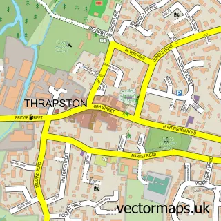
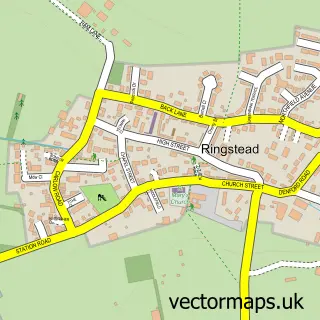
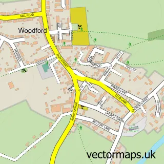
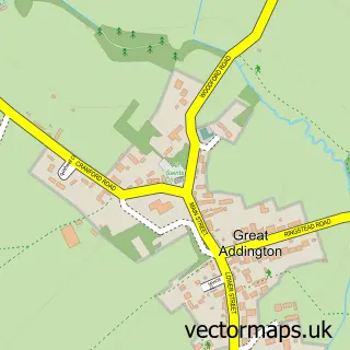
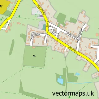
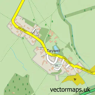
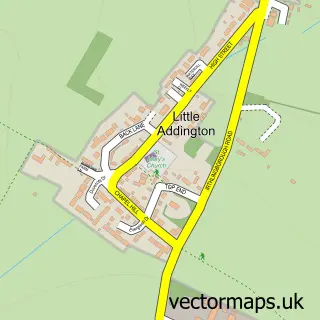
Nearby street map samples around Denford

More street maps in Northamptonshire
750 metre map area coverage
Boundary, postcode and point of interest information for the 750m x 750m rectangle centred on this sample map.
Boundaries containing map centre
Constituency: Corby and East Northamptonshire Co Const
District: North Northamptonshire
Icb: NHS Northamptonshire ICB
Parish: Denford CP
Police Force: northamptonshire
Postcode District: NN14
Postcode Sector: NN14 4
Ward: Raunds Ward
Nearby boundaries intersecting sample
No additional intersecting boundaries found.
Postcode coverage
POI category counts
Anglican Church: 1
Arts And Entertainment: 1
Beauty Salon: 1
Corporate Entertainment Services: 1
Hair Salon: 1
It Service And Computer Repair: 1
Landmark And Historical Building: 1
Online Shop: 1
Professional Services: 1
Pub: 1
Sample points of interest
- Holy Trinity, Denford
- Crazy K
- At your Fingertips
- Barn and Line Dance Caller Direct
- At Your Fingertip
- Datarota
- Denford
- Atmosphere Air Conditioning Ltd.
- Liberty Learning Autism Consultancy
- The Cock Inn
- Birchtree property
Create a larger editable map of Denford
This sample shows only a 750 metre area. To create a larger map of Denford, use our map builder to choose your own coverage area, add titles and download editable SVG, PDF and PNG files.
Create a custom map of Denford