This Islip street map is a detailed vector street map covering a 750m x 750m area. Select a larger area to create and download your own vector street map of Islip.
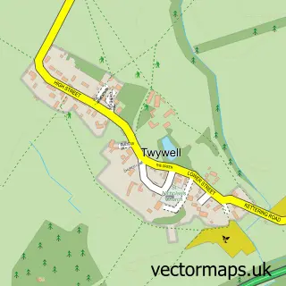
The 750-metre map sample for Islip covers 193 mapped buildings and approximately 17.4 km of road detail, of which 14 named roads are named. The immediate area includes 2 GP surgeries within 2 miles, 1 pub and 4 MOT stations within 2 miles. The wider area around Islip features 1 tourism point of interest and 1 food and drink venue. To create a larger or custom map of Islip, the map builder lets you define your own coverage area and download editable SVG, PDF and PNG files.
Create a larger editable map of Islip
Choose any area you need and generate a high-quality vector map instantly. Perfect for print, planning, design, business and personal use.

This Islip street map in Northamptonshire is available as downloadable SVG, PDF and PNG map files, or as a printed map for planning, business, display, education, local information and design work. You can also create a larger custom map area using the map selector.
What this Islip map sample shows
Islip lies within Islip Cp parish, part of Thrapston Lakes ward in the North Northamptonshire local authority area. The postcode geography for this area includes the NN postcode area, the NN14 postcode district and the NN14 3 postcode sector. Residents fall under the Nhs Northamptonshire Integrated Care Board for NHS services.
Local features near Islip
Within 2 milesAmenities and services in and around Islip.
Administrative and postcode information for Islip
Islip lies within Islip Cp parish, part of Thrapston Lakes ward in the North Northamptonshire local authority area. The postcode geography for this area includes the NN postcode area, the NN14 postcode district and the NN14 3 postcode sector. Residents fall under the Nhs Northamptonshire Integrated Care Board for NHS services.
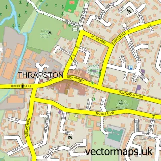
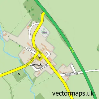
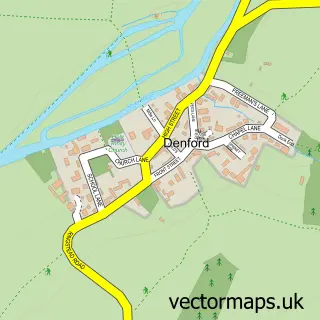
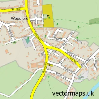
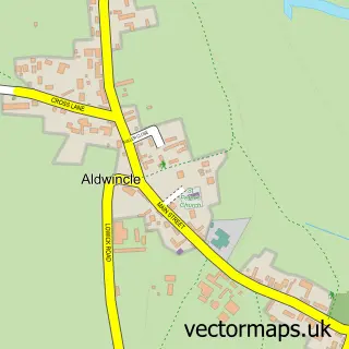
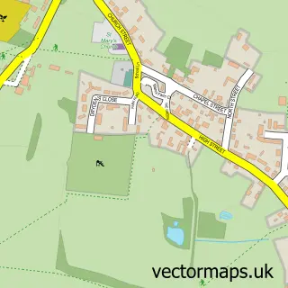
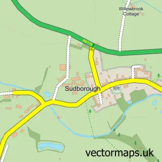
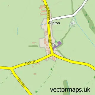
Nearby street map samples around Islip

More street maps in Northamptonshire
750 metre map area coverage
Boundary, postcode and point of interest information for the 750m x 750m rectangle centred on this sample map.
Boundaries containing map centre
Constituency: Corby and East Northamptonshire Co Const
District: North Northamptonshire
Icb: NHS Northamptonshire ICB
Parish: Islip CP
Police Force: northamptonshire
Postcode District: NN14
Postcode Sector: NN14 3
Ward: Thrapston Ward
Nearby boundaries intersecting sample
Parish: Thrapston CP
Postcode Sector: NN14 4
Postcode coverage
POI category counts
Building Supply Store: 2
Hair Salon: 2
Home Cleaning: 2
Martial Arts Club: 2
Advertising Agency: 1
Anglican Church: 1
Beauty Product Supplier: 1
Dance School: 1
Electronics: 1
Gardener: 1
Sample points of interest
- Red Socks Marketing
- St Nicholas, Islip
- Corinne Beauty Therapy
- H & M Carpentry
- Street Energy
- Step N Grooves Dance School
- Thrapston Computer Repair Service
- Islip Village Hall
- Hair At Number One
- Hair at Number One
- Kind Klean Non Toxic Cleaning
- The Lavender House Cleaning Co.
Create a larger editable map of Islip
This sample shows only a 750 metre area. To create a larger map of Islip, use our map builder to choose your own coverage area, add titles and download editable SVG, PDF and PNG files.
Create a custom map of Islip