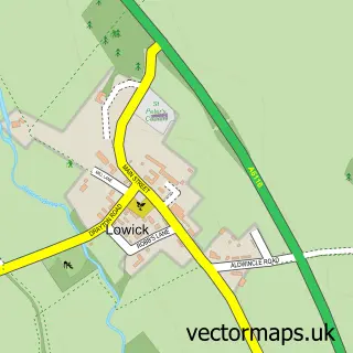
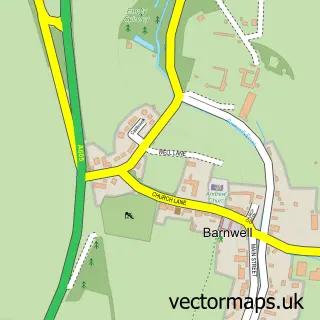
This Aldwincle street map is a detailed vector street map covering a 750m x 750m area. Select a larger area to create and download your own vector street map of Aldwincle.
The 750-metre map sample for Aldwincle covers 146 mapped buildings and approximately 13.4 km of road detail, of which 6 named roads are named. The immediate area includes 1 school, 2 GP surgeries within 2 miles and 1 MOT station. To create a larger or custom map of Aldwincle, the map builder lets you define your own coverage area and download editable SVG, PDF and PNG files.
Create a larger editable map of Aldwincle
Choose any area you need and generate a high-quality vector map instantly. Perfect for print, planning, design, business and personal use.

This Aldwincle street map in Northamptonshire is available as downloadable SVG, PDF and PNG map files, or as a printed map for planning, business, display, education, local information and design work. You can also create a larger custom map area using the map selector.
What this Aldwincle map sample shows
Aldwincle lies within Aldwincle Cp parish, part of Barnwell ward in the North Northamptonshire local authority area. The postcode geography for this area includes the NN postcode area, the NN14 postcode district and the NN14 3 postcode sector. Residents fall under the Nhs Northamptonshire Integrated Care Board for NHS services.
Local features near Aldwincle
Within 2 milesAmenities and services in and around Aldwincle.
Administrative and postcode information for Aldwincle
The local authority covering Aldwincle is North Northamptonshire, within the county of Northamptonshire. The settlement lies within Barnwell ward and Aldwincle Cp civil parish. The NN14 postcode district and NN14 3 postcode sector serve the immediate area. NHS provision in the area is delivered through Kettering General Hospital Nhs Foundation Trust.
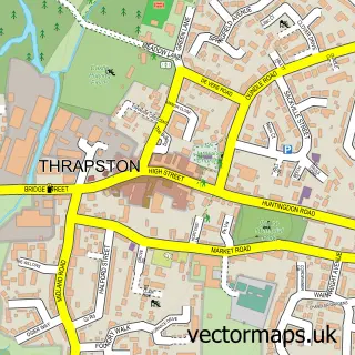
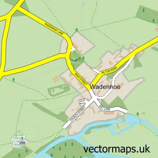
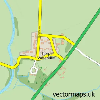
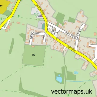
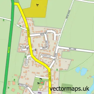
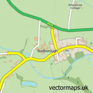
Nearby street map samples around Aldwincle

More street maps in Northamptonshire
750 metre map area coverage
Boundary, postcode and point of interest information for the 750m x 750m rectangle centred on this sample map.
Boundaries containing map centre
Constituency: Corby and East Northamptonshire Co Const
District: North Northamptonshire
Icb: NHS Northamptonshire ICB
Parish: Aldwincle CP
Police Force: northamptonshire
Postcode District: NN14
Postcode Sector: NN14 3
Ward: Thrapston Ward
Nearby boundaries intersecting sample
No additional intersecting boundaries found.
Postcode coverage
POI category counts
Bed And Breakfast: 2
Anglican Church: 1
Beauty Salon: 1
Car Rental Agency: 1
Church Cathedral: 1
Community Center: 1
Construction Services: 1
Elementary School: 1
Pet Boarding: 1
Preschool: 1
Sample points of interest
- St Peter's Church Aldwincle
- Bavaro's Hair Design
- Pear Tree Farm
- Peartree Farm
- Hire My DS
- Aldwincle St Peter's Church
- Aldwincle Village Hall
- AC Groundworks Construction
- Trinity C.E. Primary School
- Hankins B Bed Breakfast
- Aldwincle Pre-School
- Rachel Barnes Photography
Create a larger editable map of Aldwincle
This sample shows only a 750 metre area. To create a larger map of Aldwincle, use our map builder to choose your own coverage area, add titles and download editable SVG, PDF and PNG files.
Create a custom map of Aldwincle