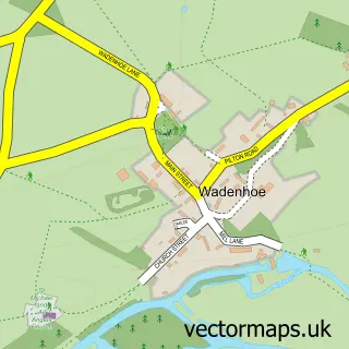
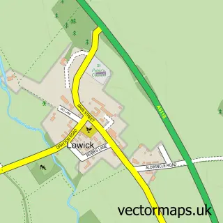
This Titchmarsh street map is a detailed vector street map covering a 750m x 750m area. Select a larger area to create and download your own vector street map of Titchmarsh.
The 750-metre map sample for Titchmarsh covers 172 mapped buildings and approximately 9.4 km of road detail, of which 11 named roads are named. The immediate area includes 1 school, 2 GP surgeries within 2 miles, 1 pub and 4 MOT stations within 2 miles. The wider area around Titchmarsh features 1 food and drink venue. To create a larger or custom map of Titchmarsh, the map builder lets you define your own coverage area and download editable SVG, PDF and PNG files.
Create a larger editable map of Titchmarsh
Choose any area you need and generate a high-quality vector map instantly. Perfect for print, planning, design, business and personal use.

This Titchmarsh street map in Northamptonshire is available as downloadable SVG, PDF and PNG map files, or as a printed map for planning, business, display, education, local information and design work. You can also create a larger custom map area using the map selector.
What this Titchmarsh map sample shows
Titchmarsh lies within Titchmarsh Cp parish, part of Barnwell ward in the North Northamptonshire local authority area. The postcode geography for this area includes the NN postcode area, the NN14 postcode district and the NN14 3 postcode sector. Residents fall under the Nhs Northamptonshire Integrated Care Board for NHS services.
Local features near Titchmarsh
Within 2 milesAmenities and services in and around Titchmarsh.
Administrative and postcode information for Titchmarsh
The local authority covering Titchmarsh is North Northamptonshire, within the county of Northamptonshire. The settlement lies within Barnwell ward and Titchmarsh Cp civil parish. The NN14 postcode district and NN14 3 postcode sector serve the immediate area. NHS provision in the area is delivered through North West Anglia Nhs Foundation Trust.
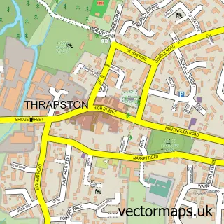
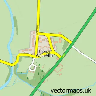
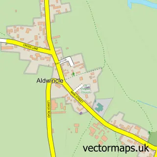
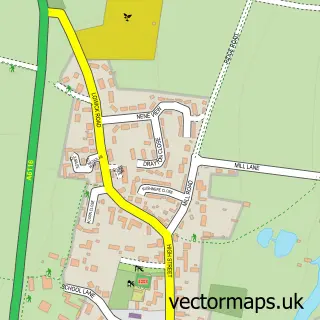
Nearby street map samples around Titchmarsh

More street maps in Northamptonshire
750 metre map area coverage
Boundary, postcode and point of interest information for the 750m x 750m rectangle centred on this sample map.
Boundaries containing map centre
Constituency: Corby and East Northamptonshire Co Const
District: North Northamptonshire
Icb: NHS Northamptonshire ICB
Parish: Titchmarsh CP
Police Force: northamptonshire
Postcode District: NN14
Postcode Sector: NN14 3
Ward: Thrapston Ward
Nearby boundaries intersecting sample
No additional intersecting boundaries found.
Postcode coverage
POI category counts
Elementary School: 2
Hvac Services: 2
Anglican Church: 1
Bakery: 1
Bed And Breakfast: 1
Caterer: 1
Community Services Non Profits: 1
Eat And Drink: 1
Event Technology Service: 1
Home Service: 1
Sample points of interest
- St Mary the Virgin
- Dovely Bakery
- The Horseshoes Bed & Breakfast
- The Rustic Caterer
- Titchmarsh Village Shop
- Titchwincle Honey
- The United Church Schools Trust
- Titchmarsh Church of England Primary School
- Motorshow at
- Smudged Messy Play
- Atmosphere Air Conditioning & Ventilation Specialists Ltd
- Atmosphere Air Conditioning Ltd
Create a larger editable map of Titchmarsh
This sample shows only a 750 metre area. To create a larger map of Titchmarsh, use our map builder to choose your own coverage area, add titles and download editable SVG, PDF and PNG files.
Create a custom map of Titchmarsh