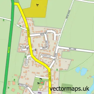
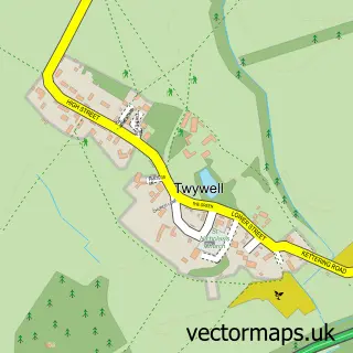
This Thrapston street map is a detailed vector street map covering a 750m x 750m area. Select a larger area to create and download your own vector street map of Thrapston.
The 750-metre map sample for Thrapston covers 488 mapped buildings and approximately 29.8 km of road detail, of which 47 named roads are named. The immediate area includes 1 school, 2 GP surgeries, 9 pubs and 3 MOT stations, with 4 within 2 miles. The wider area around Thrapston features 3 tourism points of interest, 15 food and drink venues and 2 hotels. To create a larger or custom map of Thrapston, the map builder lets you define your own coverage area and download editable SVG, PDF and PNG files.
Create a larger editable map of Thrapston
Choose any area you need and generate a high-quality vector map instantly. Perfect for print, planning, design, business and personal use.

This Thrapston street map in Northamptonshire is available as downloadable SVG, PDF and PNG map files, or as a printed map for planning, business, display, education, local information and design work. You can also create a larger custom map area using the map selector.
What this Thrapston map sample shows
Thrapston lies within Thrapston Cp parish, part of Thrapston Lakes ward in the North Northamptonshire local authority area. The postcode geography for this area includes the NN postcode area, the NN14 postcode district and the NN14 4 postcode sector. Residents fall under the Nhs Northamptonshire Integrated Care Board for NHS services.
Local features near Thrapston
Within 2 milesAmenities and services in and around Thrapston.
Administrative and postcode information for Thrapston
Thrapston lies within Thrapston Cp parish, part of Thrapston Lakes ward in the North Northamptonshire local authority area. The postcode geography for this area includes the NN postcode area, the NN14 postcode district and the NN14 4 postcode sector. Residents fall under the Nhs Northamptonshire Integrated Care Board for NHS services.
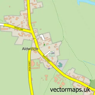
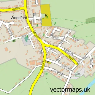
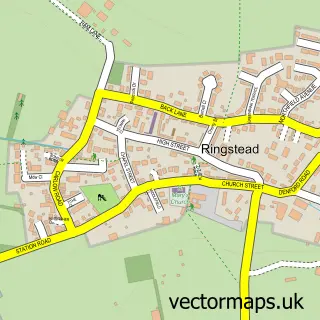
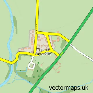
Nearby street map samples around Thrapston

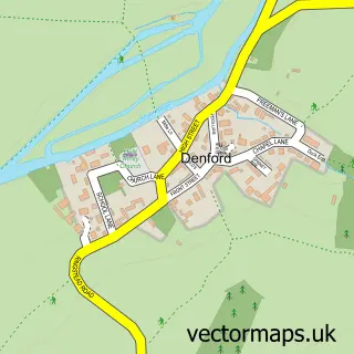
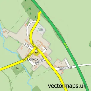
More street maps in Northamptonshire
750 metre map area coverage
Boundary, postcode and point of interest information for the 750m x 750m rectangle centred on this sample map.
Boundaries containing map centre
Constituency: Corby and East Northamptonshire Co Const
District: North Northamptonshire
Icb: NHS Northamptonshire ICB
Parish: Thrapston CP
Police Force: northamptonshire
Postcode District: NN14
Postcode Sector: NN14 4
Ward: Thrapston Ward
Nearby boundaries intersecting sample
Postcode Sector: NN14 3
Postcode coverage
POI category counts
Pub: 9
Sports Club And League: 7
Barber: 5
Automotive Repair: 4
Bridal Shop: 4
Clothing Store: 4
Dentist: 4
Flowers And Gifts Shop: 4
Real Estate Agent: 4
Business Management Services: 3
Sample points of interest
- Jon Essam & Co Ltd Chartered Accountants
- Age Concern
- Victoria's Emporium
- Fermynwoods Contemporary Art
- Primrose Gallery
- Adrian Teal Cartoons
- ATM (Post Office)
- Henry H Bletsoe & Son LLP
- Thrapston Livestock Auction
- CaVrooom Limited
- Browns Garage Ltd
- Chancery Autos
Create a larger editable map of Thrapston
This sample shows only a 750 metre area. To create a larger map of Thrapston, use our map builder to choose your own coverage area, add titles and download editable SVG, PDF and PNG files.
Create a custom map of Thrapston