This Lowick street map is a detailed vector street map covering a 750m x 750m area. Select a larger area to create and download your own vector street map of Lowick.
The 750-metre map sample for Lowick covers 71 mapped buildings and approximately 17.6 km of road detail, of which 5 named roads are named. The immediate area includes 2 GP surgeries within 2 miles, 1 pub and 5 MOT stations within 2 miles. The wider area around Lowick features 2 tourism points of interest and 1 food and drink venue. To create a larger or custom map of Lowick, the map builder lets you define your own coverage area and download editable SVG, PDF and PNG files.
Create a larger editable map of Lowick
Choose any area you need and generate a high-quality vector map instantly. Perfect for print, planning, design, business and personal use.

This Lowick street map in Northamptonshire is available as downloadable SVG, PDF and PNG map files, or as a printed map for planning, business, display, education, local information and design work. You can also create a larger custom map area using the map selector.
What this Lowick map sample shows
Lowick lies within Lowick Cp parish, part of Lyveden ward in the North Northamptonshire local authority area. The postcode geography for this area includes the NN postcode area, the NN14 postcode district and the NN14 3 postcode sector. Residents fall under the Nhs Northamptonshire Integrated Care Board for NHS services.
Local features near Lowick
Within 2 milesAmenities and services in and around Lowick.
Administrative and postcode information for Lowick
The local authority covering Lowick is North Northamptonshire, within the county of Northamptonshire. The settlement lies within Lyveden ward and Lowick Cp civil parish. The NN14 postcode district and NN14 3 postcode sector serve the immediate area. NHS provision in the area is delivered through Kettering General Hospital Nhs Foundation Trust.
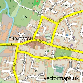
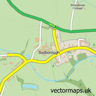
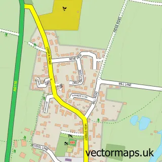
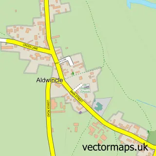
Nearby street map samples around Lowick

More street maps in Northamptonshire
750 metre map area coverage
Boundary, postcode and point of interest information for the 750m x 750m rectangle centred on this sample map.
Boundaries containing map centre
Constituency: Corby and East Northamptonshire Co Const
District: North Northamptonshire
Icb: NHS Northamptonshire ICB
Parish: Lowick CP
Police Force: northamptonshire
Postcode District: NN14
Postcode Sector: NN14 3
Ward: Thrapston Ward
Nearby boundaries intersecting sample
No additional intersecting boundaries found.
Postcode coverage
POI category counts
Anglican Church: 1
Beauty Salon: 1
Church Cathedral: 1
Gift Shop: 1
Landmark And Historical Building: 1
Park: 1
Pest Control Service: 1
Pub: 1
Real Estate: 1
Sample points of interest
- St Peter Lowick
- Chaelis Advanced Aesthetics
- St Peter's Church, Lowick
- Bundles of Joy
- Lowick, Northamptonshire
- Lowick Pocket Park
- Greener Pest Control
- The Snooty Fox
- The Drayton Estate
Create a larger editable map of Lowick
This sample shows only a 750 metre area. To create a larger map of Lowick, use our map builder to choose your own coverage area, add titles and download editable SVG, PDF and PNG files.
Create a custom map of Lowick