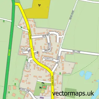
This Wadenhoe street map is a detailed vector street map covering a 750m x 750m area. Select a larger area to create and download your own vector street map of Wadenhoe.
The 750-metre map sample for Wadenhoe covers 73 mapped buildings and approximately 11.8 km of road detail, of which 7 named roads are named. The immediate area includes 1 pub and 1 MOT station within 2 miles. The wider area around Wadenhoe features 1 food and drink venue and 1 hotel. To create a larger or custom map of Wadenhoe, the map builder lets you define your own coverage area and download editable SVG, PDF and PNG files.
Create a larger editable map of Wadenhoe
Choose any area you need and generate a high-quality vector map instantly. Perfect for print, planning, design, business and personal use.

This Wadenhoe street map in Northamptonshire is available as downloadable SVG, PDF and PNG map files, or as a printed map for planning, business, display, education, local information and design work. You can also create a larger custom map area using the map selector.
What this Wadenhoe map sample shows
Wadenhoe lies within Wadenhoe Cp parish, part of Oundle ward in the North Northamptonshire local authority area. The postcode geography for this area includes the PE postcode area, the PE8 postcode district and the PE8 5 postcode sector. Residents fall under the Nhs Northamptonshire Integrated Care Board for NHS services.
Local features near Wadenhoe
Within 2 milesAmenities and services in and around Wadenhoe.
Administrative and postcode information for Wadenhoe
The local authority covering Wadenhoe is North Northamptonshire, within the county of Northamptonshire. The settlement lies within Oundle ward and Wadenhoe Cp civil parish. The PE8 postcode district and PE8 5 postcode sector serve the immediate area. NHS provision in the area is delivered through Kettering General Hospital Nhs Foundation Trust.
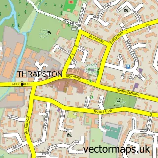
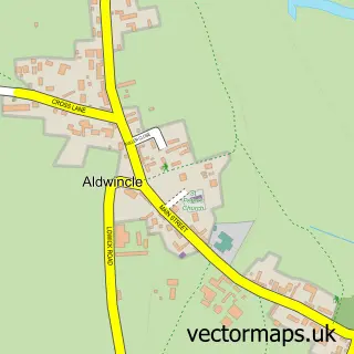
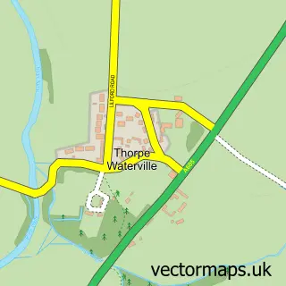
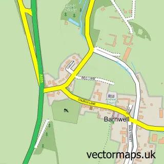
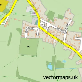
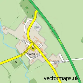
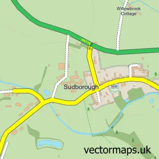
Nearby street map samples around Wadenhoe

More street maps in Northamptonshire
750 metre map area coverage
Boundary, postcode and point of interest information for the 750m x 750m rectangle centred on this sample map.
Boundaries containing map centre
Constituency: Corby and East Northamptonshire Co Const
District: North Northamptonshire
Icb: NHS Northamptonshire ICB
Parish: Wadenhoe CP
Police Force: northamptonshire
Postcode District: PE8
Postcode Sector: PE8 5
Ward: Thrapston Ward
Nearby boundaries intersecting sample
Parish: Thorpe Achurch CP
Postcode coverage
POI category counts
Church Cathedral: 2
Anglican Church: 1
Cinema: 1
Event Photography: 1
Hotel: 1
Legal Services: 1
Library: 1
Personal Care Service: 1
Professional Services: 1
Property Management: 1
Sample points of interest
- St Michael & All Angels
- Wadenhoe Church
- Wadenhoe Church St Michael and All Angels
- Wadenhoe Village Hall
- Wildside UK Productions
- Wadenhoe House
- JJ Solicitors LLP
- The Luggy Library
- Nene Valley Media Ltd.
- Image Exclusive
- Wadenhoe Trust
- Kings Head
Create a larger editable map of Wadenhoe
This sample shows only a 750 metre area. To create a larger map of Wadenhoe, use our map builder to choose your own coverage area, add titles and download editable SVG, PDF and PNG files.
Create a custom map of Wadenhoe