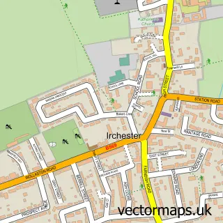
This Irthlingborough street map is a detailed vector street map covering a 750m x 750m area. Select a larger area to create and download your own vector street map of Irthlingborough.
The 750-metre map sample for Irthlingborough covers 523 mapped buildings and approximately 30.9 km of road detail, of which 50 named roads are named. The immediate area includes 2 schools, 1 GP surgery, with 3 within 2 miles, 3 pubs and 1 MOT station, with 10 within 2 miles. The wider area around Irthlingborough features 2 tourism points of interest and 9 food and drink venues. To create a larger or custom map of Irthlingborough, the map builder lets you define your own coverage area and download editable SVG, PDF and PNG files.
Create a larger editable map of Irthlingborough
Choose any area you need and generate a high-quality vector map instantly. Perfect for print, planning, design, business and personal use.

This Irthlingborough street map in Northamptonshire is available as downloadable SVG, PDF and PNG map files, or as a printed map for planning, business, display, education, local information and design work. You can also create a larger custom map area using the map selector.
What this Irthlingborough map sample shows
Irthlingborough lies within Irthlingborough Cp parish, part of Irthlingborough Waterloo ward in the North Northamptonshire local authority area. The postcode geography for this area includes the NN postcode area, the NN9 postcode district and the NN9 5 postcode sector. Residents fall under the Nhs Northamptonshire Integrated Care Board for NHS services.
Local features near Irthlingborough
Within 2 milesAmenities and services in and around Irthlingborough.
Administrative and postcode information for Irthlingborough
Irthlingborough lies within Irthlingborough Cp parish, part of Irthlingborough Waterloo ward in the North Northamptonshire local authority area. The postcode geography for this area includes the NN postcode area, the NN9 postcode district and the NN9 5 postcode sector. Residents fall under the Nhs Northamptonshire Integrated Care Board for NHS services.
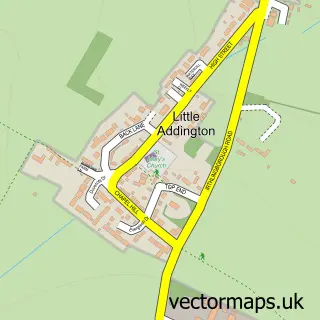
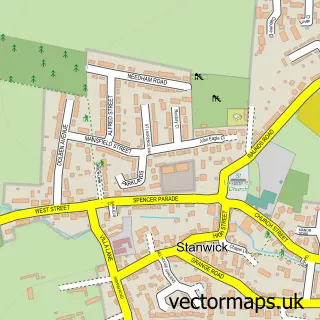
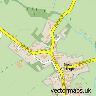
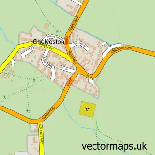
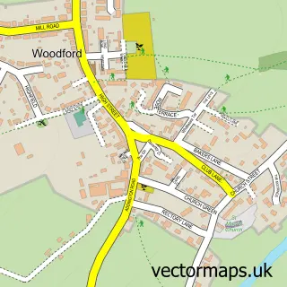
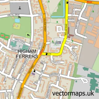
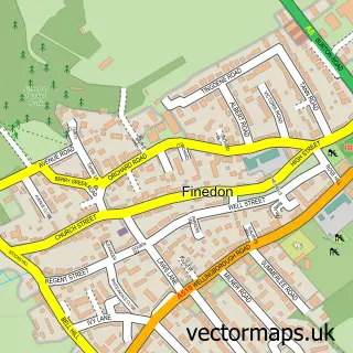
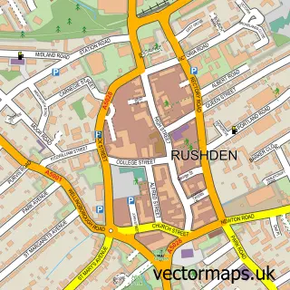
Nearby street map samples around Irthlingborough

More street maps in Northamptonshire
750 metre map area coverage
Boundary, postcode and point of interest information for the 750m x 750m rectangle centred on this sample map.
Boundaries containing map centre
Constituency: Wellingborough and Rushden Co Const
District: North Northamptonshire
Icb: NHS Northamptonshire ICB
Parish: Irthlingborough CP
Police Force: northamptonshire
Postcode District: NN9
Postcode Sector: NN9 5
Ward: Irthlingborough Ward
Nearby boundaries intersecting sample
No additional intersecting boundaries found.
Postcode coverage
POI category counts
Hair Salon: 7
Beauty Salon: 5
Indian Restaurant: 5
Building Supply Store: 4
Professional Services: 4
Chinese Restaurant: 3
Home Improvement Store: 3
Alternative Medicine: 2
Automotive Repair: 2
Barber: 2
Sample points of interest
- Chloe Goodman Pilates and Wellness
- Body Sanctuary
- Natalia Dent Hypnotherapy
- Irthlingborough: St Peter
- Lesley's Loft
- Crystal Financial Services
- Highcross Motors
- Highcross Motors
- Nationwide Building Society
- Nationwide
- The Horse Shoe Inn
- Clayton & Co Barbers
Create a larger editable map of Irthlingborough
This sample shows only a 750 metre area. To create a larger map of Irthlingborough, use our map builder to choose your own coverage area, add titles and download editable SVG, PDF and PNG files.
Create a custom map of Irthlingborough